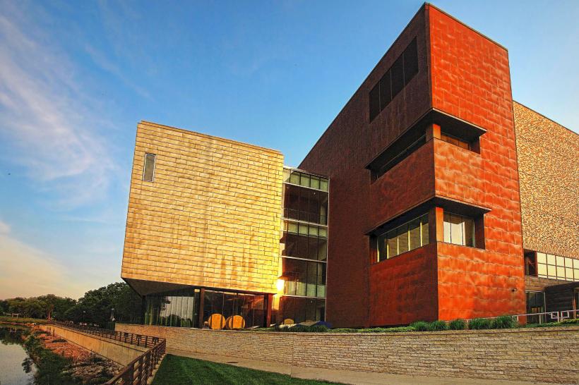
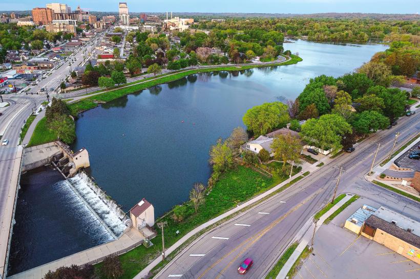
Landmark: Zumbro River Trail
City: Rochester MN
Country: USA Minnesota
Continent: North America
Zumbro River Trail, Rochester MN, USA Minnesota, North America
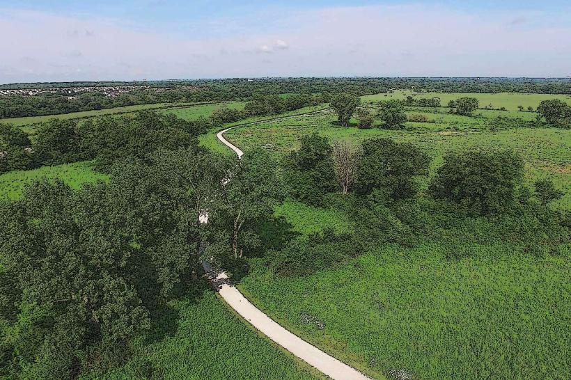
The Zumbro River Trail is a linear park system traversing the city of Rochester, Minnesota, USA. It follows the course of the Zumbro River.
Visual Characteristics
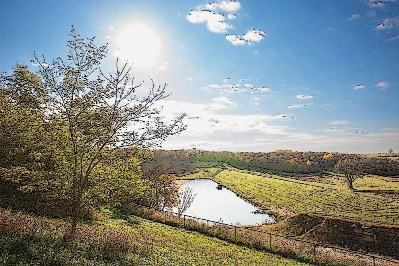
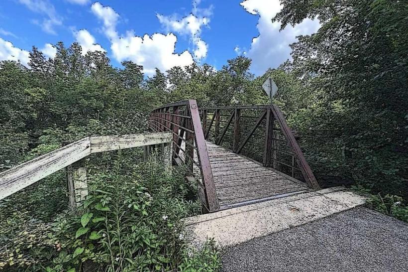
The trail is primarily paved asphalt, averaging 3 meters in width. It is bordered by deciduous trees, with the Zumbro River to the north or south depending on the segment. River water color varies from brown to green based on recent precipitation. Undergrowth consists of native grasses and shrubs.
Location & Access Logistics
Access points are numerous throughout Rochester. The main trailhead is located at 400 7th Street NW, approximately 1.5km west of the city center. Parking is available at designated lots along the trail, including the lot at Soldiers Field Park (300 7th St SW), which is 0.8km East of the main trailhead. Public transport: Rochester Public Transit bus lines 2 and 5 stop within 0.5km of multiple access points.
Historical & Ecological Origin
The Zumbro River is a tributary of the Mississippi River. The trail system was developed in phases starting in the late 1970s, with the primary purpose of flood control and recreational access. The river valley itself is a product of glacial meltwater erosion from the last ice age.
Key Highlights & Activities
Walking, jogging, and cycling are the primary activities. Fishing is permitted in designated areas along the river. Birdwatching is common due to the riparian habitat. Kayaking and canoeing are possible during periods of sufficient water flow, typically spring through fall.
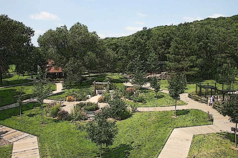
Infrastructure & Amenities
Restrooms are available at major access points, including Soldiers Field Park and Cascade Park. Benches are spaced approximately every 500 meters. Shade is provided by mature trees. Cell phone signal (4G/5G) is generally consistent along the paved sections within the city limits. No food vendors are directly on the trail; nearest options are in adjacent commercial areas.
Best Time to Visit
For photography, early morning or late afternoon light offers optimal illumination of the river and foliage. The months of May through October provide the most pleasant weather for outdoor activities. Water levels for paddling are typically highest in April and May.
Facts & Legends
A local historical oddity is the presence of remnants of old mill races and dams along certain sections, dating back to the early 19th century when the river powered early industrial operations in Rochester.
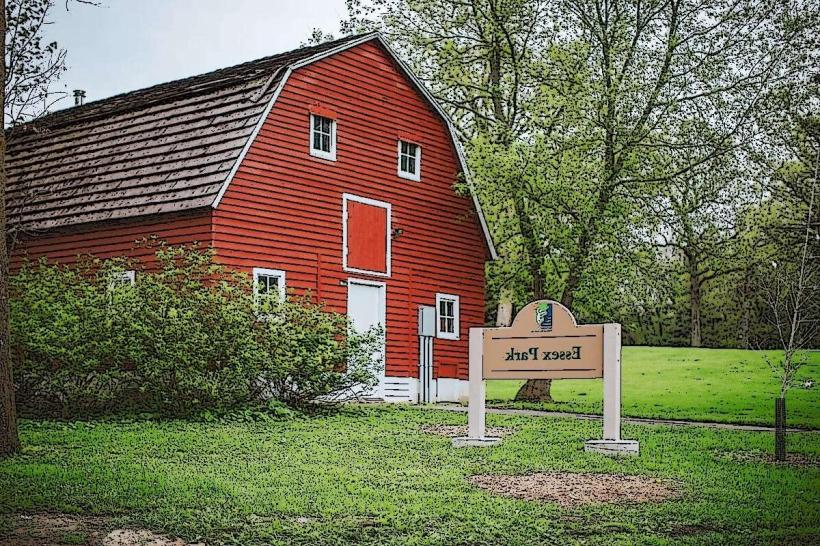
Nearby Landmarks
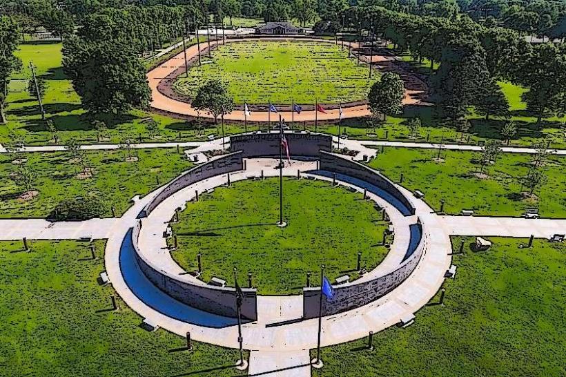
- Soldiers Field Park (0.8km East)
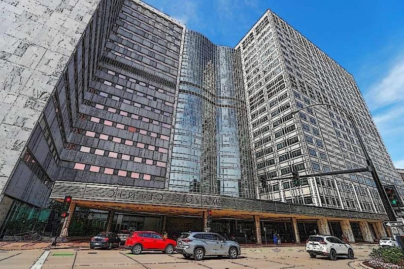
- Mayo Clinic Campus (2.0km Southeast)
- Cascade Meadow Wetlands & Environmental Learning Center (1.5km Northeast)
- Silver Lake Park (3.5km East)