Landmark: Gamehaven Reservoir
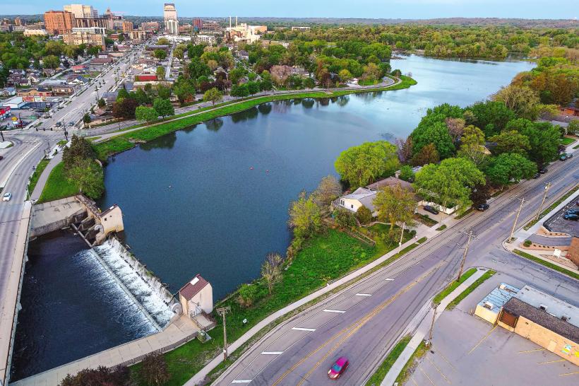
City: Rochester MN
Country: USA Minnesota
Continent: North America
Gamehaven Reservoir, Rochester MN, USA Minnesota, North America
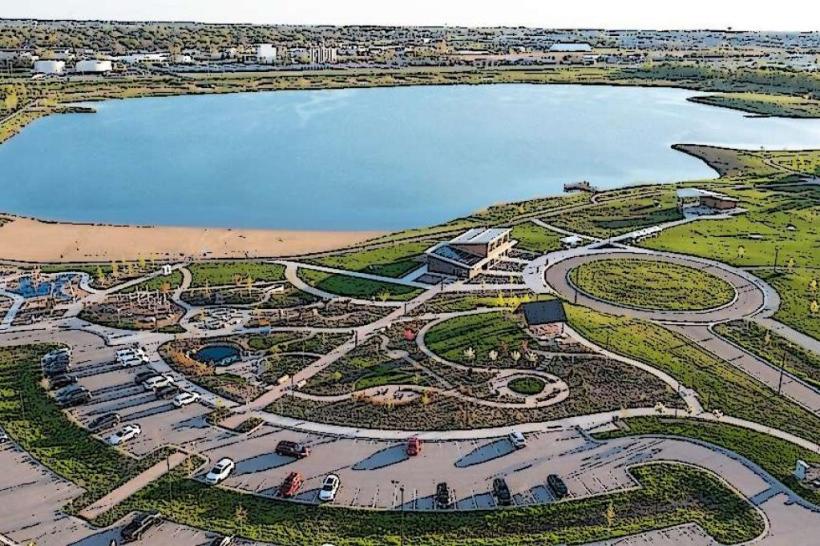
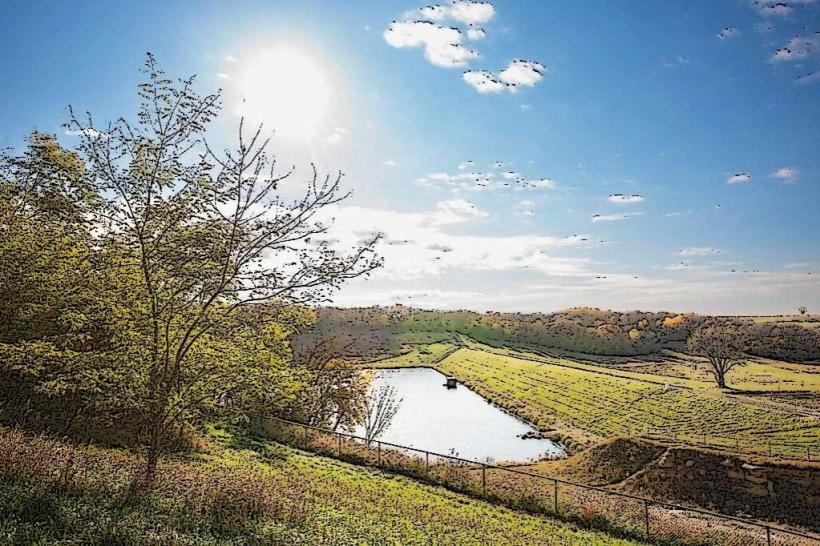
Gamehaven Reservoir is a man-made lake located in Rochester, Minnesota, USA. It serves as a primary water source and recreational area for the surrounding region.
Visual Characteristics
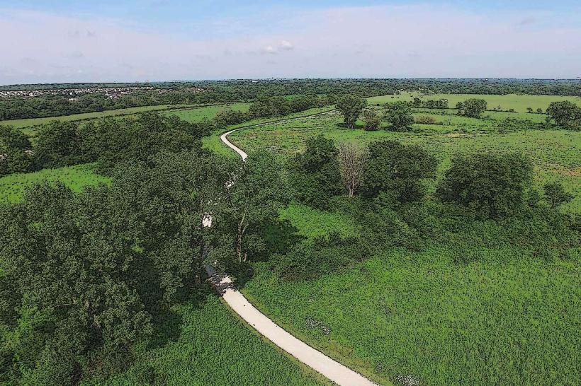
The reservoir is characterized by its irregular shoreline, with water depths varying significantly. The surrounding terrain is a mix of deciduous forest and open grassland. Water color is typically brown to green, influenced by sediment and algal blooms depending on the season.
Location & Access Logistics
Gamehaven Reservoir is situated approximately 10 kilometers (6.2 miles) southwest of downtown Rochester, MN. Access is via County Road 14 (16th Street SE) and then south on County Road 105 (County Road 105 SE). A dedicated parking lot is available at the main access point, with additional informal pull-offs along the access road. Public transport does not directly serve the reservoir; private vehicle is the primary mode of access.
Historical & Ecological Origin
Construction of the Gamehaven Dam was completed in 1976. The reservoir was created by impounding the flow of the South Fork Zumbro River. Its original purpose was flood control and water supply for the city of Rochester. Ecologically, it is a freshwater reservoir supporting a variety of fish and bird species.
Key Highlights & Activities
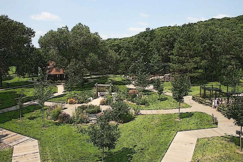
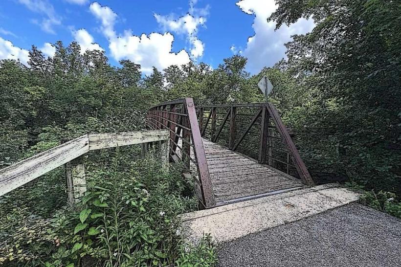
Fishing is permitted within the reservoir. Boating, including kayaking and canoeing, is allowed. Designated areas are available for picnicking. Hiking trails circumnavigate sections of the reservoir perimeter.
Infrastructure & Amenities
Restrooms are available at the main access point. Limited shade is provided by natural tree cover. Cell phone signal (4G/5G) is generally available but can be intermittent in certain areas. No on-site food vendors are present; visitors should bring their own provisions.
Best Time to Visit
For photography, early morning and late afternoon offer optimal lighting conditions due to lower sun angles. The months of May through October generally provide the most favorable weather for outdoor activities. Water levels can fluctuate, but no specific tide requirements are applicable.
Facts & Legends
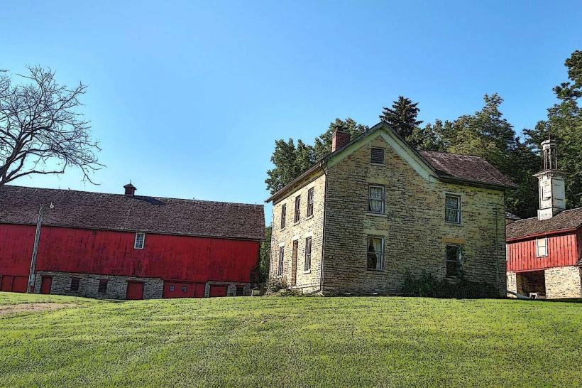
A local anecdote suggests that during periods of exceptionally low water, remnants of an old farmstead are visible on the reservoir bed. This is unverified but frequently cited by long-term residents.
Nearby Landmarks
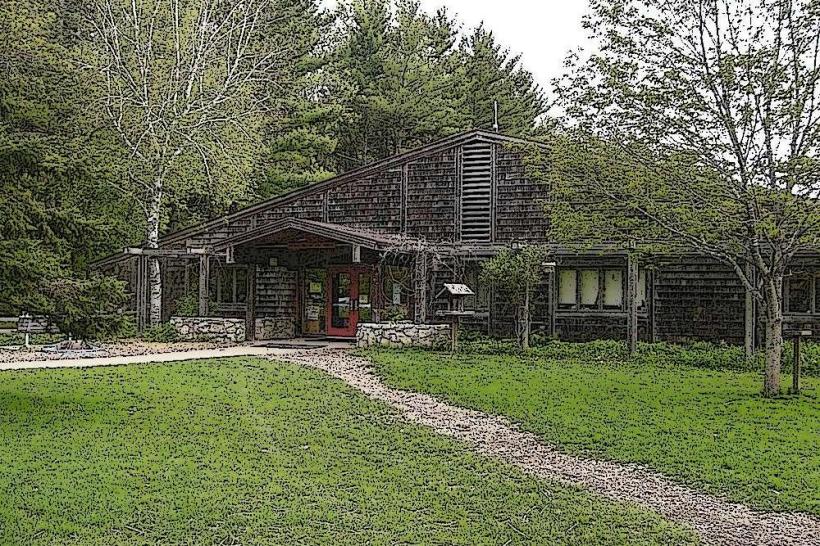
- 3.5km Northeast: Quarry Hill Nature Center
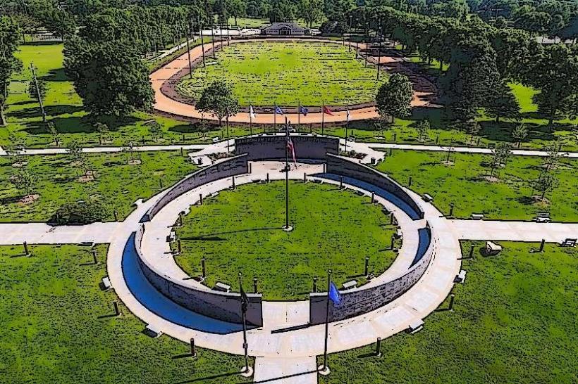
- 4.0km Northeast: Soldiers Field Veterans Memorial
- 5.0km Northeast: Rochester Art Center
- 2.0km East: Oxbow Park