Landmark: Bighorn National Forest
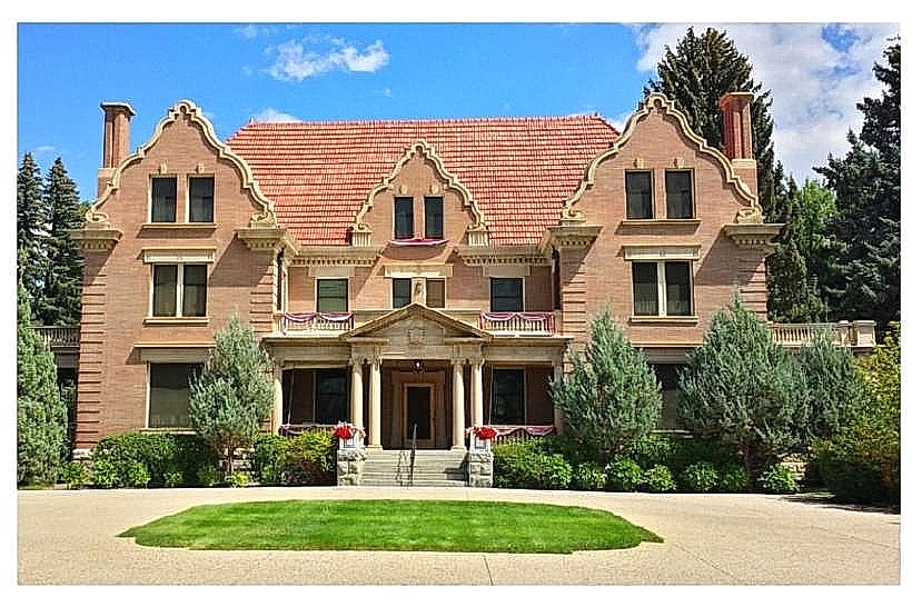
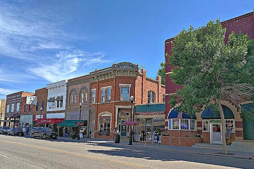
City: Sheridan
Country: USA Wyoming
Continent: North America
Bighorn National Forest, Sheridan, USA Wyoming, North America
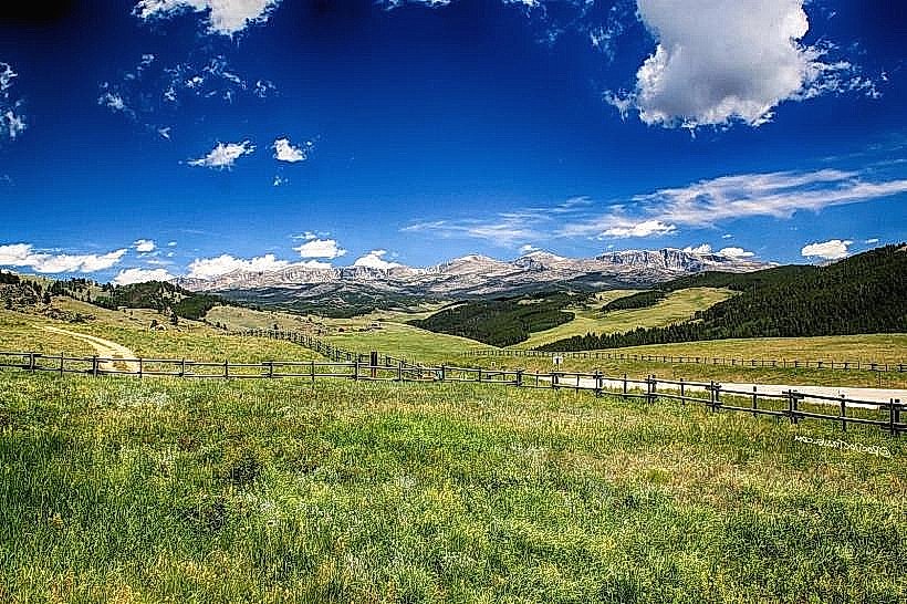
Bighorn National Forest is a protected area located in northern Wyoming, USA. It encompasses a significant portion of the Bighorn Mountains.
Visual Characteristics
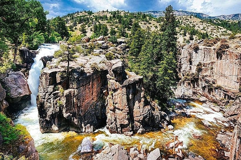
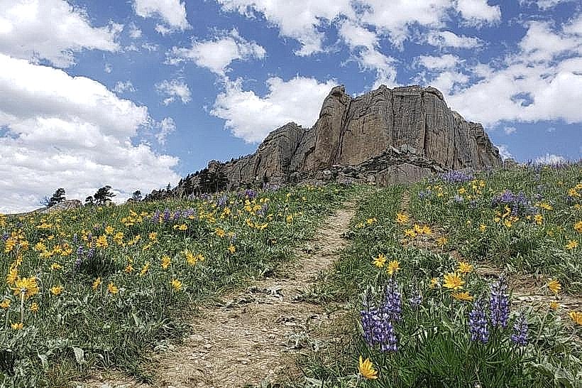
The forest features varied topography, including high mountain peaks, alpine meadows, and dense coniferous forests. Elevations range from approximately 4,000 feet to over 13,000 feet. Tree species include lodgepole pine, Engelmann spruce, and subalpine fir. Rock formations are predominantly sedimentary and igneous, with exposed granite at higher elevations. Several alpine lakes are present, characterized by clear, cold water.
Location & Access Logistics
Bighorn National Forest is accessible from Sheridan, Wyoming, located approximately 15 miles east of the forest boundary. U.S. Route 14 and U.S. Route 16 traverse the forest, providing primary access. Several paved and unpaved forest roads branch off these highways. Parking is available at designated pull-offs and trailheads. No public bus service operates within the forest. The nearest major airport is Sheridan County Airport (SHR).
Historical & Ecological Origin
Established as a forest reserve in 1897, Bighorn National Forest was created to protect timber and watershed resources. The Bighorn Mountains themselves are a fault-block mountain range, with their uplift occurring during the Laramide orogeny. The ecosystem is characterized by montane and alpine zones, supporting diverse flora and fauna adapted to high-altitude conditions.
Key Highlights & Activities
Hiking is available on over 1,200 miles of trails, including the 22-mile High Drive Trail. Scenic drives along U.S. Route 14 (Bighorn Scenic Byway) and U.S. Route 16 offer expansive views. Fishing is permitted in designated lakes and streams. Wildlife viewing opportunities include elk, bighorn sheep, and black bears. Camping is available at numerous developed campgrounds.
Infrastructure & Amenities
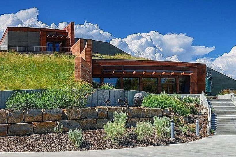
Restrooms are available at developed campgrounds and some picnic areas. Shade is abundant within forested areas. Cell phone signal is intermittent and generally unavailable at higher elevations or in remote areas. Limited food services are available at lodges and general stores located near the forest entrances, such as the Meadowlark Lodge.
Best Time to Visit
The primary visitor season is from late May through October, when most roads and trails are snow-free. July and August offer the warmest weather. For photography, early morning and late afternoon light provides optimal conditions for landscape shots. High tide is not applicable to this inland forest location.
Facts & Legends
The Medicine Wheel, an ancient Native American medicine wheel site, is located at an elevation of 9,600 feet within the forest. This site is considered sacred by many Indigenous peoples. A specific tip for visitors is to be aware of rapidly changing weather conditions at higher elevations, even during summer months.
Nearby Landmarks
- Cloud Peak Wilderness (0.1km West)
- Sheridan, Wyoming (15km East)
- Little Bighorn Battlefield National Monument (approx. 70km North)
- Devils Tower National Monument (approx. 90km East)
- Tongue River Canyon (approx. 20km South)