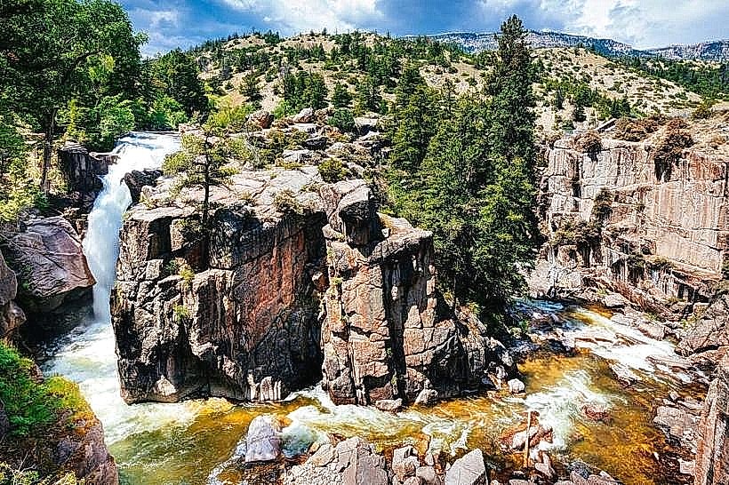
Landmark: Tongue River Canyon
City: Sheridan
Country: USA Wyoming
Continent: North America
Tongue River Canyon, Sheridan, USA Wyoming, North America
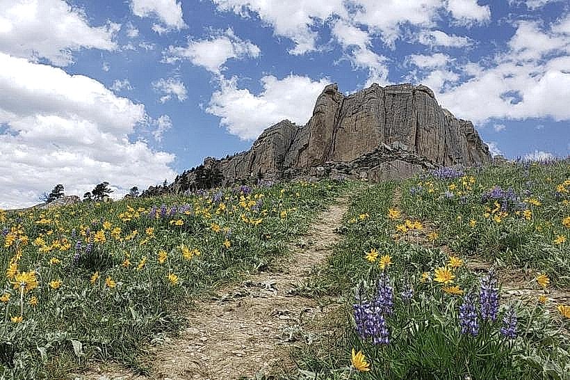
Tongue River Canyon is a geological formation located in Sheridan, Wyoming, USA. It is characterized by its steep, eroded walls and the river that flows through its base.
Visual Characteristics
The canyon walls are composed primarily of sandstone and shale, exhibiting layered strata in shades of tan, brown, and grey. Vertical erosion has created sheer cliffs and talus slopes. The Tongue River, which bisects the canyon, is typically clear and shallow, with a rocky bed. Vegetation is sparse on the canyon walls, consisting mainly of drought-resistant grasses and scattered juniper trees. The canyon floor supports denser riparian vegetation, including cottonwood trees and willows.
Location & Access Logistics
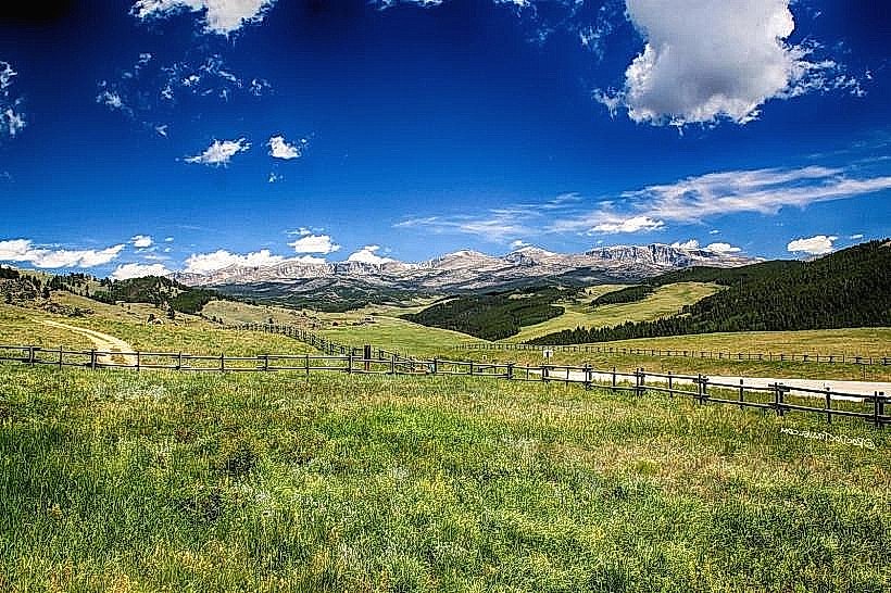
Tongue River Canyon is situated approximately 20 kilometers (12 miles) west of Sheridan, Wyoming. Access is via State Highway 330 (also known as the Burgess Junction Road). The highway passes directly through the canyon. Parking is available at designated pull-offs and a small trailhead parking area near the western entrance of the canyon. No public transport services operate directly to the canyon.
Historical & Ecological Origin
The canyon was formed by the erosive action of the Tongue River over millions of years, carving through sedimentary rock layers deposited during the Mesozoic and Cenozoic eras. The specific geological formations present are indicative of ancient riverbeds and lake environments. Ecologically, it represents a semi-arid canyon environment with a distinct riparian zone along the river.
Key Highlights & Activities
Hiking is possible on trails that follow the canyon rim and descend to the river. Rock climbing and bouldering are permitted on designated routes. Photography of the geological strata and river is a common activity. Fishing in the Tongue River is allowed with a Wyoming fishing license.
Infrastructure & Amenities
Restrooms are available at the main trailhead parking area. Shade is limited to areas with tree cover along the river. Cell phone signal (4G/5G) is intermittent and generally unavailable within the deeper sections of the canyon. No food vendors are present within the canyon itself; provisions should be made prior to arrival.
Best Time to Visit
For photography, early morning and late afternoon offer the best natural light for illuminating the canyon walls. The months of May through October provide the most favorable weather conditions, with daytime temperatures generally ranging from 15°C to 25°C (59°F to 77°F). River levels are typically lower and more stable during this period, facilitating access to the riverbed.
Facts & Legends
Local folklore suggests that the canyon's unique rock formations were shaped by the footsteps of ancient giants. Geologically, the prominent hoodoos and balanced rocks are a result of differential erosion, where harder rock layers protect softer underlying material from weathering.
Nearby Landmarks
- Bighorn National Forest (0.5km West)
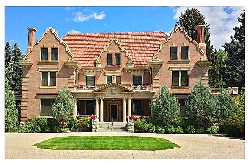
- Sheridan County Museum (20km East)
- King's Museum (21km East)
- Little Bighorn Battlefield National Monument (75km Northwest)