Landmark: Black Point Trail
City: Narragansett
Country: USA Rhode Island
Continent: North America
Black Point Trail, Narragansett, USA Rhode Island, North America
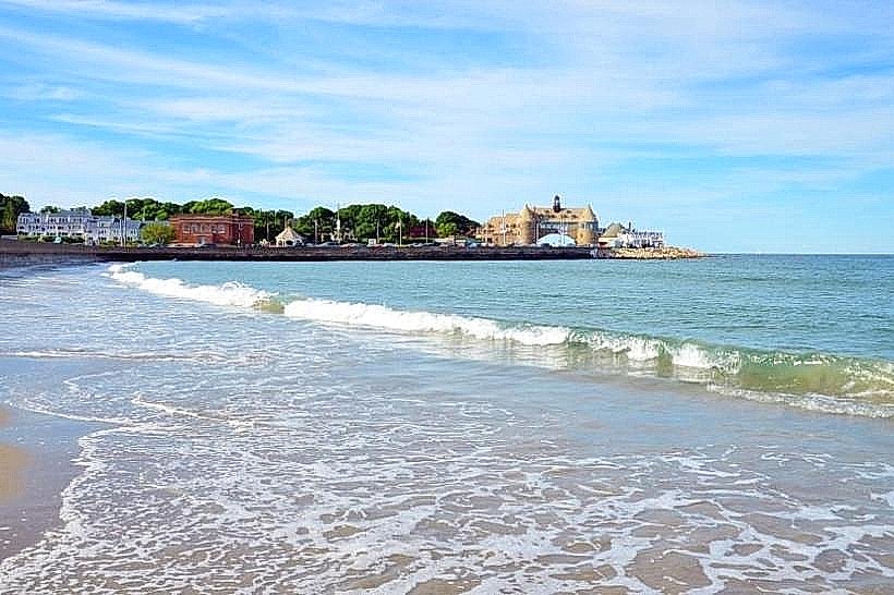
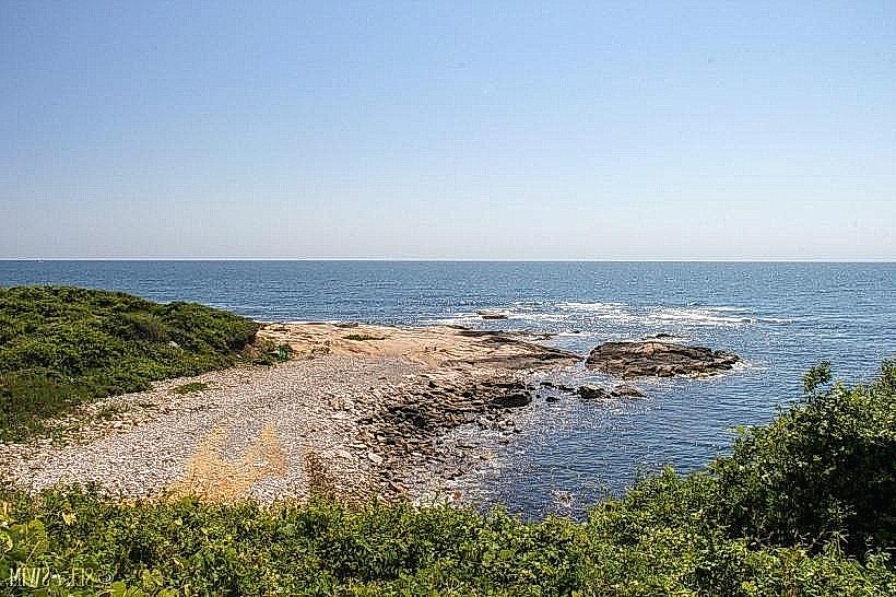
Black Point Trail is a coastal walking path located in Narragansett, Rhode Island. It follows the shoreline of the Atlantic Ocean.
Visual Characteristics
The trail consists of a narrow, unpaved path traversing rocky outcrops and sandy sections. Vegetation is primarily low-lying coastal scrub, including beach grass and bayberry. The ocean water color varies from deep blue to green depending on conditions. Rock formations are primarily granite and basalt, exhibiting erosion patterns from wave action.
Location & Access Logistics
The trailhead is situated at the end of Ocean Road in Narragansett, approximately 4.8 kilometers (3 miles) south of the town center. Parking is available at a designated lot adjacent to the trailhead, with capacity for approximately 30 vehicles. No public transport directly serves the trailhead; the nearest bus stop is located on Point Judith Road, requiring a 1.6-kilometer (1 mile) walk to reach the trail entrance.
Historical & Ecological Origin
The geological origin of the Black Point area is primarily glacial till and bedrock formations dating back to the last ice age. The trail itself was established by local residents for recreational access to the coastline. Ecologically, it represents a temperate coastal scrub environment.
Key Highlights & Activities
Walking the full length of the trail. Observing coastal bird species. Rock scrambling on designated sections. Photography of ocean vistas.
Infrastructure & Amenities
No restrooms are available directly at the trailhead or along the trail. Limited natural shade is provided by sparse vegetation. Cell phone signal (4G/5G) is generally available but can be intermittent in certain low-lying areas. No food vendors are present at the trailhead; nearest facilities are in Narragansett town center.
Best Time to Visit
For photography, early morning or late afternoon light offers optimal conditions. The best months for weather are typically May through October, with lower wind speeds and warmer temperatures. High tide can restrict access to certain lower-lying sections of the trail.
Facts & Legends
Local lore suggests that during Prohibition, smugglers used the coves along Black Point to offload contraband. The rocky terrain and limited visibility provided concealment.
Nearby Landmarks
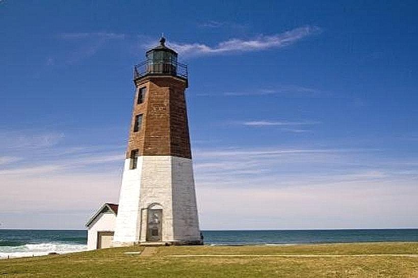
- Point Judith Lighthouse (1.5km Southwest)
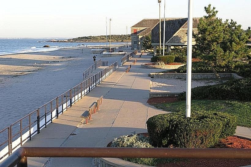
- Scarborough State Beach (2.0km North)
- Narragansett Town Beach (4.0km Northwest)
- Fishermen's Memorial State Park (3.5km Southwest)