Landmark: Salt Pond Bay
City: Narragansett
Country: USA Rhode Island
Continent: North America
Salt Pond Bay, Narragansett, USA Rhode Island, North America
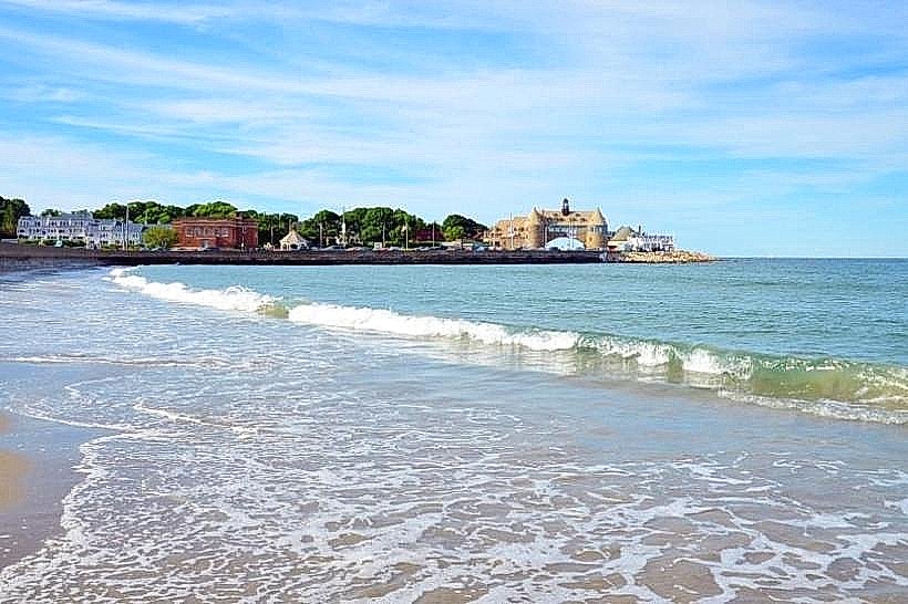
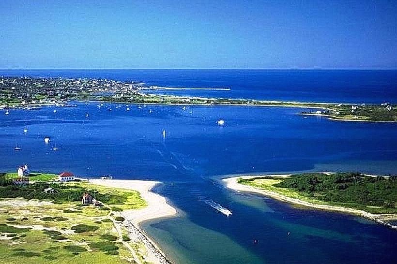
Salt Pond Bay is a coastal embayment located in Narragansett, Rhode Island. It is a protected body of water known for its shallow depths and salt marsh ecosystems.
Visual Characteristics
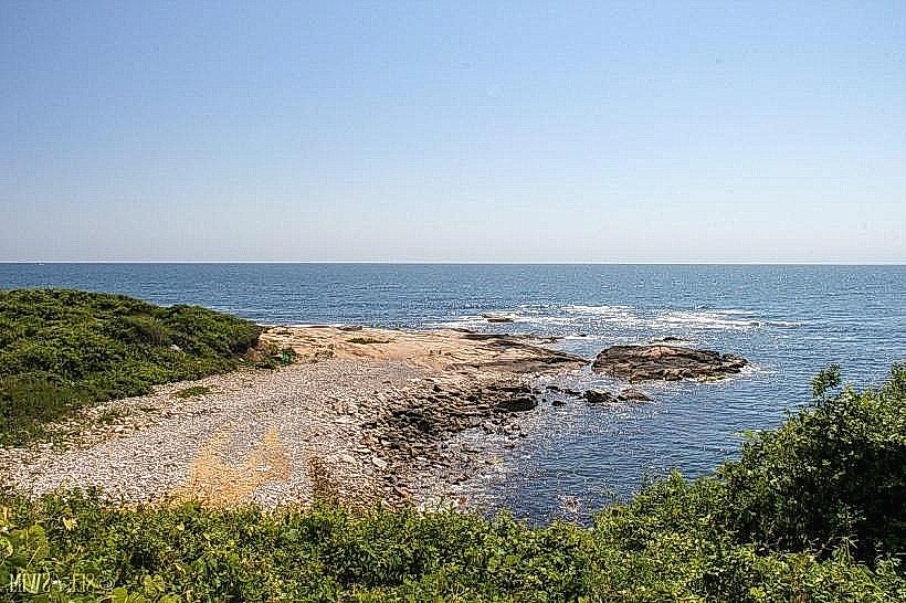
The bay features shallow, clear water with a sandy bottom in many areas. Extensive salt marsh vegetation, primarily cordgrass (Spartina alterniflora), borders the shoreline. The water color varies from light green to blue depending on depth and light conditions. The surrounding land is characterized by low-lying coastal terrain with scattered residential development and undeveloped marshland.
Location & Access Logistics
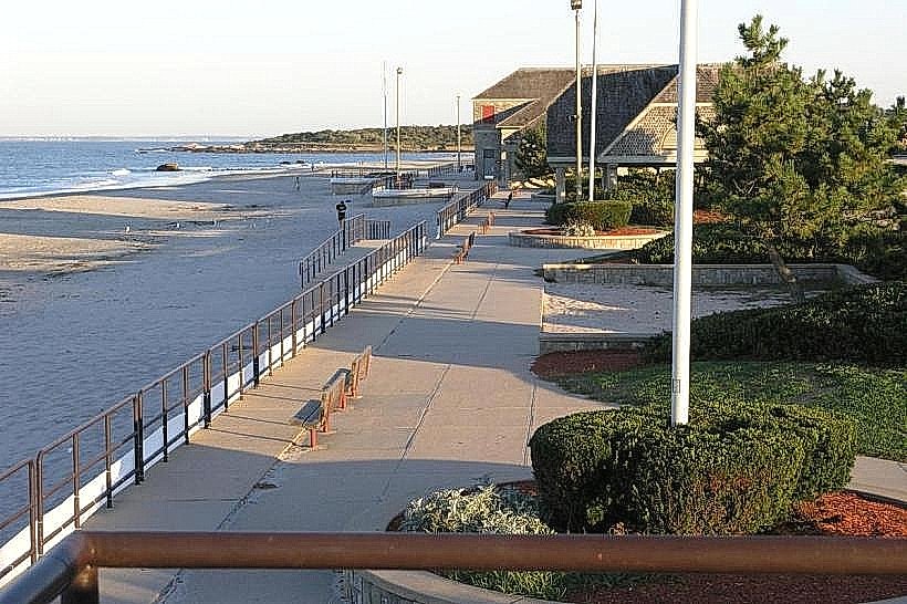
Salt Pond Bay is situated approximately 3 kilometers (1.8 miles) south of the Narragansett town center. Access is primarily via Moonstone Beach Road. Parking is available at a designated lot off Moonstone Beach Road, with capacity for approximately 50 vehicles. Public transport options are limited; the nearest bus stop for the RIPTA Route 64 is located over 1.5 kilometers (0.9 miles) from the bay.
Historical & Ecological Origin
Salt Pond Bay is a natural estuarine system formed by the inundation of coastal lowlands. Its ecological significance lies in its role as a nursery ground for various marine species and its function in coastal protection. The salt marshes are a result of tidal influence on terrestrial vegetation over geological time.
Key Highlights & Activities
Kayaking and paddleboarding are popular activities due to the calm, shallow waters. Birdwatching is also a primary activity, with numerous species of wading birds and waterfowl observed in the salt marshes. Fishing for species like striped bass and bluefish is permitted in designated areas. Access for small boats is available via a launch ramp near the parking area.
Infrastructure & Amenities
Restrooms are available at the Moonstone Beach Road parking lot. Limited shade is provided by natural vegetation along the shoreline. Cell phone signal (4G/5G) is generally available in the vicinity. No food vendors are located directly at the bay; visitors typically bring their own provisions.
Best Time to Visit
For calm water conditions suitable for paddling, early morning or late afternoon is recommended. The best months for comfortable weather and wildlife viewing are from May through September. Tidal charts should be consulted for optimal water levels for kayaking and exploring the marsh channels.
Facts & Legends
Salt Pond Bay is part of a larger system of coastal ponds in Narragansett that historically supported shellfishing. Local lore suggests that the bay was once a significant source of oysters for the indigenous Narragansett people.
Nearby Landmarks
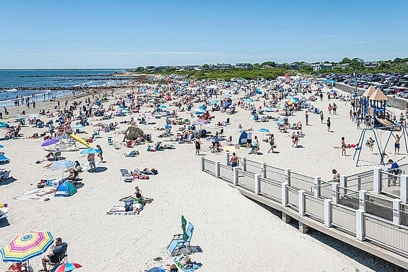
- Scarborough State Beach (1.2km Southwest)
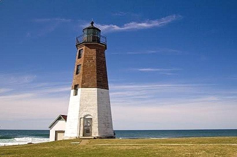
- Point Judith Lighthouse (3.5km Southeast)
- Fishermen's Memorial State Park (2.8km South)
- Narragansett Town Beach (4.0km Northwest)