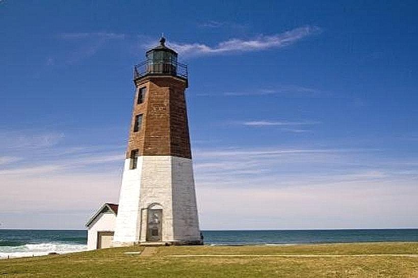
Landmark: Point Judith Lighthouse
City: Narragansett
Country: USA Rhode Island
Continent: North America
Point Judith Lighthouse, Narragansett, USA Rhode Island, North America
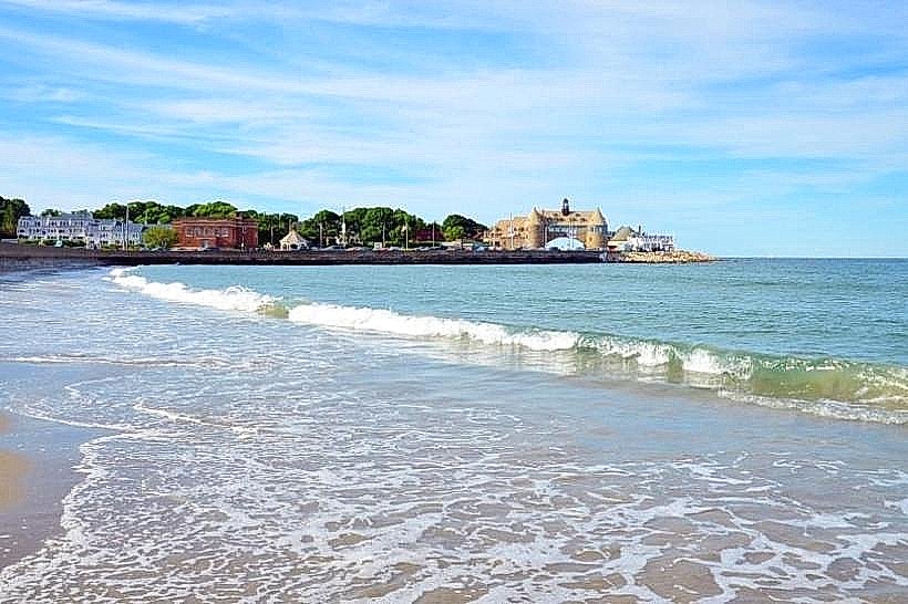
Point Judith Lighthouse is an active lighthouse located at the southern tip of Narragansett, Rhode Island. It marks the entrance to Narragansett Bay.
Visual Characteristics
The lighthouse structure is a conical tower constructed of granite blocks. It stands 55 feet (17 meters) tall. The tower is painted white, with a black lantern room and a red roof. A white dwelling is attached to the base of the tower.
Location & Access Logistics
Point Judith Lighthouse is situated at the end of Ocean Road in Narragansett, approximately 3 miles (4.8 km) south of the town center. Access is via Ocean Road. Public parking is available adjacent to the lighthouse grounds. The nearest public transportation is the RIPTA bus route 60, which stops at the intersection of Ocean Road and Galilee Road, a 0.5 mile (0.8 km) walk to the lighthouse.
Historical & Ecological Origin
The current lighthouse was constructed in 1810, replacing an earlier structure built in 1805. It was built by the U.S. Lighthouse Board. Its purpose is to guide maritime traffic into Narragansett Bay and warn vessels of the hazardous shoals in the vicinity.
Key Highlights & Activities
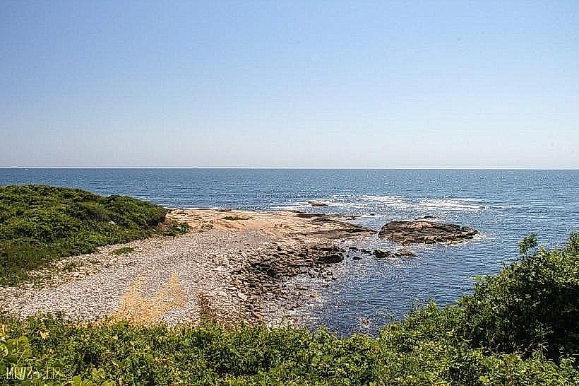
Visitors can observe the lighthouse structure and the surrounding coastal environment. The grounds offer views of Block Island Sound and the Atlantic Ocean. Photography of the lighthouse and the coastline is a primary activity. Access to the interior of the lighthouse is not permitted.
Infrastructure & Amenities
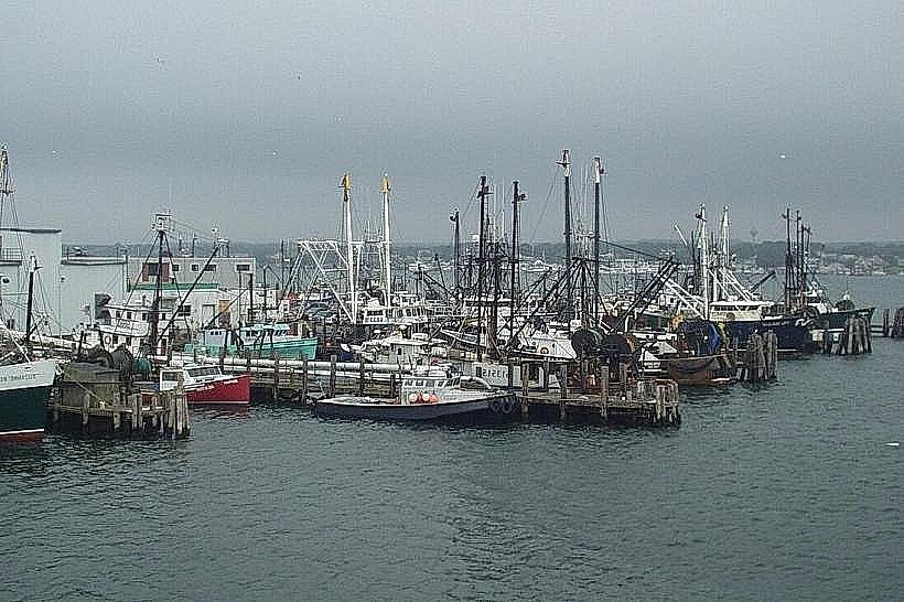
Restrooms are available on the grounds. Limited shade is provided by natural vegetation. Cell phone signal (4G/5G) is generally available. No food vendors are located directly on the lighthouse property; options are available in the nearby Galilee Fishing Village.
Best Time to Visit
For photography, the late afternoon provides favorable lighting conditions on the lighthouse. The months of May through October offer the most pleasant weather for visiting. High tide can enhance the visual impact of the waves crashing near the shore.
Facts & Legends
During World War II, the lighthouse was a critical observation post. A notable historical oddity is the lighthouse's original Fresnel lens, which was removed and is now on display at the South County Museum.
Nearby Landmarks
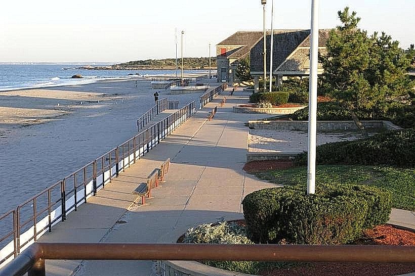
- Fisherman's Memorial State Park - 1.5km Northwest
- Galilee Fishing Village - 0.8km West
- Scarborough State Beach - 2.0km North
- Block Island Ferry Terminal - 0.8km West