Landmark: Buckskin Gulch
City: Kanab
Country: USA Utah
Continent: North America
Buckskin Gulch, Kanab, USA Utah, North America
Buckskin Gulch is a slot canyon located in southern Utah, USA, near the Arizona border.
It is recognized as one of the longest and narrowest slot canyons in the world.
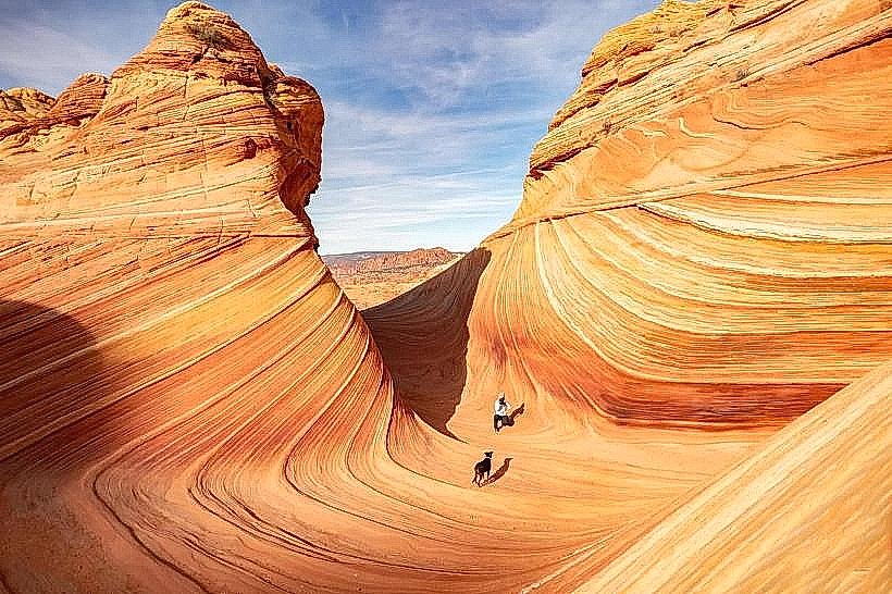
Visual Characteristics
The canyon walls are composed of Navajo Sandstone, exhibiting shades of red, orange, and tan. The walls can reach heights of over 100 feet, with widths narrowing to as little as 3 feet in some sections. The canyon floor is primarily sand and gravel, with occasional rockfall debris.
Location & Access Logistics
Access to Buckskin Gulch is via Wire Pass Trailhead. This trailhead is located approximately 45 miles west of Kanab, Utah, off Highway 89. The final 12 miles to the trailhead are on a graded dirt road (House Rock Valley Road), which can be impassable when wet. No public transport is available. Parking is available at the Wire Pass Trailhead, with a fee required. The trailhead is also the starting point for hiking into Buckskin Gulch.
Historical & Ecological Origin
Buckskin Gulch is a product of millions of years of water erosion, primarily from flash floods carving through the sandstone. It is part of the Paria Canyon-Vermilion Cliffs Wilderness, an area characterized by its dramatic geological formations.
Key Highlights & Activities
Hiking through the slot canyon is the primary activity. This involves navigating narrow passages, wading through water (depth varies seasonally and after rain), and scrambling over obstacles. The full length of Buckskin Gulch can be hiked, connecting to Wire Pass and eventually to the Paria River.
Infrastructure & Amenities
No facilities are present within Buckskin Gulch itself. The Wire Pass Trailhead has a small parking area and a vault toilet. Cell phone signal is unreliable to non-existent within the canyon and at the trailhead.
Best Time to Visit
The best time to visit is during the spring (April-May) and fall (September-October) to avoid extreme summer heat and winter cold. Flash flood risk is highest during monsoon season (July-September) and after significant rainfall. Early morning or late afternoon provides optimal lighting for photography due to the narrowness of the canyon.
Facts & Legends
Buckskin Gulch is known for its challenging and potentially dangerous conditions due to flash floods. Hikers must check weather forecasts and be aware of potential water levels. The canyon is a popular destination for experienced canyoneers and hikers seeking a remote wilderness experience.
Nearby Landmarks
- Wire Pass Trailhead (0km)
- White Pocket (15km Southwest)
- The Wave (20km Southwest - requires permit)
- Alstrom Point (30km Northwest)
- Paria Canyon (35km Southeast)