Landmark: Cedar Breaks National Monument
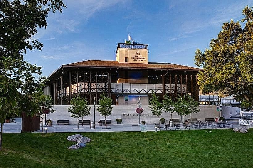
City: Cedar City
Country: USA Utah
Continent: North America
Cedar Breaks National Monument, Cedar City, USA Utah, North America
Cedar Breaks National Monument is a geological amphitheater located in southwestern Utah, USA.
It is situated approximately 25 miles northeast of Cedar City.
Visual Characteristics
The monument features a large, eroded amphitheater with a depth of approximately 1,000 to 2,000 feet. The exposed rock layers display a range of colors including reds, oranges, yellows, and purples, formed by iron oxides and other minerals. Hoodoos, which are tall, thin spires of rock, are prominent formations within the amphitheater. The rim of the amphitheater is forested with subalpine trees such as Engelmann spruce, subalpine fir, and bristlecone pine.
Location & Access Logistics
Access to Cedar Breaks National Monument is via State Route 14, which connects to Interstate 15 at Exit 59 in Cedar City. The monument entrance is approximately 25 miles east of Cedar City on SR-14. During the winter months (typically November through May), SR-14 is closed at the monument boundary due to snow, limiting access. Parking is available at designated pull-offs and visitor centers along the scenic drive. Public transportation is not available to the monument; private vehicle is required.
Historical & Ecological Origin
Cedar Breaks is a product of geological erosion, primarily by water and ice, acting on ancient sedimentary rock layers. The exposed rock strata date back to the Cretaceous period, approximately 130 to 65 million years ago. The area is classified as a badlands formation, characterized by steep slopes and minimal vegetation. The bristlecone pines found at higher elevations are among the oldest living organisms on Earth.
Key Highlights & Activities
Hiking trails are available along the rim, including the 2-mile paved Spectra Point Trail and the 2.5-mile moderate Point Supreme Trail. Ranger-led programs are offered during the summer season. Stargazing is a significant activity due to the dark night skies; the monument is an International Dark Sky Park. Photography is possible from multiple viewpoints along the scenic drive.
Infrastructure & Amenities
Restrooms are available at the main visitor center and at designated viewpoints. Shade is limited to forested areas and structures. Cell phone signal is generally weak to non-existent within the monument. No food vendors are present within the monument; visitors should bring their own provisions.
Best Time to Visit
The best months to visit are July through September when SR-14 is fully open and weather conditions are most favorable. Mid-morning and late afternoon offer optimal lighting for photography of the colorful rock formations. Wildflowers are typically most abundant in July.
Facts & Legends
The Paiute people, who historically inhabited the region, referred to Cedar Breaks as "Grand Canyon of the Little God." Local lore suggests that the hoodoos were once people turned to stone by a powerful spirit.
Nearby Landmarks
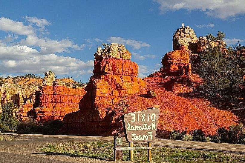
- Dixie National Forest (Adjacent, North)
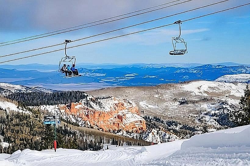
- Brian Head Ski Resort (8km Northwest)
- Zion National Park (Approximately 50km Southeast)
- Cedar City (25km Southwest)
- Kolob Canyons (Part of Zion National Park, 30km West)