Landmark: Parowan Gap Petroglyphs
City: Cedar City
Country: USA Utah
Continent: North America
Parowan Gap Petroglyphs, Cedar City, USA Utah, North America
The Parowan Gap Petroglyphs are an extensive collection of ancient rock carvings located in Iron County, Utah, approximately 25 miles north of Cedar City.
Visual Characteristics
The petroglyphs are etched into the surface of a large, prominent sandstone rock formation. The rock itself is a light tan to reddish-brown color, exhibiting natural weathering patterns. The carvings, created by Native American peoples, depict a variety of figures including human-like forms, animals (such as bighorn sheep and deer), and abstract geometric shapes. The depth and clarity of the etchings vary depending on the specific location on the rock face and the original technique used.
Location & Access Logistics
Access to the Parowan Gap Petroglyphs is via State Route 130 (Gap Road) from Parowan, Utah. The site is approximately 15 miles west of Parowan. The road is paved for most of the route, with a short gravel section closer to the petroglyph site. Parking is available in a designated lot adjacent to the rock formation. There are no public transport options directly serving the site.
Historical & Ecological Origin
The petroglyphs are attributed to the Ancestral Puebloans and possibly the Fremont culture, with dating estimates ranging from 1000 to 2000 years old. The exact purpose of the carvings is not definitively known, but theories include astronomical observations, religious or ceremonial significance, or territorial markers. The geological formation is part of the Basin and Range Province, characterized by fault-block mountains and valleys.
Key Highlights & Activities
Visitors can observe the petroglyphs by walking along the base of the rock formation. Interpretive signs are present to provide context. The site is suitable for photography, particularly during specific times of day for optimal lighting. Hiking trails are not formally established at the immediate petroglyph site, but the surrounding area offers opportunities for exploration.
Infrastructure & Amenities
Restrooms are available at the site. Shade structures are present in the picnic area. Cell phone signal (4G/5G) is generally unreliable at the petroglyph site. No food vendors are located directly at the site; visitors should bring their own provisions.
Best Time to Visit
For photography, early morning or late afternoon light provides the best contrast for viewing the petroglyphs. The months of April through October generally offer the most favorable weather conditions, with milder temperatures. No tide considerations are applicable.
Facts & Legends
One notable feature of the Parowan Gap is its alignment with astronomical events. The "Sun Dance" petroglyph is believed to have been used to track the summer solstice, with sunlight illuminating specific carvings on that day. Local Paiute legends speak of the spirits of ancient people residing within the rock formations.
Nearby Landmarks
- Cedar Breaks National Monument (30km Southwest)
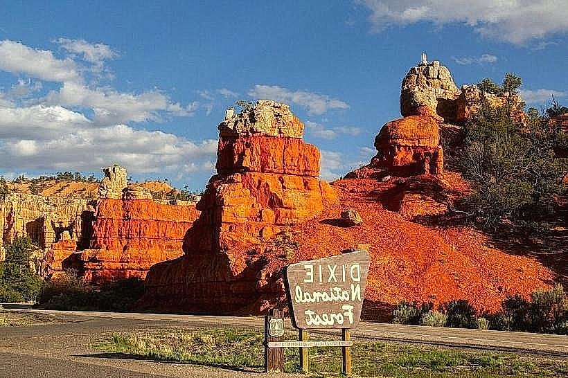
- Dixie National Forest (Adjacent)
- Old Iron Town (10km West)
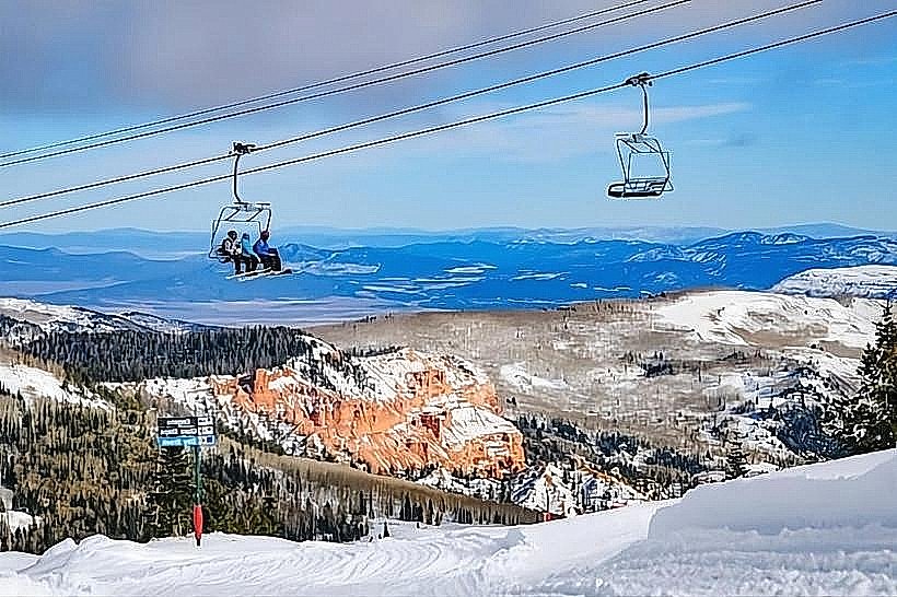
- Brian Head Ski Resort (40km Southwest)
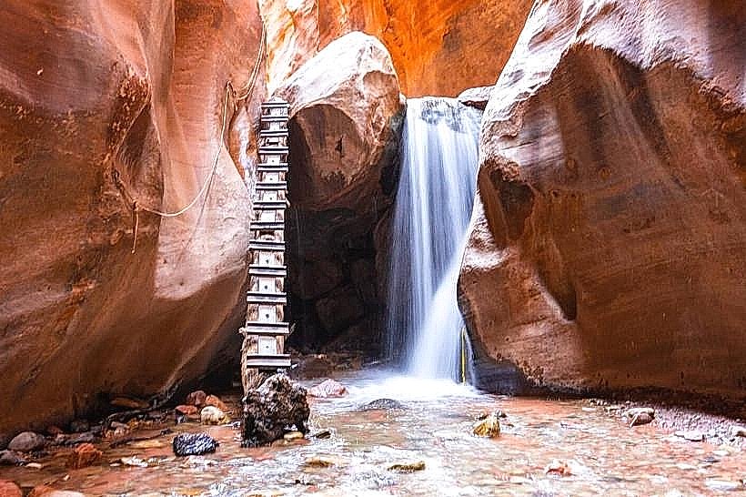
- Kolob Canyons (Zion National Park) (60km Southwest)