Landmark: Cerro Colorado
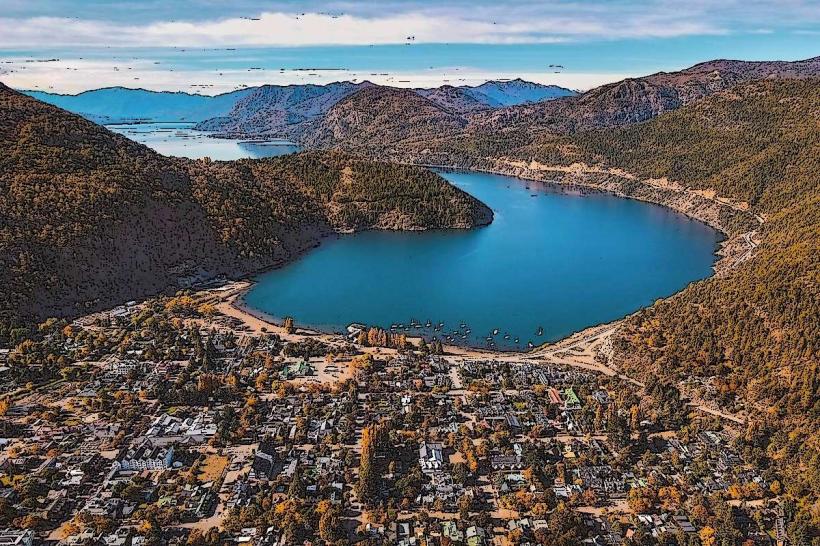
City: Neuquen
Country: Argentina
Continent: South America
Cerro Colorado, Neuquen, Argentina, South America
Cerro Colorado is a geological formation located in the city of Neuquén, Argentina. It is a prominent hill within the urban landscape.
Visual Characteristics
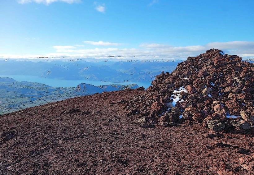
The formation consists of sedimentary rock layers, primarily composed of sandstone and claystone. The exposed surfaces exhibit varied coloration, ranging from ochre and red to pale brown, influenced by mineral content. The topography is characterized by eroded slopes and distinct stratifications, with a maximum elevation of approximately 150 meters above the surrounding plain.
Location & Access Logistics
Cerro Colorado is situated approximately 3 kilometers west of the Neuquén city center. Access is primarily via Avenida Argentina, turning west onto Calle Elordi, which leads to the base of the formation. Limited on-street parking is available at the base. Public transport options include bus lines 1, 5, and 12, which stop within a 500-meter radius of the main access points.
Historical & Ecological Origin
The geological origin of Cerro Colorado dates back to the Tertiary period, formed by the deposition and subsequent erosion of fluvial and lacustrine sediments. It represents a remnant of ancient river deltas and floodplains. Ecologically, it supports arid and semi-arid vegetation adapted to the Patagonian steppe environment.
Key Highlights & Activities
Hiking trails are present on the slopes, offering viewpoints over the city and the Neuquen-river_neuquen" class="underline">Neuquén River valley. Observation points are marked at specific elevations. Geological strata are visible for study. Birdwatching is possible, with species adapted to the local flora.
Infrastructure & Amenities
Basic amenities are limited. There are no dedicated restrooms or food vendors directly at Cerro Colorado. Shade is minimal, provided only by sparse native vegetation. Cell phone signal (4G/5G) is generally available in most areas of the formation.
Best Time to Visit
For optimal lighting conditions for photography, early morning (07:00-09:00) and late afternoon (17:00-19:00) are recommended, particularly during spring and autumn. The most favorable months for visiting are September to November and March to May, avoiding the extreme temperatures of summer and winter. No tide considerations apply.
Facts & Legends
Local folklore suggests that the red coloration of the rocks is due to the blood of ancient giants who battled on the hill. Geologically, the color is attributed to iron oxides within the sedimentary layers.
Nearby Landmarks
- Parque Central (1.5km East)
- Museo Histórico Provincial "Dr. Gregorio Álvarez" (2.0km East)
- Catedral de Neuquén (2.5km East)
- Monumento a San Martín (2.8km East)