Landmark: Neuquén River
City: Neuquen
Country: Argentina
Continent: South America
Neuquén River, Neuquen, Argentina, South America
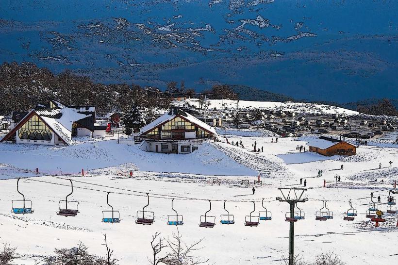
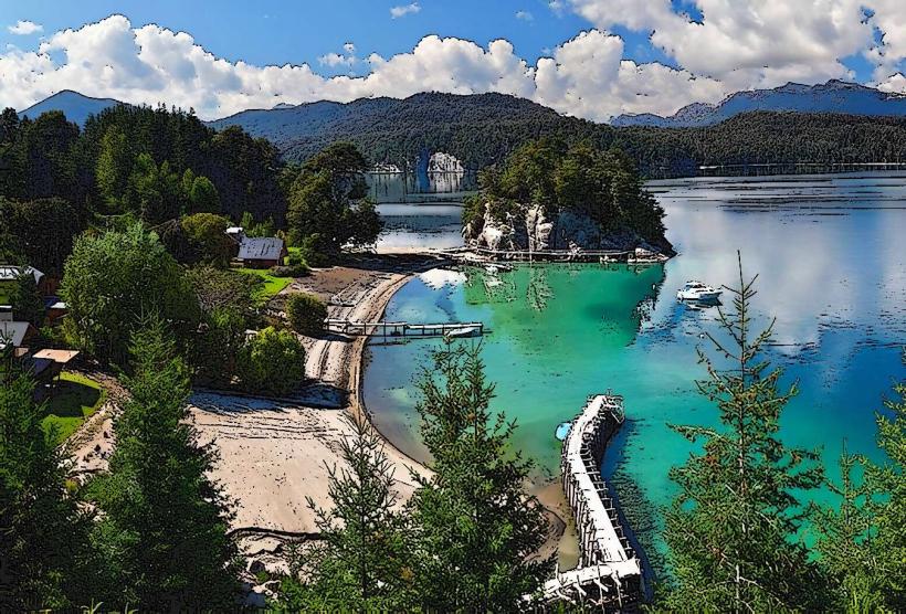
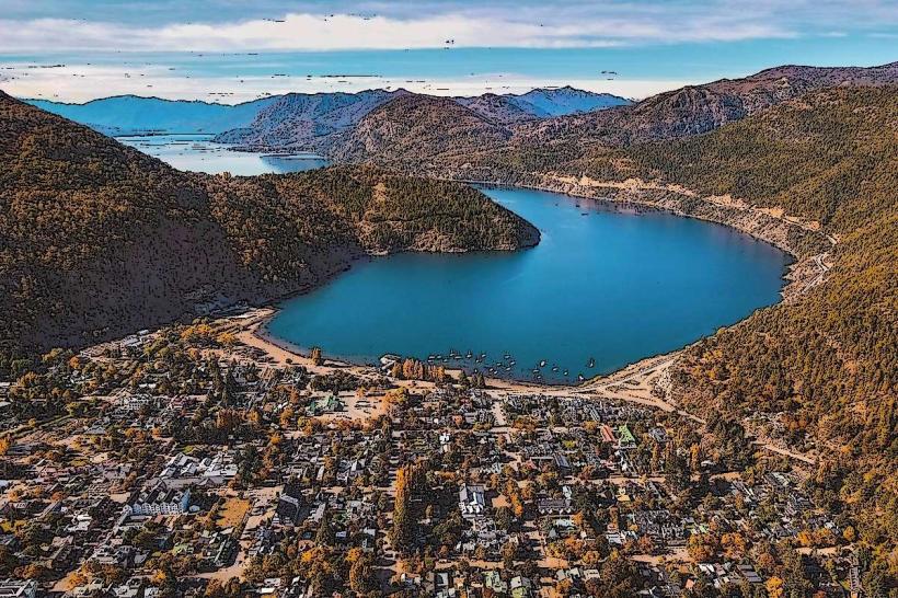
The Neuquén River is a significant fluvial system in the Argentine Patagonia region, flowing through the province of Neuquén.
It is a primary tributary of the Río Negro.
Visual Characteristics
The river exhibits a variable width, typically ranging from 100 to 300 meters. Water color is generally a muddy brown, influenced by sediment load, particularly after rainfall events in its watershed. The riverbanks are characterized by alluvial deposits and sparse, drought-resistant vegetation such as shrubs and grasses. In urban areas, concrete embankments and artificial structures are present.
Location & Access Logistics
The Neuquén River flows through the city of Neuquén, Argentina. Access points within the city are numerous, with roads like Avenida Olasco and Avenida San Juan running parallel to its course. Parking is available along these avenues and in designated lots near public parks. Public transport within the city, including bus lines 1, 2, 3, 4, and 5, provides access to areas adjacent to the river.
Historical & Ecological Origin
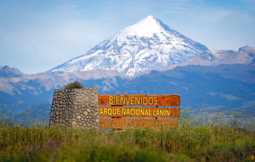
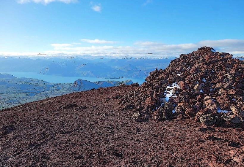
The Neuquén River originates from the confluence of the Agrio and Malleo rivers in the Andes Mountains. Its geological origin is tied to glacial meltwater and Andean precipitation, carving its path through sedimentary rock formations over millennia. Historically, it has been a vital water source for indigenous populations and later for agricultural development in the region.
Key Highlights & Activities
Fishing for species such as pejerrey and trucha is a common activity. Kayaking and small boat navigation are possible in calmer sections. Walking and cycling along the riverfront paths are available. Birdwatching is also a notable activity due to the presence of various waterfowl.
Infrastructure & Amenities
Within the city of Neuquén, amenities include paved walkways, public seating, and some shaded areas provided by trees. Restrooms are available in public parks along the river. Cell phone signal (4G/5G) is generally consistent in urban areas. Food vendors and small cafes are located in proximity to parks and access points.
Best Time to Visit
For photography, early morning and late afternoon offer optimal lighting conditions with softer shadows. The best months for outdoor activities are typically from September to April, avoiding the harshest winter conditions. Water levels can fluctuate, but generally, navigation is feasible year-round, though currents may be stronger during spring melt.
Facts & Legends
A local legend speaks of a mythical river spirit that protects the waters, said to appear to those who show respect for the environment. Historically, the river served as a natural boundary and a route for early explorers and settlers in Patagonia.
Nearby Landmarks
- Parque Central (0.8km West)
- Museo Histórico Provincial "Ernesto Bachmann" (1.2km Southwest)
- Monumento a San Martín (1.5km West)
- Catedral de Neuquén (1.8km West)
- Balneario Municipal (2.5km South)