Landmark: Cerro Punta
City: Boquete
Country: Panama
Continent: North America
Cerro Punta, Boquete, Panama, North America
Cerro Punta is a highland agricultural community situated in the western highlands of Panama, within the Chiriquí Province.
Visual Characteristics
The landscape is characterized by rolling hills and steep slopes covered in agricultural terraces. Dominant vegetation includes coffee plants, strawberries, and various temperate climate flora. The soil is dark and rich. Structures are primarily low-rise, constructed from concrete, wood, and corrugated metal, often painted in muted earth tones or white.
Location & Access Logistics
Cerro Punta is located approximately 45 kilometers north of David, the provincial capital. Access is via the Pan-American Highway (Route 1) to the turnoff for Boquete, then continuing on Provincial Route 41. The final 20 kilometers to Cerro Punta are on a paved, winding mountain road. Parking is available in designated areas near the town center and at some agricultural farms. Public transport options include local buses originating from David that travel to Boquete, with onward connections to Cerro Punta.
Historical & Ecological Origin
The area's agricultural development began in the early 20th century, attracting settlers drawn to the fertile volcanic soil and cool climate. Ecologically, Cerro Punta is situated within the Talamancan montane forests ecoregion, characterized by high biodiversity and cloud forest ecosystems.
Key Highlights & Activities
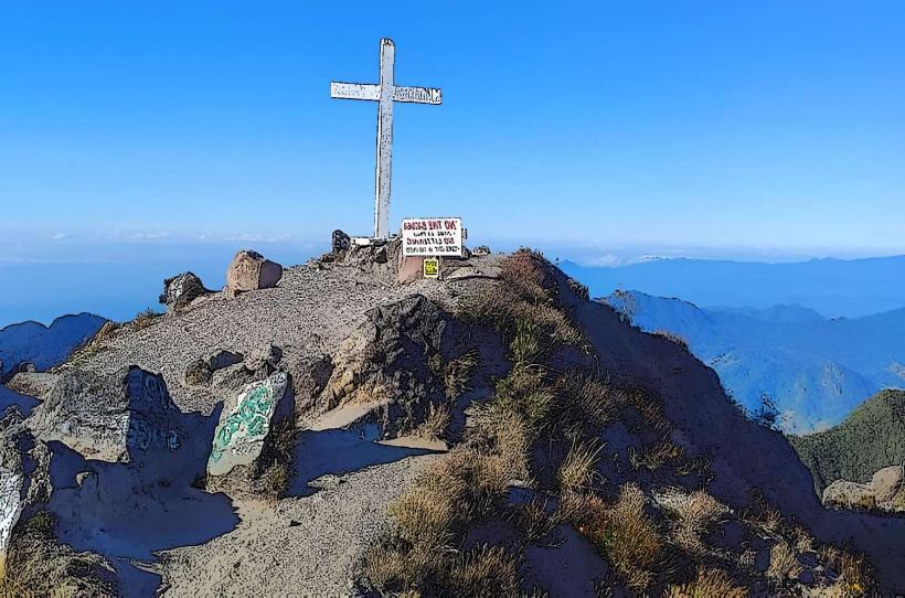
Activities include visiting local coffee plantations for tours and tastings, exploring the Los Quetzales National Park for birdwatching (particularly the Resplendent Quetzal), and hiking trails such as the Sendero Los Quetzales. The weekly farmers' market offers local produce and crafts.
Infrastructure & Amenities
Basic infrastructure includes a small town center with a few general stores and restaurants. Restrooms are available at some tourist facilities and restaurants. Shade is provided by trees and building overhangs. Cell phone signal (4G) is generally available in the town center but can be intermittent in more remote areas. Food vendors are primarily located at the farmers' market and in the town's eateries.
Best Time to Visit
The dry season, from December to April, offers the most stable weather for outdoor activities. The best time of day for photography is generally mid-morning or late afternoon when the sunlight is less direct. Birdwatching is most productive during the early morning hours.
Facts & Legends
The region is known for its high-altitude strawberries, which are a significant local crop. A local legend speaks of ancient indigenous burial grounds in the surrounding hills, though these have not been definitively located.
Nearby Landmarks
- Boquete (18km Southwest)
- Volcán Barú National Park (10km Southwest)
- David (45km Southwest)
- Boca del Drago (90km Northwest)
- Isla Colón (95km Northwest)