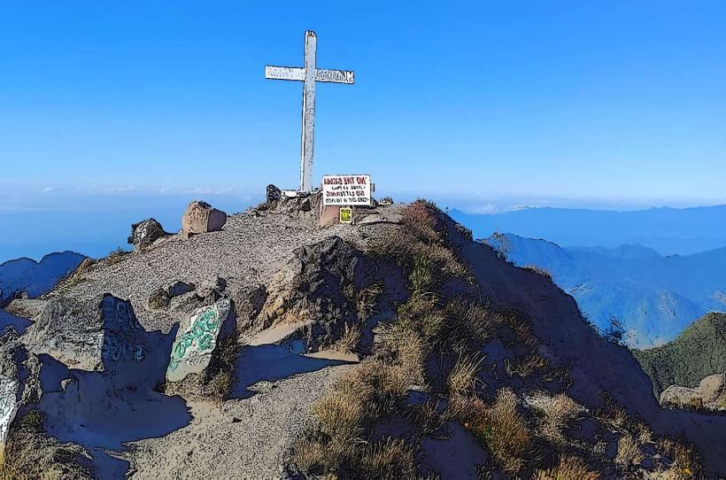
Landmark: Volcán Barú
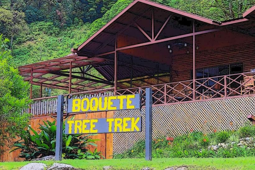
City: Boquete
Country: Panama
Continent: North America
Volcán Barú, Boquete, Panama, North America
Volcán Barú is the highest point in Panama, situated near the town of Boquete in the Chiriquí Province.
This stratovolcano is the westernmost and highest peak in the Central American Cordillera, forming the continental divide.
Visual Characteristics
The volcano's summit is a caldera with two distinct peaks. The slopes are covered in dense cloud forest vegetation, characterized by mosses, ferns, and a variety of trees. The summit area can experience frequent cloud cover, obscuring visibility. The rock composition is primarily volcanic basalt.
Location & Access Logistics
Volcán Barú National Park is located approximately 35 kilometers west of David, the provincial capital. Access to the park entrance is via the paved Boquete-Volcán highway (Route 41). From Boquete, drive west towards Volcán town, then turn north onto the well-marked road leading to the park entrance. The final 8 kilometers to the summit are a rough, unpaved track suitable for 4x4 vehicles only. Standard vehicles can park at the park entrance and hike the remaining distance or arrange for a local 4x4 taxi service. Public transport to the park entrance is limited; buses run from David to Boquete and Volcán, but a taxi or private vehicle is required for the final ascent.
Historical & Ecological Origin
Volcán Barú is a dormant stratovolcano. Its last known eruption occurred approximately 500 years ago. The volcano is part of the Central American Volcanic Arc. Ecologically, it is a critical habitat for numerous endemic species due to its high altitude and unique microclimates, supporting cloud forest ecosystems.
Key Highlights & Activities
Hiking to the summit is the primary activity. The trail to the summit is approximately 12 kilometers round trip from the park entrance. Visitors can observe the continental divide at the summit, where it is possible to see both the Pacific Ocean and the Caribbean Sea on clear days. Birdwatching is a significant activity, with opportunities to spot the Resplendent Quetzal. Camping is permitted in designated areas within the national park.
Infrastructure & Amenities
Basic facilities are available at the national park entrance, including restrooms and a small visitor center. There are no food vendors within the park. Cell phone signal is intermittent and generally unavailable at higher elevations. Shade is provided by the dense forest canopy on the lower slopes, but the summit area is exposed.
Best Time to Visit
The best time of day for summit views is typically between 5:00 AM and 8:00 AM, before cloud cover typically forms. The dry season, from December to April, offers the clearest conditions. High tide is not a relevant factor for this inland volcano. The months of January and February generally provide the most consistent clear skies.
Facts & Legends
It is said that on exceptionally clear days, one can see both the Pacific and Caribbean coastlines simultaneously from the summit. Local folklore suggests that the volcano is sleeping and could awaken, though geological assessments indicate it is dormant.
Nearby Landmarks
- Boquete town center (15km Southeast)
- Volcán town (10km Southwest)
- La Fortuna Waterfall (20km Northeast)
- Cerro Punta (25km West)
- David City Center (35km Southeast)