Landmark: Río Caldera
City: Boquete
Country: Panama
Continent: North America
Río Caldera, Boquete, Panama, North America
Río Caldera is a river located in the highlands of Boquete, Panama. It is a significant water source and recreational area for the region.
Visual Characteristics
The riverbed consists of smooth, rounded stones and gravel. Water clarity varies, often appearing clear to slightly turbid depending on recent rainfall. The banks are lined with dense, green vegetation, including ferns, mosses, and various tropical trees. The river flows through a series of cascades and pools, with an average width of 5-10 meters.
Location & Access Logistics
Río Caldera is situated approximately 3 kilometers east of Boquete's central park. Access is primarily via the paved road leading to Alto Boquete, specifically the turn-off for the Caldera Bridge. Parking is available in designated informal pull-offs along the road adjacent to the river. Public transport options are limited; local taxis or private vehicles are the most direct means of access.
Historical & Ecological Origin
The river is a natural waterway formed by the erosion of volcanic rock from the surrounding Talamanca Mountains. Its ecological origin is tied to the cloud forest ecosystem, supporting a diverse range of flora and fauna adapted to high humidity and moderate temperatures.
Key Highlights & Activities
Activities include wading and swimming in designated calmer sections, particularly during drier months. Hiking along the riverbanks is possible, though trails are not formally maintained. Birdwatching is a common activity due to the riparian habitat.
Infrastructure & Amenities
There are no formal amenities directly at Río Caldera. Restrooms are not available. Shade is provided by the natural tree canopy. Cell phone signal (4G/5G) is generally weak to non-existent in the immediate vicinity of the river.
Best Time to Visit
The best time of day for photography is mid-morning to early afternoon when sunlight penetrates the canopy. The driest months, generally from December to April, offer the most stable water levels and clearest conditions. Avoid visiting immediately after heavy rainfall due to increased turbidity and potential flash flood risks.
Facts & Legends
Local folklore suggests that the river's waters possess mild healing properties, a belief often attributed to the mineral content from the volcanic soil. A specific tip for visitors is to wear sturdy, water-resistant footwear due to the uneven and often slippery riverbed.
Nearby Landmarks
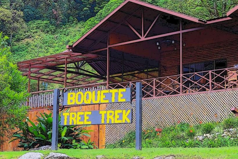
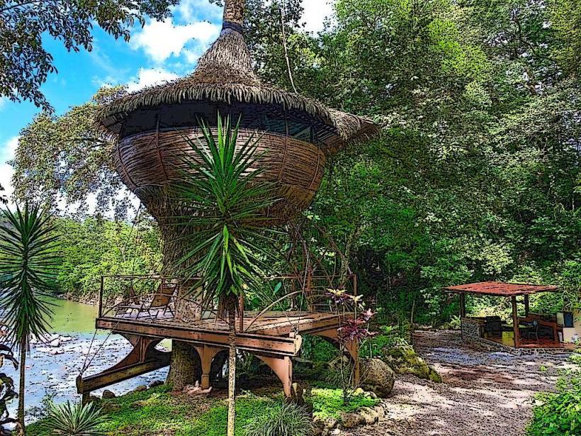
- Boquete Tree Trek (2.5km West)
- Boquete Historical Museum (3.0km West)
- Volcán Barú National Park Entrance (10.0km Southwest)
- Finca Lerida Coffee Plantation (4.0km Northwest)