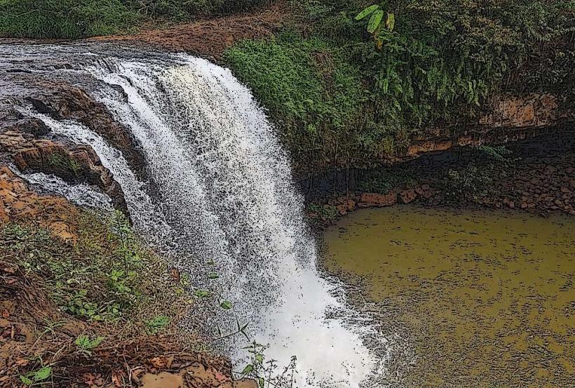
Landmark: Cha Ong Waterfall
City: Ratanakiri
Country: Cambodia
Continent: Asia
Cha Ong Waterfall, Ratanakiri, Cambodia, Asia
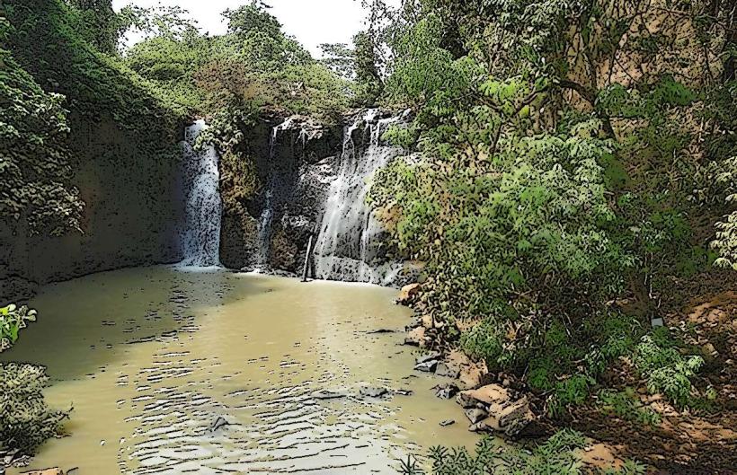
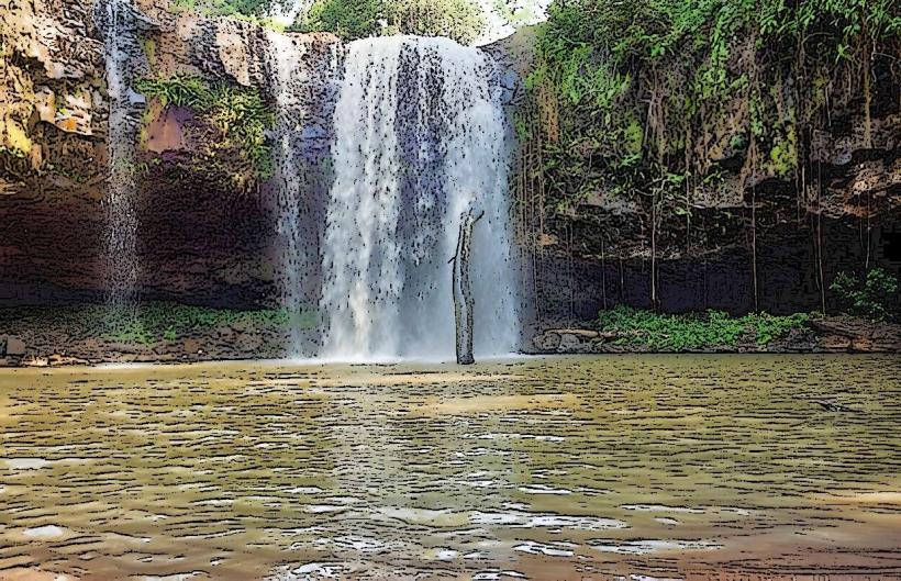
Cha Ong Waterfall is a natural cascade located in Ratanakiri Province, Cambodia. It is situated approximately 15 kilometers from Banlung, the provincial capital.
Visual Characteristics
The waterfall features a series of tiered rock formations over which water flows. The primary drop is approximately 7 meters in height. The surrounding vegetation is dense tropical forest, with the water appearing clear to light brown depending on recent rainfall. The rock is primarily basaltic.
Location & Access Logistics
Access is via National Road 76 east from Banlung for approximately 12 kilometers, then turning north onto a dirt track. The dirt track is approximately 3 kilometers long and can be challenging for standard vehicles, especially during the wet season. A 4x4 vehicle or motorcycle is recommended. Parking is available at the end of the track, with a short walking path to the waterfall base. No public transport directly serves the site.
Historical & Ecological Origin
Cha Ong Waterfall is a natural geological formation, part of the volcanic landscape of Ratanakiri Province. The basaltic rock indicates past volcanic activity in the region. The waterfall's current form is shaped by erosion over millennia.
Key Highlights & Activities
Swimming is possible in the pool at the base of the waterfall during drier periods. Observation of the water flow and surrounding forest is the primary activity. The area is suitable for short nature walks along the stream.
Infrastructure & Amenities
There are no permanent facilities at Cha Ong Waterfall. Basic shade is provided by the surrounding trees. Cell phone signal is unreliable. No food vendors are present at the site; visitors should bring their own supplies.
Best Time to Visit
The best time for photography is during the late morning when sunlight can penetrate the canopy. The dry season, from November to April, offers lower water flow and more accessible paths. During the wet season (May to October), the waterfall is more powerful but access can be difficult.
Facts & Legends
Local folklore suggests that the waterfall is a sacred site, and offerings are sometimes left by villagers. A specific tip for visitors is to wear appropriate footwear for slippery rocks, especially if planning to approach the water's edge.
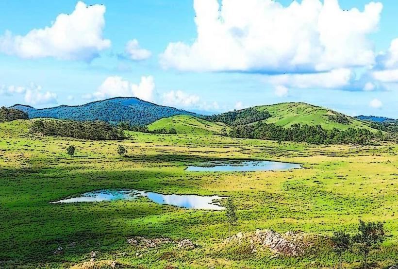
Nearby Landmarks
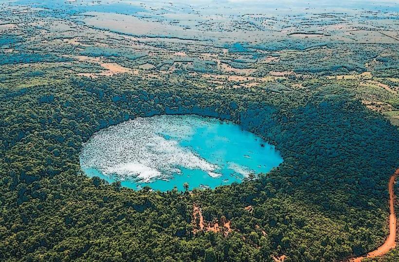
- Yeak Laom Volcanic Lake (4.5km Southwest)
- Kachang Waterfall (6.2km Northeast)
- Ratanakiri Provincial Museum (15.1km West)