Landmark: Virachey National Park
City: Ratanakiri
Country: Cambodia
Continent: Asia
Virachey National Park, Ratanakiri, Cambodia, Asia
Virachey National Park is a protected area located in the northeastern province of Ratanakiri, Cambodia. It is the largest national park in Cambodia.
Visual Characteristics
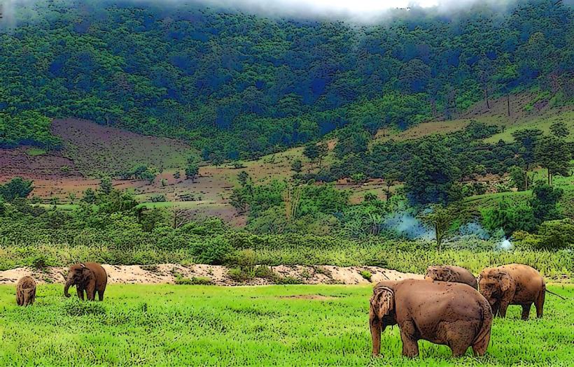
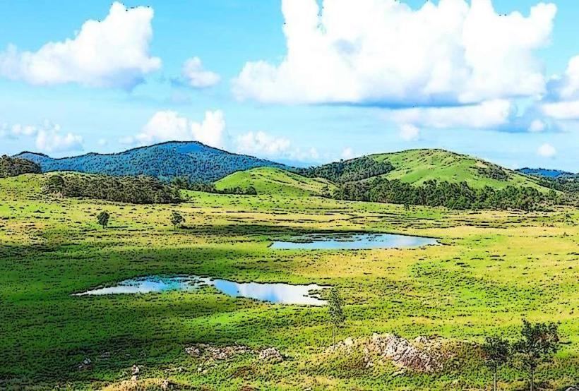
The park is characterized by dense evergreen and deciduous forests, mountainous terrain, and numerous rivers and streams. Elevation ranges from approximately 200 meters to over 1,500 meters. The vegetation is thick, with a canopy that limits ground-level light penetration in many areas. Rock formations are primarily sedimentary and metamorphic.
Location & Access Logistics
Virachey National Park is situated in Ratanakiri Province, approximately 600 kilometers northeast of Phnom Penh. Access to the park's main entrance near the town of Ban Lung is via National Road 76. From Ban Lung, local transport such as motorbikes or 4x4 vehicles is required to reach trailheads. There is no public transport directly into the park. Limited parking is available at designated ranger stations.
Historical & Ecological Origin
Virachey National Park was established in 1993. It is classified as a protected area under Cambodia's forestry law. Ecologically, it is part of the Annamite Range ecoregion, supporting a high level of biodiversity, including several endangered species. The area has historically been inhabited by indigenous minority groups.
Key Highlights & Activities
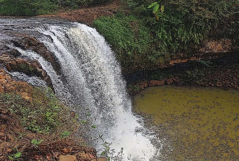
Trekking and multi-day expeditions are the primary activities. Specific trails lead to waterfalls, viewpoints, and through primary forest. Wildlife observation is possible, though sightings are not guaranteed due to dense cover. Visiting indigenous villages requires prior arrangement and respect for local customs. Kayaking on the Tonle San river is an option in certain sections.
Infrastructure & Amenities
Basic facilities are limited to ranger stations at the park's periphery, which may offer rudimentary accommodation. Restrooms are generally not available on trails. Shade is abundant within the forest canopy. Cell phone signal is unreliable to non-existent within the park boundaries. Food vendors are located in Ban Lung, but not within the park itself.
Best Time to Visit
The dry season, from November to April, offers the most favorable conditions for trekking, with reduced rainfall and lower river levels. The wet season (May to October) sees increased humidity, heavier rain, and potentially impassable trails. For photography, early morning and late afternoon light can penetrate the canopy in clearings.
Facts & Legends
Local folklore speaks of forest spirits and guardians within Virachey. A specific point of interest for some visitors is the search for rare bird species, such as the Chestnut-headed Partridge, which is endemic to the region.
Nearby Landmarks
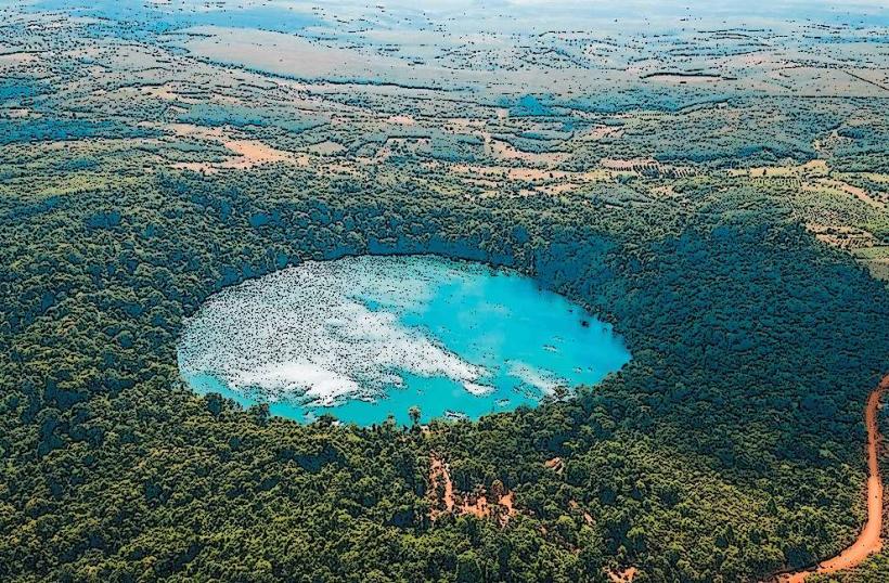
- Yeak Laom Volcanic Lake (3km Southwest)
- Ban Lung Town (5km Southwest)
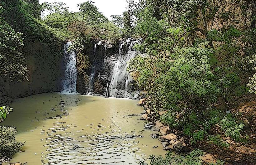
- Kachanh Waterfall (7km Southwest)
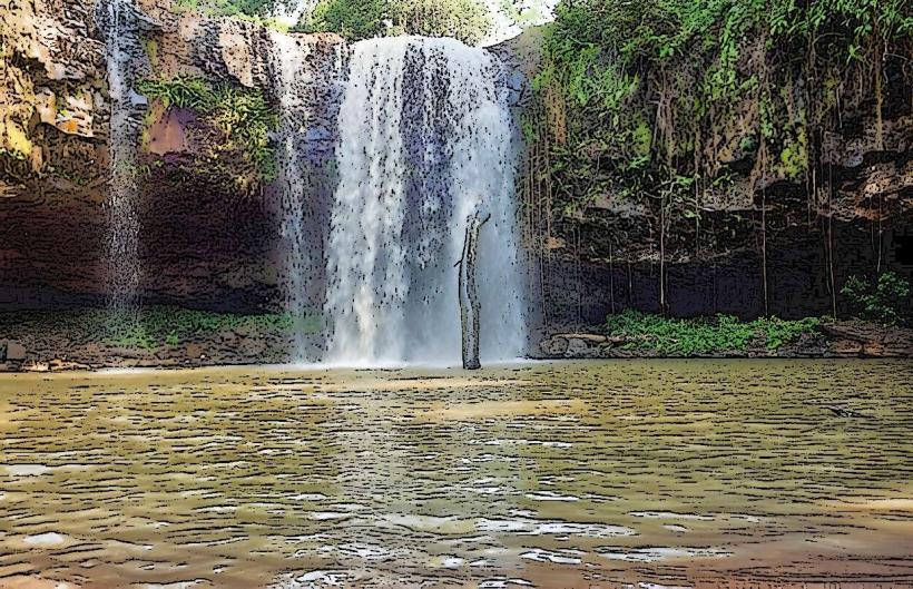
- Kachon Waterfall (10km Southeast)