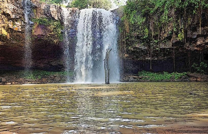
Landmark: Ka Tieng Waterfall
City: Ratanakiri
Country: Cambodia
Continent: Asia
Ka Tieng Waterfall, Ratanakiri, Cambodia, Asia
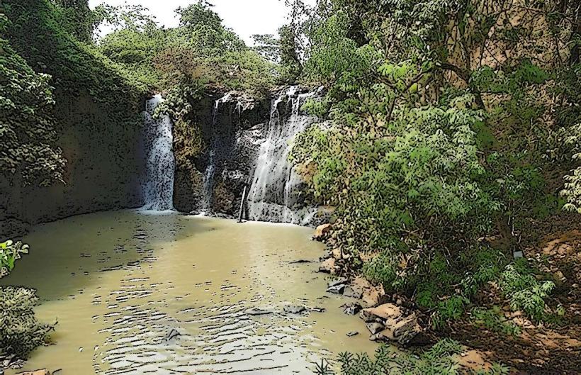
Ka Tieng Waterfall is a cascade located in Ratanakiri Province, Cambodia. It is situated approximately 7 kilometers from Banlung, the provincial capital.
Visual Characteristics
The waterfall features a series of tiered rock formations over which water flows. The primary drop is approximately 10 meters in height. The surrounding vegetation is dense jungle, with large trees and undergrowth. The water color is typically clear to slightly brown, depending on recent rainfall.
Location & Access Logistics
To reach Ka Tieng Waterfall from Banlung, take National Road 78 east for approximately 5 kilometers. Turn north onto a dirt road marked with signage for the waterfall. This dirt road is approximately 2 kilometers long and can be rough, particularly during the wet season. A 4WD vehicle is recommended. Parking is available at the base of the waterfall site. There are no direct public transport routes to the waterfall; local taxis or motorbike taxis from Banlung are the primary options.
Historical & Ecological Origin
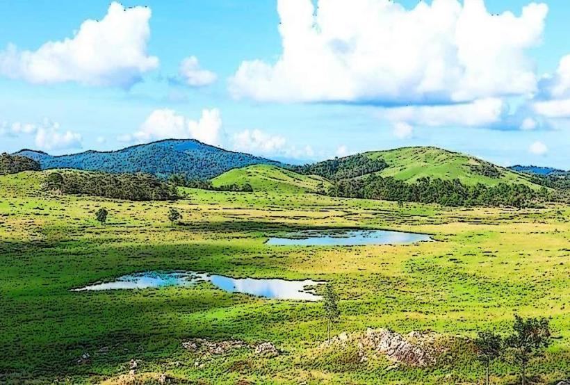
Ka Tieng Waterfall is a natural geological formation, part of the Ratanakiri Plateau. The plateau is characterized by volcanic soil and ancient rock formations. The waterfall's current form is a result of natural erosion and water flow over millennia.
Key Highlights & Activities
Visitors can observe the waterfall from the base. Swimming is possible in the pool at the bottom of the main cascade during drier periods. Hiking trails are present around the waterfall area, providing access to different viewpoints. Local guides can be hired at the entrance to the site.
Infrastructure & Amenities
Basic facilities are available at the waterfall site, including a small number of food and drink vendors. Restrooms are present. Shade is provided by the surrounding jungle canopy. Cell phone signal is intermittent.
Best Time to Visit
The best time of day for photography is generally mid-morning to early afternoon, when sunlight can penetrate the canopy. The dry season, from November to April, offers the most accessible conditions and clearer water. During the wet season (May to October), the water flow is significantly higher, making the waterfall more powerful but potentially more difficult to access and swim.
Facts & Legends
Local folklore suggests that the waterfall is inhabited by spirits. A specific tip for visitors is to wear sturdy footwear, as the rocks can be slippery, especially near the water's edge.
Nearby Landmarks
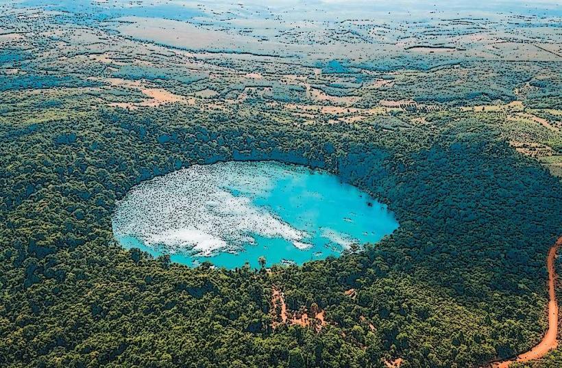
- Yeak Laom Volcanic Lake (2.5km Southwest)
- Kachanh Waterfall (4km Northeast)
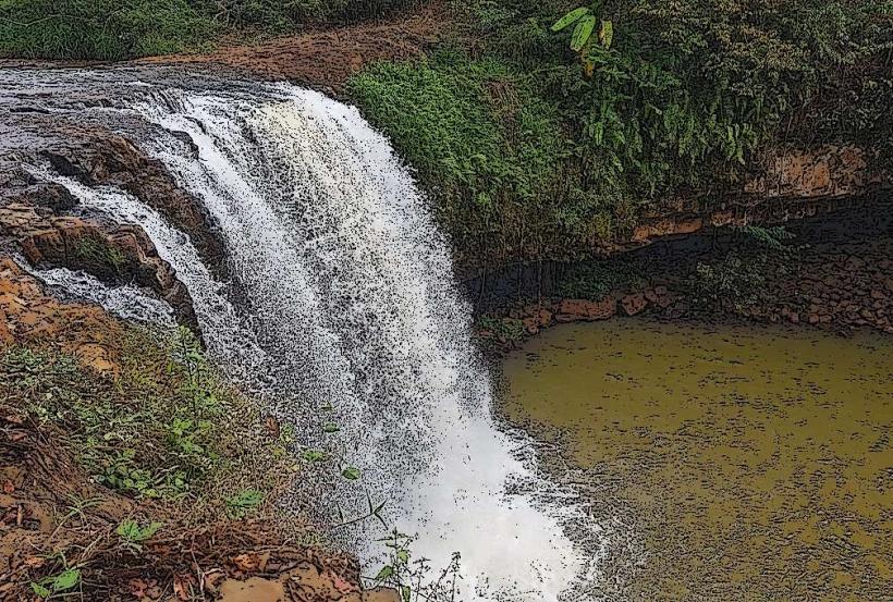
- Cha Ong Waterfall (6km East)