Landmark: Yeak Laom Volcanic Lake
City: Ratanakiri
Country: Cambodia
Continent: Asia
Yeak Laom Volcanic Lake, Ratanakiri, Cambodia, Asia
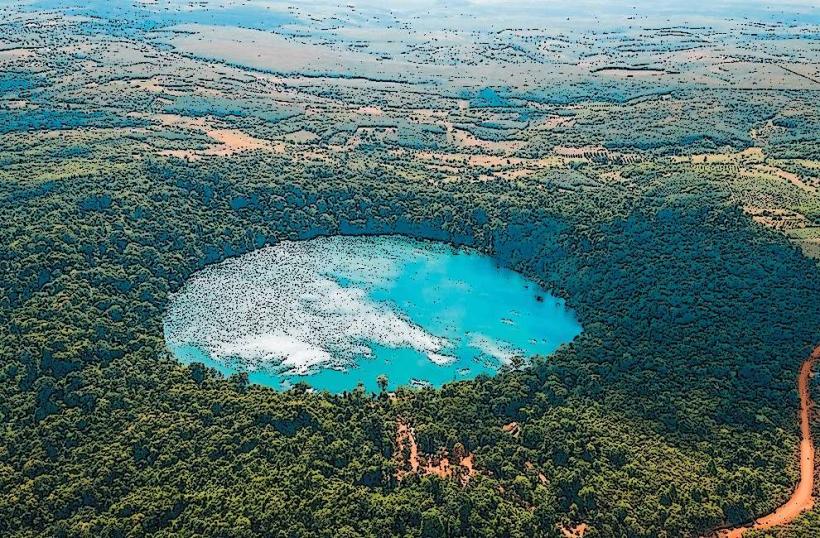
Yeak Laom Volcanic Lake is a natural, circular lake located approximately 5 kilometers south of Banlung, the capital city of Ratanakiri Province, Cambodia.
Visual Characteristics
The lake is a near-perfect circle with a diameter of approximately 800 meters. Its water is consistently clear and exhibits a deep blue-green hue. The lake is surrounded by a dense forest canopy, with the forest floor composed of dark volcanic soil and leaf litter. The elevation of the lake's surface is approximately 750 meters above sea level.
Location & Access Logistics
To reach Yeak Laom Volcanic Lake from Banlung, travel south on National Road 78 for approximately 3 kilometers. Turn right onto a paved access road marked with signage for the lake. The remaining distance to the lake entrance is approximately 2 kilometers. Parking is available at a designated lot near the visitor center. Public transport options directly to the lake are limited; shared taxis or private motorcycle taxis are the most common methods of access from Banlung.
Historical & Ecological Origin
Yeak Laom is a volcanic crater lake formed approximately 700,000 years ago by a volcanic eruption. The lake is situated within the Virachey National Park, a protected area known for its biodiversity. The surrounding forest is classified as tropical monsoon forest.
Key Highlights & Activities
Swimming is permitted within designated areas of the lake. A wooden boardwalk encircles a portion of the lake, providing elevated viewing points. Educational displays about the lake's geology and local culture are present at the visitor center. Hiking trails are available in the surrounding forest, though they are not formally maintained.
Infrastructure & Amenities
Restrooms are available at the visitor center. Shaded seating areas are provided near the lake's edge. Cell phone signal (primarily 2G/3G) is intermittent. Small food and drink vendors operate near the entrance and visitor center, offering local snacks and beverages.
Best Time to Visit
The best time of day for photography is generally mid-morning or late afternoon when the sun angle provides optimal lighting on the water's surface. The dry season, from November to April, offers the most pleasant weather conditions with less rainfall. The lake's depth and clarity remain consistent year-round.
Facts & Legends
Local folklore states that the lake was formed when a volcanic eruption destroyed a village, and the crater was filled with water. It is believed to be inhabited by spirits. A specific tip for visitors is to observe the clarity of the water; on calm days, the bottom is visible to a significant depth.
Nearby Landmarks
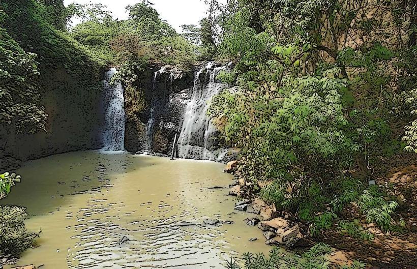
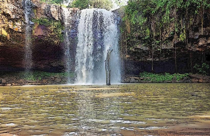
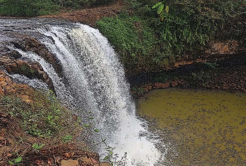
- Kachang Waterfall (2.5km Northwest)
- Cha Ong Waterfall (3.0km North)
- Banlung Market (5.0km North)
- Phnom Svay Temple (4.5km Northwest)