Landmark: Chiriquí Viejo River
City: David
Country: Panama
Continent: North America
Chiriquí Viejo River, David, Panama, North America
The Chiriquí Viejo River is a significant waterway located in the Chiriquí Province of Panama, flowing through the region surrounding the city of David.
Visual Characteristics
The river exhibits varying widths, typically ranging from 15 to 50 meters. Water color is generally clear to slightly turbid, depending on recent rainfall, with a substrate composed of gravel, sand, and exposed bedrock. The riverbanks are characterized by dense riparian vegetation, including broadleaf trees and various grasses, with some sections featuring exposed rock formations.
Location & Access Logistics
The Chiriquí Viejo River is accessible via multiple points from David. The primary access route is via the Pan-American Highway (Route 1) heading west from David. Turn north onto Provincial Road 722 (RP722) towards Boquerón. Several unpaved access roads branch off RP722, leading directly to the river. Parking is available on the shoulder of these unpaved roads. Public transport options are limited to local buses traveling between David and Boquerón; disembarking at Boquerón requires a subsequent taxi or private vehicle for river access.
Historical & Ecological Origin
The Chiriquí Viejo River is a natural fluvial system, part of the Pacific watershed of Panama. Its geological origin is tied to the erosion and sediment transport processes characteristic of the foothills of the Talamanca Mountains. Ecologically, it supports a diverse range of freshwater aquatic life and serves as a corridor for terrestrial fauna along its banks.
Key Highlights & Activities
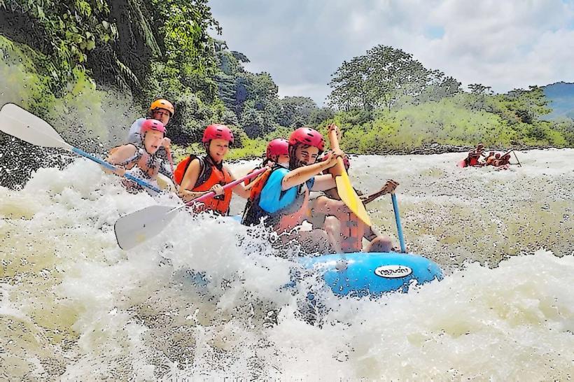
Activities include wading and swimming in designated calm sections during dry periods. Fishing for local species is permitted with appropriate licenses. Hiking along the riverbanks is possible, though trails are not formally maintained. Birdwatching is a common activity due to the riparian habitat.
Infrastructure & Amenities
No formal infrastructure or amenities are present directly along the river. Restrooms, shade, and food vendors are not available at access points. Cell phone signal (4G/5G) is intermittent and generally weak, especially away from main roads.
Best Time to Visit
The best time for visiting is during the dry season, from December to April, to ensure clearer water and more stable river levels. Mid-morning offers good lighting for photography. High tide is not a relevant factor for this river system.
Facts & Legends
Local folklore suggests that during the rainy season, the river's currents can be unpredictable, and certain deep pools are said to be inhabited by spirits of the water. A verified historical fact is that the river has historically been a source of water for agricultural irrigation in the surrounding plains.
Nearby Landmarks
- Boquerón Town Center (2.5km Southwest)
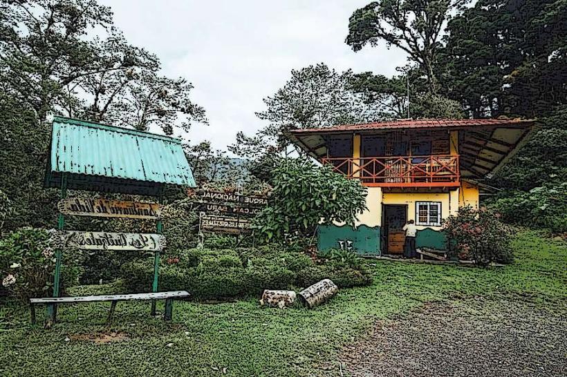
- Parque Nacional Volcán Barú (35km Northwest)
- David City Center (18km Southeast)
- Laguna de Chiriquí (40km South)