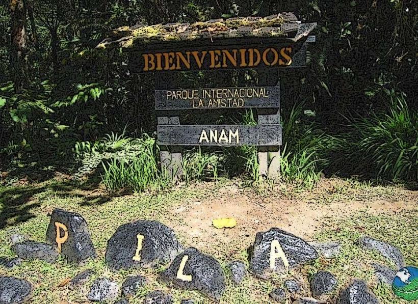
Landmark: La Amistad International Park
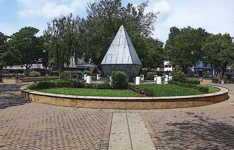
City: David
Country: Panama
Continent: North America
La Amistad International Park, David, Panama, North America
La Amistad International Park is a transboundary protected area situated on the border of Costa Rica and Panama, with a significant portion located within the province of Chiriquí, Panama, near the city of David.
Visual Characteristics
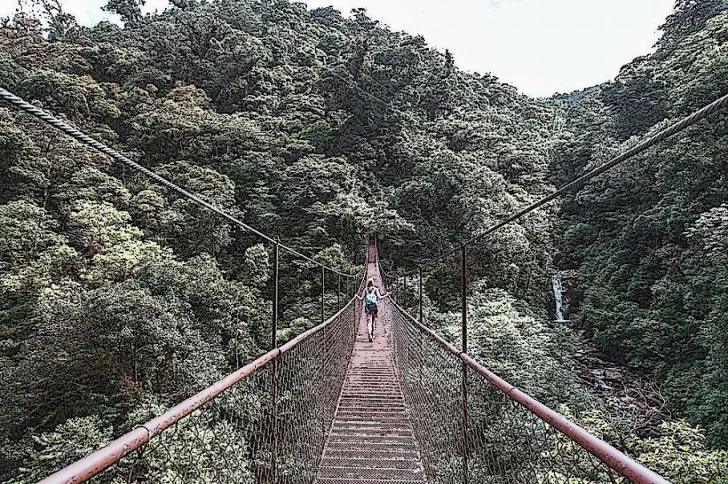
The park encompasses diverse ecosystems, including dense montane cloud forests, páramo grasslands, and tropical rainforests. Elevations range from approximately 300 meters to over 3,800 meters. Vegetation is characterized by a high density of epiphytes, mosses, and ferns in the cloud forest zones, transitioning to low-lying shrubs and grasses in the páramo. Rock formations are primarily sedimentary and volcanic, with numerous river valleys and steep slopes.
Location & Access Logistics
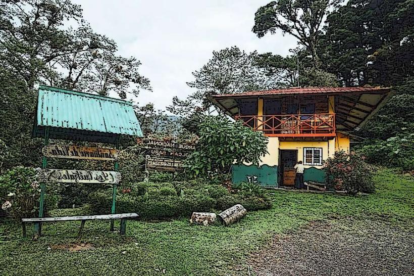
Access to the Panamanian side of La Amistad International Park is primarily via the Inter-American Highway (Pan-American Highway). From David, take the Inter-American Highway west towards Boquerón. Turn north onto the road towards Boquete, and then follow signs for Volcán. The park entrance is approximately 60 kilometers from David. Unpaved roads may be encountered closer to the park boundaries, requiring a 4x4 vehicle during the wet season. Public transport to Volcán is available from David via local buses. Parking is available at designated ranger stations and trailheads, though capacity is limited.
Historical & Ecological Origin
La Amistad International Park was established to protect the unique biodiversity and ecological processes of the Talamanca mountain range. The Panamanian portion was designated as La Amistad National Park by Law No. 21 of 1988. Ecologically, the area is classified as a Neotropical montane region, characterized by high endemism and significant altitudinal zonation. The geological history involves uplift and volcanic activity over millions of years.
Key Highlights & Activities
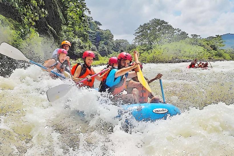
Hiking is a primary activity, with trails such as the Sendero Los Quetzales offering opportunities to observe wildlife. Birdwatching is significant, particularly for the Resplendent Quetzal. Camping is permitted at designated sites with prior authorization. Wildlife observation, including potential sightings of monkeys, tapirs, and various bird species, is a key draw.
Infrastructure & Amenities
Basic infrastructure includes ranger stations for information and permits. Restrooms are available at some ranger stations. Shade is abundant within the forest canopy. Cell phone signal is generally absent or unreliable within the park's interior. Food vendors are not present within the park; visitors must carry their own provisions. Nearby towns like Volcán offer limited amenities.
Best Time to Visit
The dry season, from December to April, offers the most favorable weather conditions for hiking and outdoor activities. The transition months of November and May can experience intermittent rain. For photography, early morning and late afternoon provide optimal lighting conditions due to the cloud cover and sun angle. High elevations can experience fog year-round.
Facts & Legends
The park is a critical watershed for several rivers that supply water to surrounding communities. A local legend speaks of ancient spirits guarding the highest peaks, discouraging those with ill intentions from venturing too deep into the mountains.
Nearby Landmarks
- Volcán Barú National Park (10km Northwest)
- Boquete Orchid Garden (25km Southeast)
- Fort San Lorenzo (70km Southwest)
- Chiriquí Grande (45km West)
- Bocas del Toro Archipelago (accessible via ferry from Almirante, 70km Northwest)