Landmark: Sendero Los Quetzales
City: David
Country: Panama
Continent: North America
Sendero Los Quetzales, David, Panama, North America
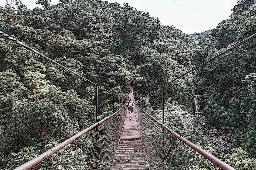
Sendero Los Quetzales is a 9.6 km (6 mile) hiking trail located within the La Amistad International Park, connecting the towns of Boquete and Cerro Punta in Panama.
Visual Characteristics
The trail traverses varied terrain, including dense cloud forest, open meadows, and steep ascents/descents. Elevation changes significantly, with the highest point reaching approximately 2,400 meters (7,874 feet). The forest canopy is characterized by a high density of epiphytes, including orchids and bromeliads. The trail surface is primarily packed earth, with sections of exposed roots and rocks.
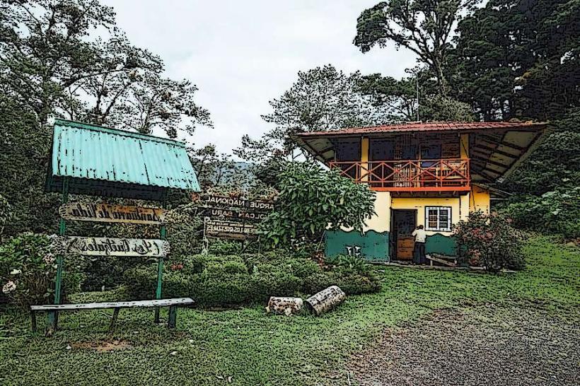
Location & Access Logistics
The eastern trailhead is accessible from Boquete via the paved Alto Boquete road, approximately 15 km (9.3 miles) from the town center. The western trailhead is near Cerro Punta, accessible via the paved road from Volcán. Private vehicle parking is available at both trailheads. Public transport to Boquete and Volcán is available from David. From Boquete or Volcán, local taxis or pre-arranged shuttles are the primary means to reach the trailheads.
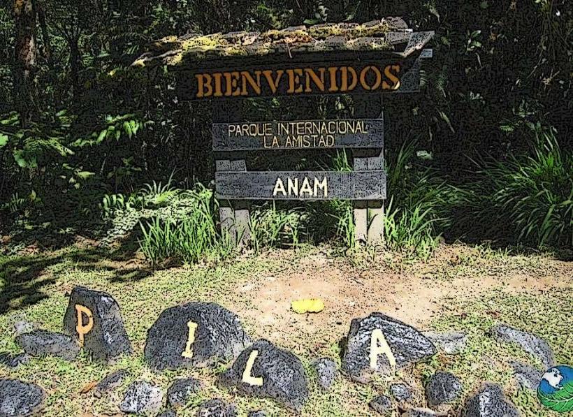
Historical & Ecological Origin
Sendero Los Quetzales follows ancient indigenous pathways. The area is part of the Talamanca mountain range, a UNESCO World Heritage site, and is a critical habitat for numerous endemic species, including the Resplendent Quetzal. The cloud forest ecosystem is characterized by high humidity and consistent rainfall.
Key Highlights & Activities
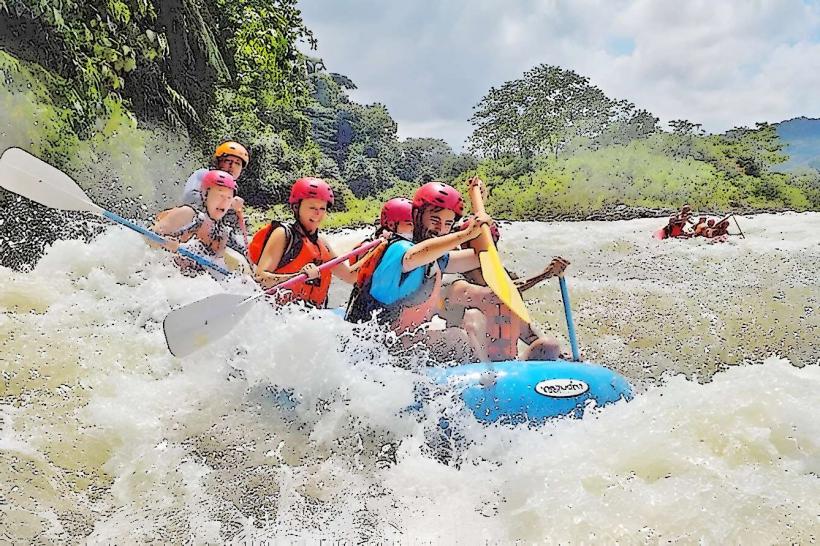
Hiking the full 9.6 km trail is the primary activity. Birdwatching is a significant draw, with opportunities to observe quetzals, hummingbirds, and other avian species. Photography is possible throughout the trail, particularly during morning and late afternoon hours for optimal lighting. The trail is generally considered moderate to difficult due to elevation changes and trail conditions.
Infrastructure & Amenities
Restrooms are available at the Boquete trailhead. Limited shade is present along the trail, primarily from the forest canopy. Cell phone signal is intermittent and generally unreliable along most of the route. No food vendors are located directly on the trail; provisions should be carried by hikers.
Best Time to Visit
The best months for hiking are generally December through April, during the dry season, offering clearer skies and less muddy conditions. The best time of day for wildlife viewing, especially quetzals, is early morning between 6:00 AM and 9:00 AM. The trail is accessible year-round, but rain is frequent, particularly in the afternoons.
Facts & Legends
The Resplendent Quetzal, a bird historically revered by Mesoamerican cultures, is a primary attraction. Local folklore suggests that seeing a quetzal brings good fortune. The trail's elevation means temperatures can drop significantly, requiring appropriate layering of clothing.
Nearby Landmarks
- Boquete Town Center (15km East)
- Volcán Barú National Park Entrance (10km Southwest)
- Cerro Punta Town Center (5km West)
- Finca Lerida Coffee Plantation (8km Northwest)
- The Lost Waterfalls (6km Southeast)