Landmark: Volcan Baru National Park
City: David
Country: Panama
Continent: North America
Volcan Baru National Park, David, Panama, North America
Volcan Baru National Park is a protected area located in the Chiriquí Province of Panama, encompassing the country's highest peak.
This park preserves a significant portion of the Talamanca mountain range's cloud forest ecosystem.
Visual Characteristics
The dominant feature is Volcan Baru, a dormant stratovolcano reaching an elevation of 3,474 meters (11,398 feet). The slopes are covered in dense cloud forest vegetation, characterized by a high concentration of epiphytes such as orchids and bromeliads. Tree species include oak, pine, and various hardwoods. The summit area is often obscured by clouds and mist. Rock formations are primarily volcanic in origin, with evidence of past lava flows.
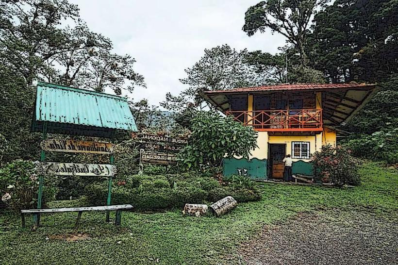
Location & Access Logistics
The park is situated approximately 30 kilometers northwest of David, the provincial capital. Access is via the paved, two-lane road, Carretera a Volcan, which leads towards the town of Volcan. From Volcan, local signage directs visitors to the park entrance. Parking is available at designated areas near the main ranger station. Public transport options are limited; shared taxis (colectivos) operate between David and Volcan, from where a local taxi or pre-arranged transport is required to reach the park entrance.
Historical & Ecological Origin
Volcan Baru is a stratovolcano formed by volcanic activity over millions of years. Its last known eruption occurred approximately 500 AD. Ecologically, the park protects a critical segment of the Mesoamerican cloud forest, a biome known for its high biodiversity and endemism. The park was established to conserve this unique environment and its watershed.
Key Highlights & Activities
Hiking is the primary activity. The main trail to the summit is approximately 13 kilometers one-way and requires an early start for sunrise viewing. Shorter trails explore the lower forest elevations. Birdwatching is a significant draw, with opportunities to spot the Resplendent Quetzal, especially during the nesting season. Photography is possible, though summit views are weather-dependent.
Infrastructure & Amenities
Basic facilities are available at the park entrance, including a ranger station and restrooms. Limited shade is present along the main trails, particularly in the lower forest sections. Cell phone signal is intermittent and generally unavailable at higher elevations. No food vendors are located within the park; visitors should bring their own provisions.
Best Time to Visit
The dry season, from December to April, offers clearer skies and better visibility. For sunrise viewing at the summit, an early morning departure (before 3:00 AM) is recommended. The best time of day for photography of the forest canopy is generally mid-morning, after the initial fog has lifted. High tide or low tide is not a relevant factor for this terrestrial park.
Facts & Legends
It is said that on exceptionally clear days, one can see both the Pacific Ocean and the Caribbean Sea from the summit of Volcan Baru, a testament to Panama's narrow geographical width. The park is also a vital water source for the surrounding region, feeding numerous rivers and streams.
Nearby Landmarks
- Boquete (15km Northeast)
- Cerro Punta (20km Northwest)
- Fort San Lorenzo (75km Southeast)
- Isla Boca del Toro (80km North)
- Panama Canal (100km Southeast)