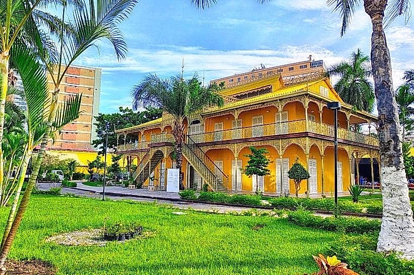
Landmark: Cidade Alta
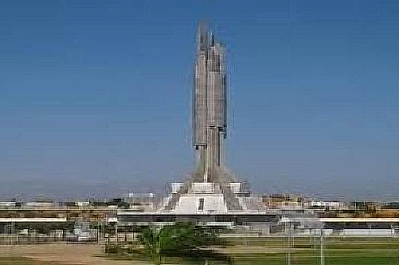
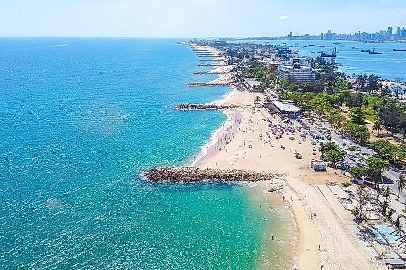
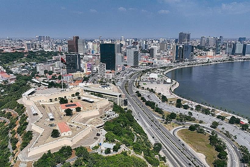
City: Luanda
Country: Angola
Continent: Africa
Cidade Alta, Luanda, Angola, Africa
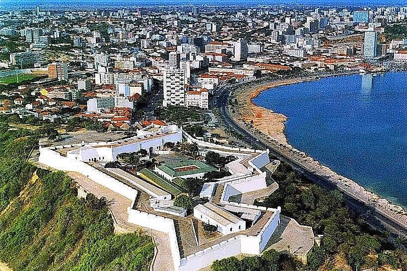
Cidade Alta is the historic upper city district of Luanda, Angola. It is situated on a plateau overlooking the bay.
Visual Characteristics
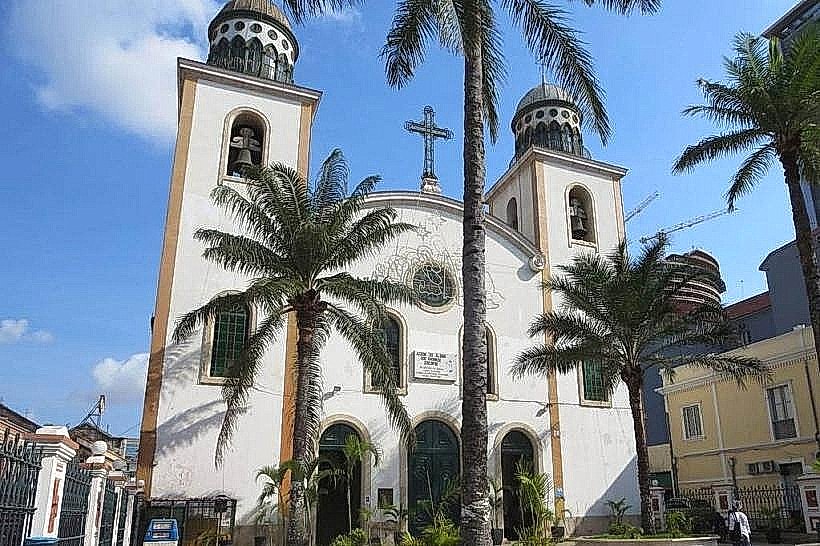
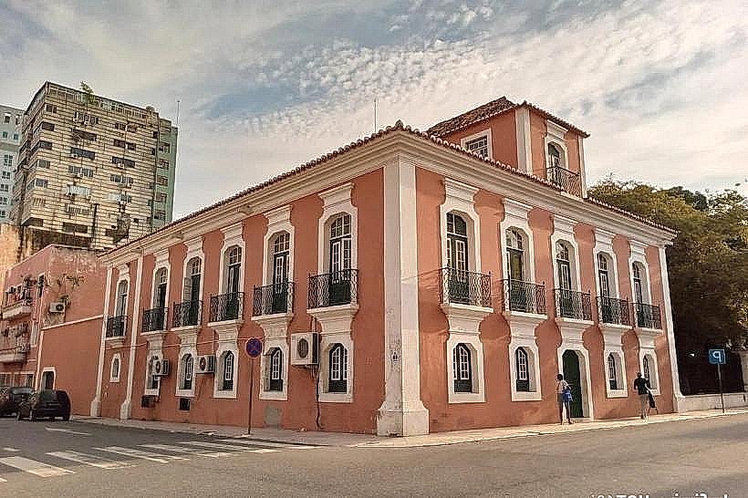
The district features colonial-era architecture, primarily constructed from stone and stucco. Buildings exhibit a range of colors, including ochre, white, and pastel shades. Many structures are two to three stories in height, with tiled roofs. Architectural styles include Baroque and Neoclassical influences.
Location & Access Logistics
Cidade Alta is located in the central part of Luanda. Access is via Avenida 4 de Fevereiro (formerly Avenida Américo Boavida) which leads uphill from the lower city. Parking is limited and often restricted within the district itself; visitors typically park in designated areas in the lower city and walk or take local transport. Bus lines serving the central Luanda area stop at the base of the plateau, requiring an ascent on foot or via local taxis.
Historical & Ecological Origin
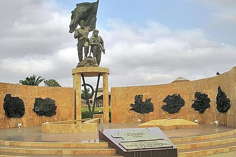
Cidade Alta developed as the administrative and residential center of Luanda during Portuguese colonial rule, with significant construction occurring from the 17th to the 20th centuries. Its original purpose was to serve as the seat of government and the primary European settlement, strategically positioned for defense and oversight of the port.
Key Highlights & Activities
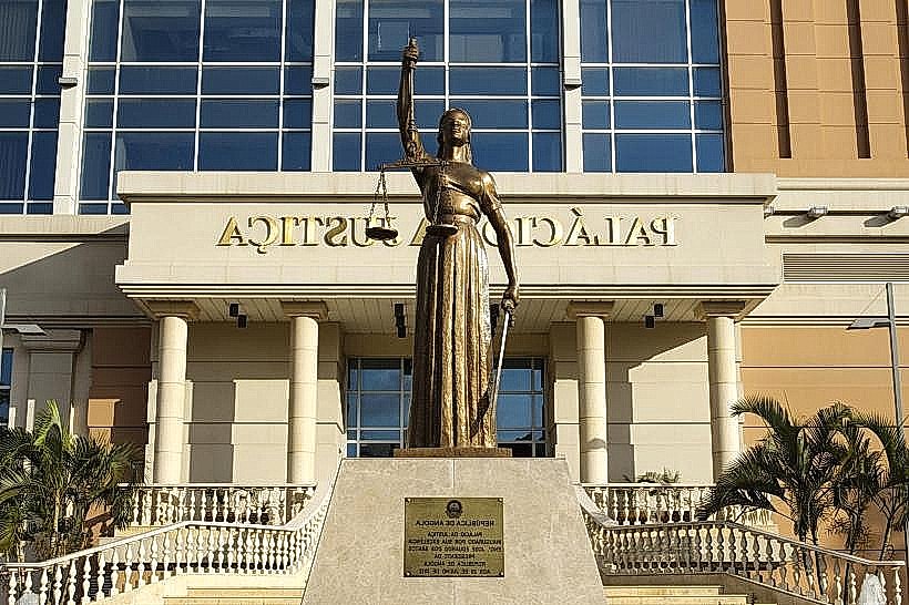
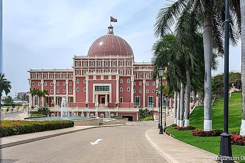
Exploration of the district on foot is the primary activity. Visitors can observe the architecture of the Presidential Palace, the Metropolitan Cathedral of Luanda, and the National Museum of Slavery. Walking tours focusing on colonial history are available.
Infrastructure & Amenities
Restrooms are available in some public buildings and nearby cafes. Shade is provided by building overhangs and some mature trees. Cell phone signal (4G) is generally available. Food vendors and small restaurants are located on the periphery of the district and in the lower city.
Best Time to Visit
The best time of day for photography is in the morning or late afternoon to avoid harsh midday light. The dry season, from May to September, offers more favorable weather conditions with lower humidity and less rainfall.
Facts & Legends
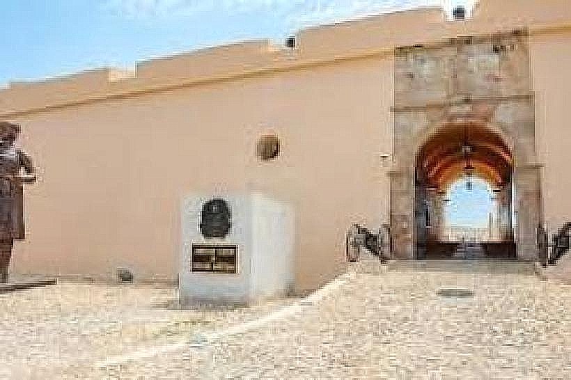
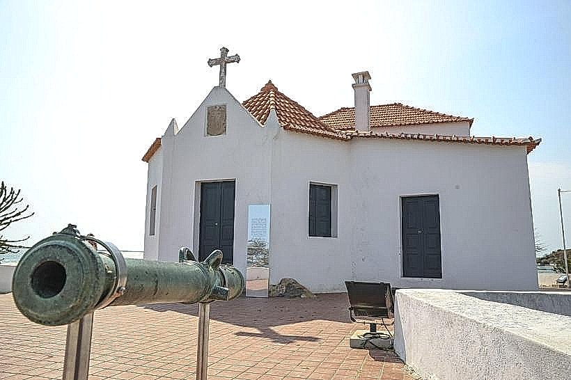
A notable historical oddity is the presence of old cannons still visible on some ramparts, remnants of the city's defensive past. It is said that during certain historical periods, the upper city was strictly segregated from the lower city.
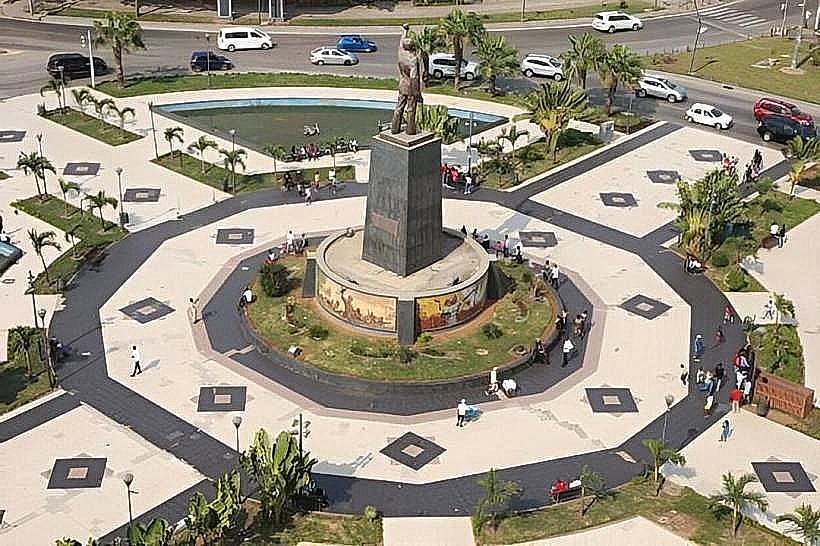
Nearby Landmarks
- National Museum of Slavery (0.2km West)
- Luanda Bay (0.5km South)
- Fortaleza de São Miguel (0.7km Southwest)
- National Bank of Angola (0.3km West)
- Praça da Independência (0.6km Northwest)