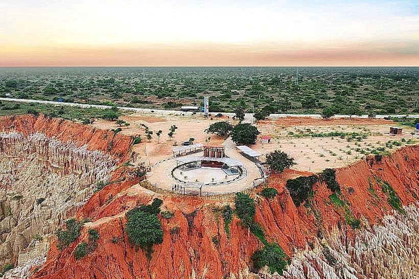
Landmark: Miradouro da Lua
City: Luanda
Country: Angola
Continent: Africa
Miradouro da Lua, Luanda, Angola, Africa
Miradouro da Lua is a geological formation located approximately 40 kilometers south of Luanda, Angola.
It is characterized by its eroded sandstone formations resembling a lunar landscape.
Visual Characteristics
The site features a series of hoodoos and eroded pillars formed from reddish-brown sandstone. The formations vary in height, with some reaching up to 10 meters. The surrounding vegetation is sparse, consisting primarily of drought-resistant shrubs and grasses.
Location & Access Logistics
Miradouro da Lua is situated off the National Road EN100 (Estrada Nacional 100), approximately 40 kilometers south of Luanda's city center. Access is via a paved road that branches off the EN100. Parking is available on-site, typically on unpaved areas adjacent to the viewpoint. Public transport options are limited; private vehicles or taxis are the most common means of access.
Historical & Ecological Origin
The formations are the result of long-term erosion by wind and rain acting upon sedimentary rock layers. This process has sculpted the sandstone into the distinctive shapes observed today, creating a landscape often compared to the surface of the moon.
Key Highlights & Activities
Observation of the geological formations from designated viewpoints. Photography of the eroded sandstone structures. Walking along the edges of the formations (caution advised due to uneven terrain).
Infrastructure & Amenities
Basic amenities are minimal. There are no permanent restroom facilities. Shade is limited, provided only by natural rock overhangs. Cell phone signal (4G/5G) is generally available but can be intermittent. Food vendors are not consistently present at the site itself; visitors typically bring their own provisions or purchase them in Luanda.
Best Time to Visit
The best time of day for photography is during the late afternoon, approximately 1-2 hours before sunset, when the low-angle sunlight enhances the texture and color of the rock formations. The dry season, from May to September, offers more predictable weather conditions with less rainfall.
Facts & Legends
Local folklore suggests that the formations were once the homes of ancient spirits. A specific geological fact is that the sandstone is composed of fine grains, making it susceptible to rapid erosion.
Nearby Landmarks
- Praia da Samba (5km North)
- Ilha de Luanda (10km North)
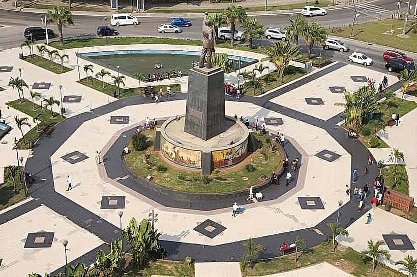
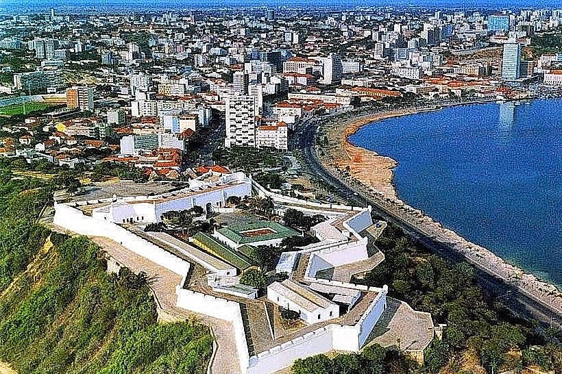
- Fortaleza de São Miguel (15km North)
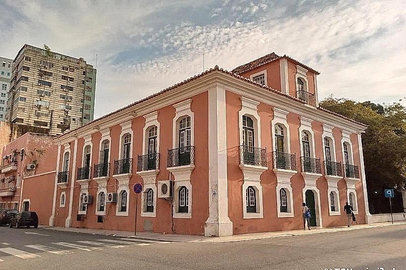
- Museu Nacional de Antropologia (12km North)