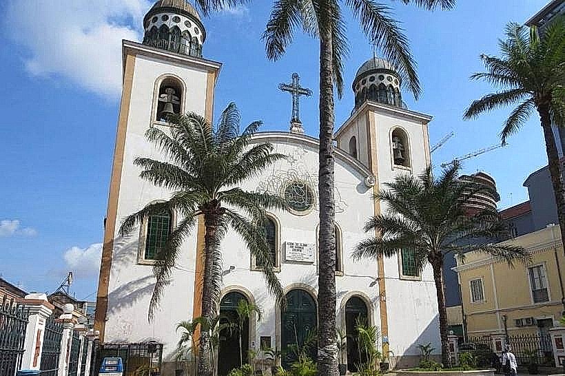
Landmark: Ilha do Cabo
City: Luanda
Country: Angola
Continent: Africa
Ilha do Cabo, Luanda, Angola, Africa
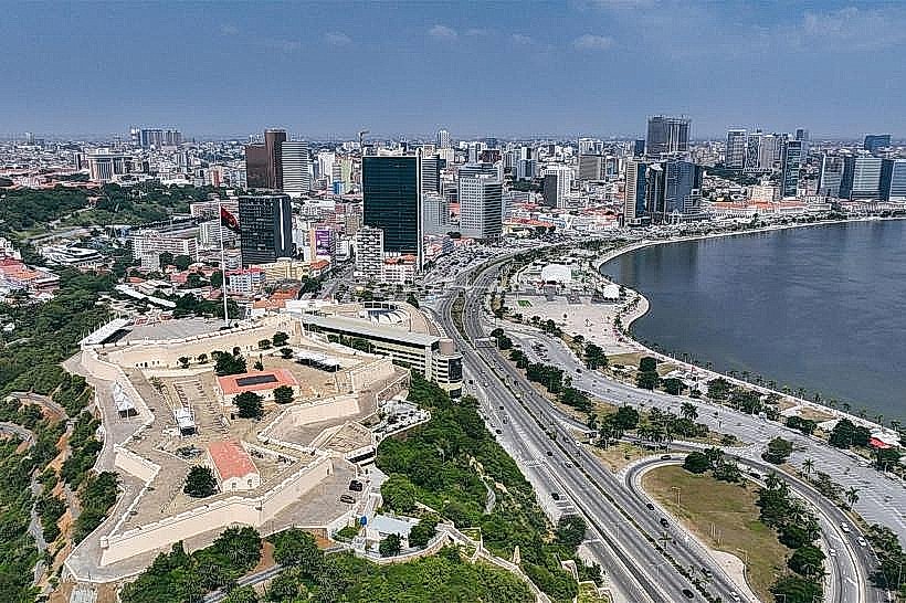
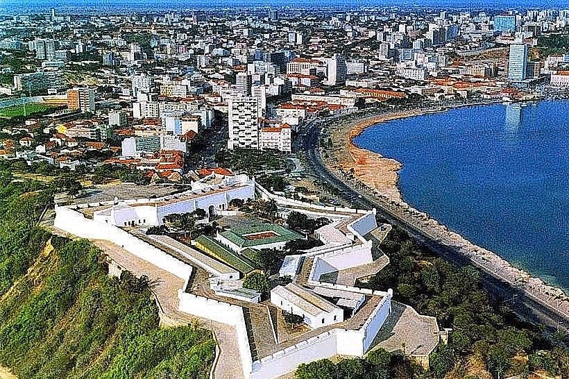
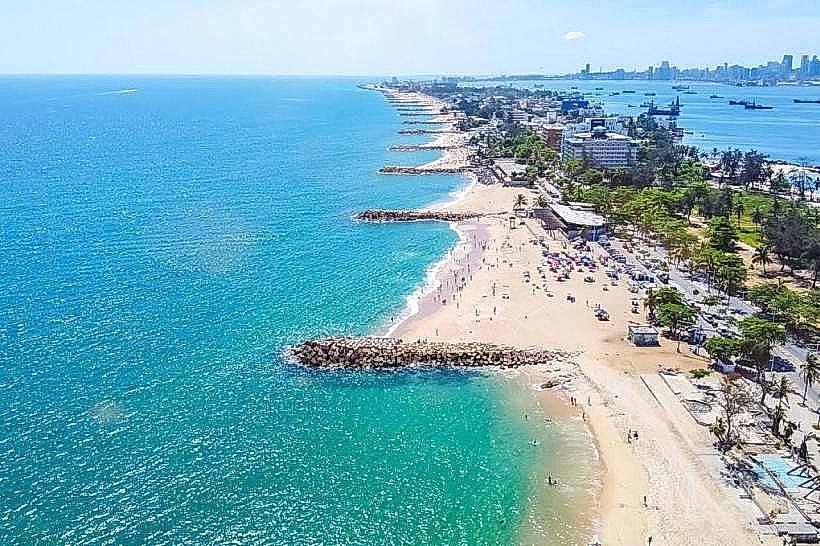
Ilha do Cabo is a peninsula located in Luanda, Angola, extending into the Atlantic Ocean.
Visual Characteristics
The peninsula is characterized by a narrow strip of land with sandy beaches on its western side and a more developed urban coastline on the east. Vegetation is sparse, consisting primarily of low-lying coastal scrub and scattered palm trees. The ocean water is typically a deep blue, with waves breaking on the shore.
Location & Access Logistics
Ilha do Cabo is situated approximately 5 kilometers west of Luanda's city center. Access is primarily via the Avenida 4 de Fevereiro, which leads directly onto the peninsula. Vehicle traffic is generally permitted, with parking available along the main road and in designated areas, though it can be limited during peak hours. Public transport options include local bus lines that service the area, though specific route numbers are subject to change.
Historical & Ecological Origin
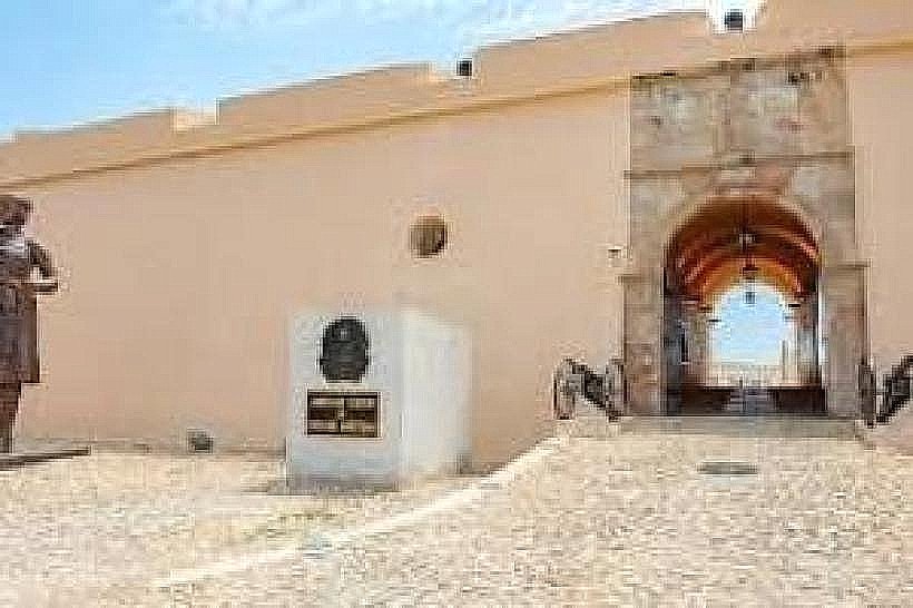
The peninsula's formation is a result of coastal geomorphological processes, specifically the accumulation of sand deposits driven by ocean currents. Historically, it has served as a strategic point for the city of Luanda, with early fortifications and later development for residential and recreational purposes.
Key Highlights & Activities
Activities include walking along the beaches, observing local fishing practices, and dining at restaurants located on the eastern side. Swimming is possible, but caution is advised due to currents. Photography of the coastline and city skyline is a common activity.
Infrastructure & Amenities
Restrooms are available at some restaurants and public access points. Shade is limited, primarily provided by natural vegetation and structures at commercial establishments. Cell phone signal (4G/5G) is generally consistent across the peninsula. Food vendors and restaurants are concentrated along the eastern side.
Best Time to Visit
For photography, the late afternoon provides angled light on the city skyline. The dry season, from May to September, offers more stable weather conditions. Tidal variations do not significantly impact access or activities on the peninsula itself.
Facts & Legends
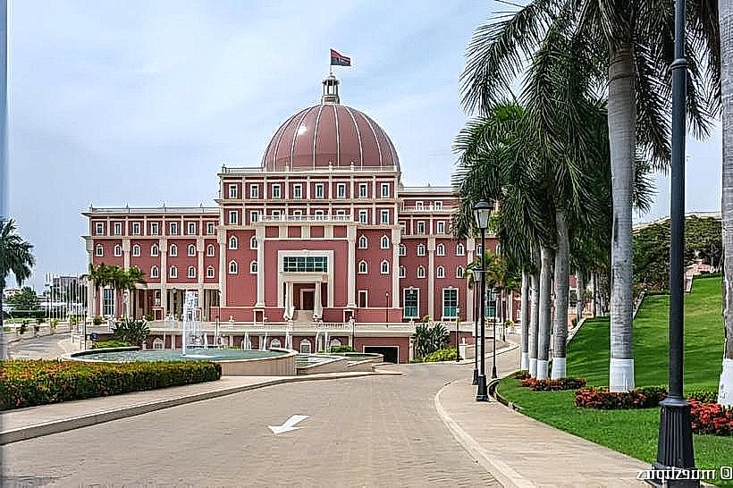
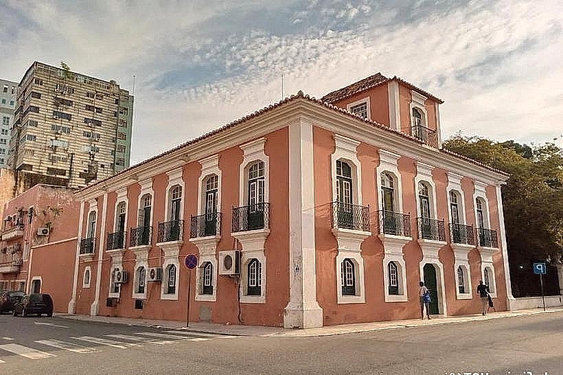
A notable historical aspect is the presence of the Presidential Palace, located on the eastern edge of the peninsula, which has been a center of Angolan governance for decades. Local lore sometimes speaks of shipwrecks off the coast, though specific documented incidents are scarce.
Nearby Landmarks
- Palácio Presidencial (Presidential Palace) - 0.2km East
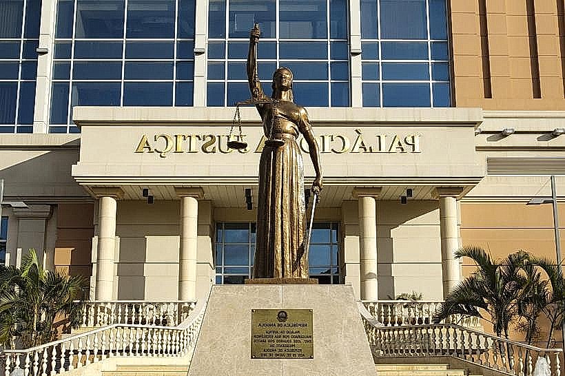
- Museu Nacional de Antropologia - 2.5km Northeast
- Fortaleza de São Miguel - 3.0km Northeast
- Baía de Luanda - 3.5km Northeast