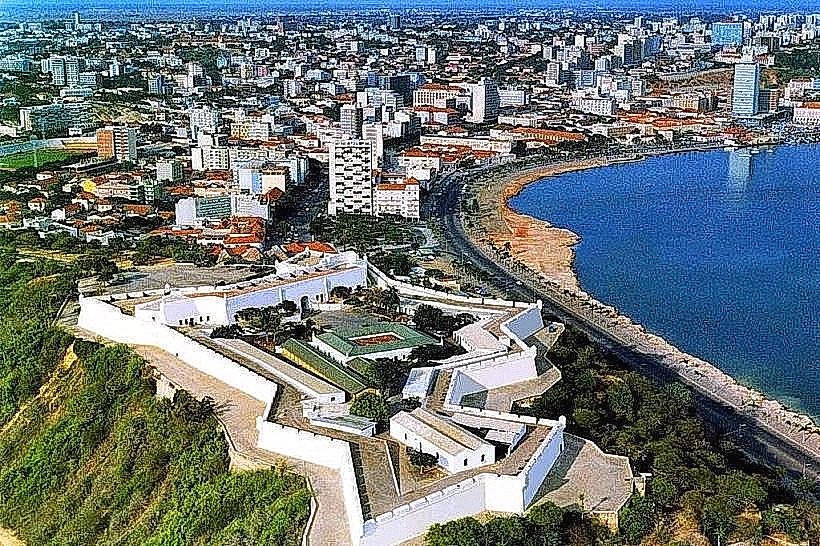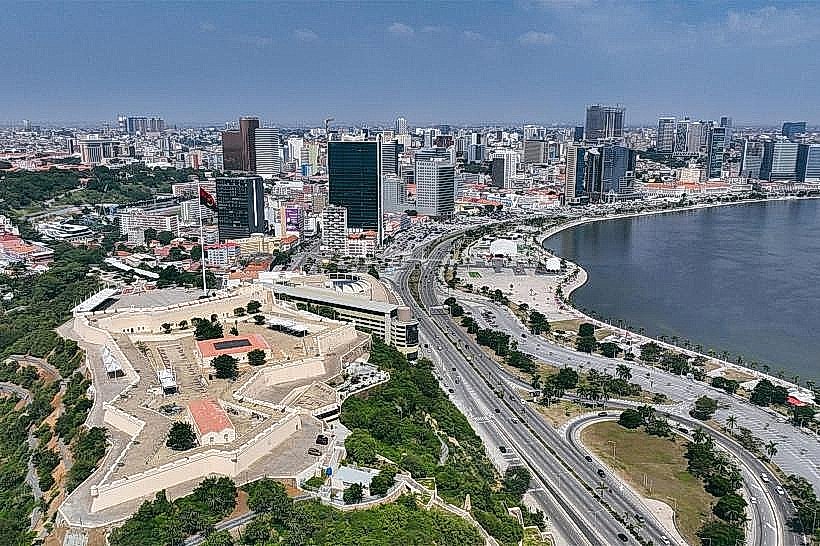
Landmark: Marginal de Luanda
City: Luanda
Country: Angola
Continent: Africa
Marginal de Luanda, Luanda, Angola, Africa
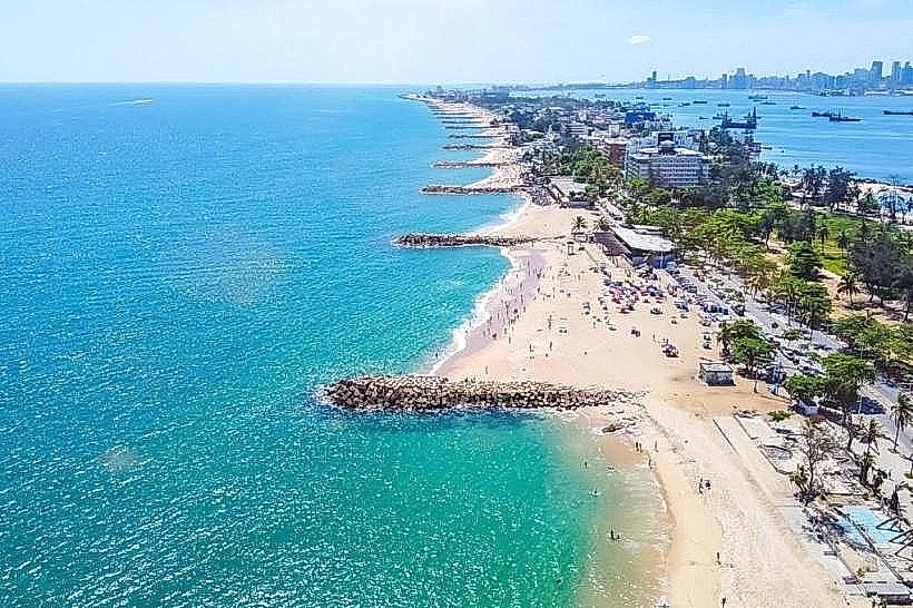
Marginal de Luanda is a waterfront promenade located in Luanda, Angola.
It serves as a primary public space along the city's coastline.
Visual Characteristics
The Marginal de Luanda features a paved walkway constructed from concrete and asphalt. It is bordered by a seawall made of reinforced concrete and stone. The promenade is approximately 5 kilometers in length and varies in width from 10 to 20 meters. It is lined with palm trees and occasional public seating areas. The adjacent ocean water is typically a deep blue, with a sandy seabed visible in shallower areas. Street lighting is installed along its length.
Location & Access Logistics
The Marginal de Luanda extends along the coastline of Luanda Bay. It begins near the Port of Luanda and runs southwest towards the Ilha de Luanda. Access is directly from Avenida 4 de Fevereiro, which runs parallel to the promenade. Parking is available in designated lots along Avenida 4 de Fevereiro, though it can be limited during peak hours. Public transport options include various local bus lines (e.g., T'chaco) that service Avenida 4 de Fevereiro. Taxis are also readily available.
Historical & Ecological Origin
The development of the Marginal de Luanda began in the mid-20th century as part of urban planning initiatives to improve the city's waterfront. Its primary purpose was to create a public recreational area and to protect the coastline from erosion. The area is situated on a coastal plain formed by sedimentary deposits.
Key Highlights & Activities
Walking and jogging are common activities. Public gatherings and events are frequently held. Photography of the bay and city skyline is possible. Fishing from designated areas of the seawall occurs. Observation of local maritime traffic is available.
Infrastructure & Amenities
Restrooms are available at intervals, often associated with small kiosks. Shade is provided by palm trees. Cell phone signal (4G/5G) is generally strong. Food vendors and small cafes are present along the promenade and on adjacent streets.
Best Time to Visit
The best time of day for photography is typically late afternoon, approximately 16:00 to 18:00, for favorable lighting conditions. The months of June through September offer drier weather. High tide does not significantly impact access or activities on the promenade itself.
Facts & Legends
A specific local anecdote suggests that during certain calm evenings, the reflections of the city lights on the bay's surface are so clear they create the illusion of a second city beneath the water.
Nearby Landmarks
- Port of Luanda (0.2km Northeast)
- National Museum of Slavery (1.5km West)
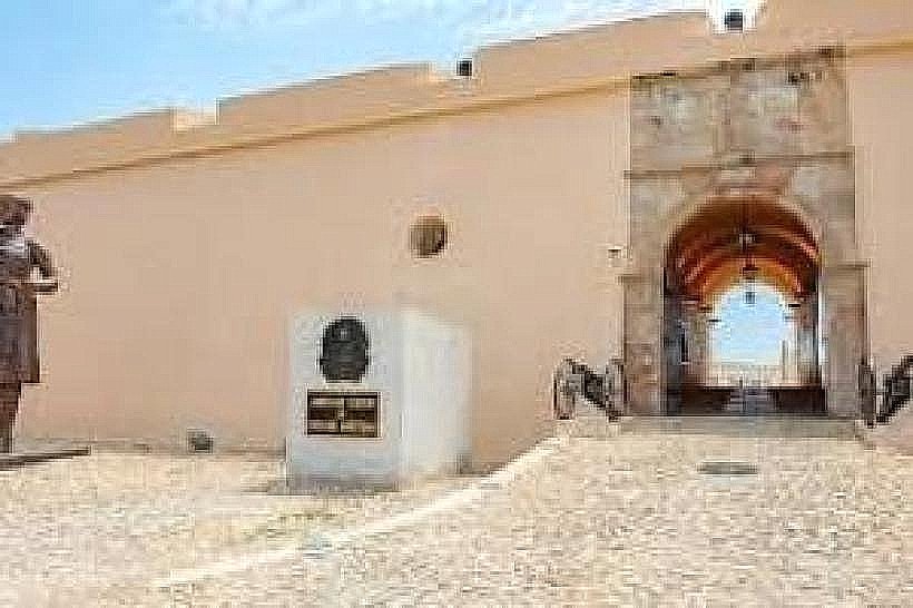
- Fortaleza de São Miguel (1.8km West)
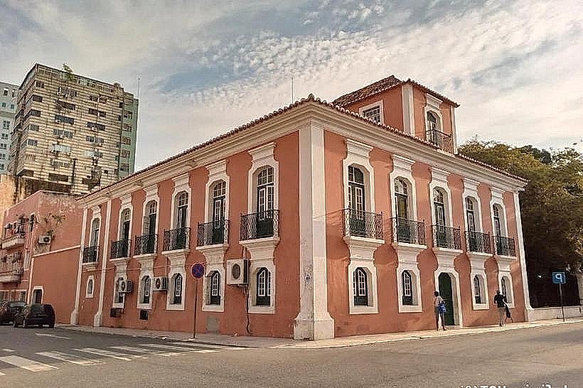
- National Bank of Angola (1.2km Northwest)
- Luanda Bay (Adjacent)