Landmark: Comb Ridge
City: Bluff
Country: USA Utah
Continent: North America
Comb Ridge, Bluff, USA Utah, North America
Comb Ridge is a prominent geological feature located in southeastern Utah, near the town of Bluff.
This elongated sandstone hogback extends for approximately 20 miles, characterized by its steep, eroded slopes and a distinct, comb-like crest.
Visual Characteristics
Comb Ridge is composed primarily of Navajo Sandstone, exhibiting hues of tan, orange, and red. The ridge's crest is serrated, formed by differential erosion of the sandstone layers, creating a series of sharp peaks and valleys. The slopes are steep and often covered with sparse desert vegetation, including juniper and pinyon pine.
Location & Access Logistics
Comb Ridge is situated approximately 10 miles west of Bluff, Utah. Access is primarily via State Route 162 (also known as Bluff Road or County Road 262). Several unpaved, well-maintained dirt roads branch off SR 162, providing access to trailheads and viewpoints along the ridge. These roads are generally suitable for passenger vehicles in dry conditions. Parking is available at designated pull-offs and trailheads. No public transport services operate directly to Comb Ridge.
Historical & Ecological Origin
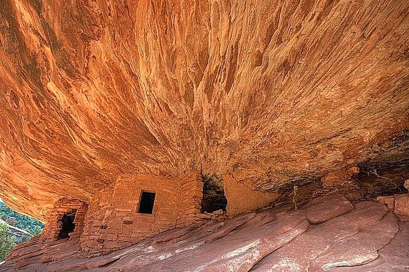
Comb Ridge is a classic example of a hogback, a long, narrow ridge with a sharp crest. It formed through the erosion of tilted sedimentary rock layers, specifically the Navajo Sandstone, which was deposited during the Jurassic period. The uplift of the Colorado Plateau and subsequent erosion by wind and water have sculpted its current form. The area is part of the Colorado Plateau's arid desert ecosystem.
Key Highlights & Activities
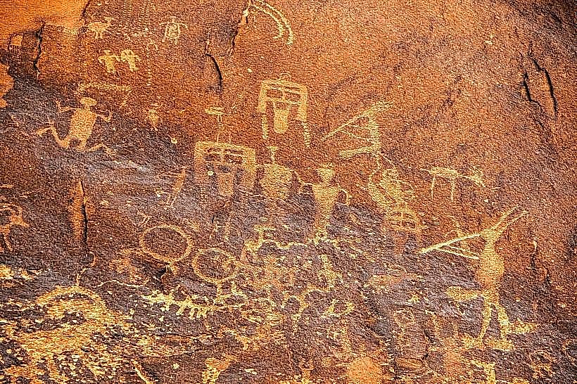
Hiking is a primary activity, with several trails traversing the ridge and its base. The Comb Ridge Petroglyph Panel, a significant archaeological site featuring numerous ancient rock carvings, is accessible via a short hike from a designated trailhead. Exploration of the ridge's crest offers panoramic views of the surrounding desert landscape. Rock climbing opportunities exist on some of the sandstone formations.
Infrastructure & Amenities
Limited infrastructure is present. Restrooms are not available at trailheads or along the ridge. Shade is minimal, provided only by sparse vegetation. Cell phone signal (4G/5G) is unreliable and generally absent in most areas. No food vendors are located directly at Comb Ridge; visitors should bring supplies from Bluff.
Best Time to Visit
The best time for visiting Comb Ridge is during the spring (April-May) and fall (September-October) when temperatures are moderate. Summer months (June-August) can be extremely hot, with daytime temperatures frequently exceeding 100°F (38°C). Early morning or late afternoon provides the best lighting for photography due to the low-angle sun illuminating the sandstone colors.
Facts & Legends
The Comb Ridge Petroglyph Panel is one of the most extensive and well-preserved rock art sites in Utah, featuring thousands of petroglyphs created by ancestral Puebloans. Some researchers believe the ridge's distinctive shape may have held spiritual significance for these early inhabitants.
Nearby Landmarks
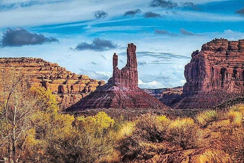
- Valley of the Gods (3.5km Northwest)
- Moki Dugway (7.2km West)
- Goosenecks State Park (12.5km Southeast)
- Natural Bridges National Monument (25.0km Northwest)
- Hole-in-the-Rock Trail (15.0km Southeast)