Landmark: Goosenecks State Park
City: Bluff
Country: USA Utah
Continent: North America
Goosenecks State Park, Bluff, USA Utah, North America
Goosenecks State Park is a geological viewpoint located near Bluff, Utah, USA. It offers a perspective on the entrenched meanders of the San Juan River.
Visual Characteristics
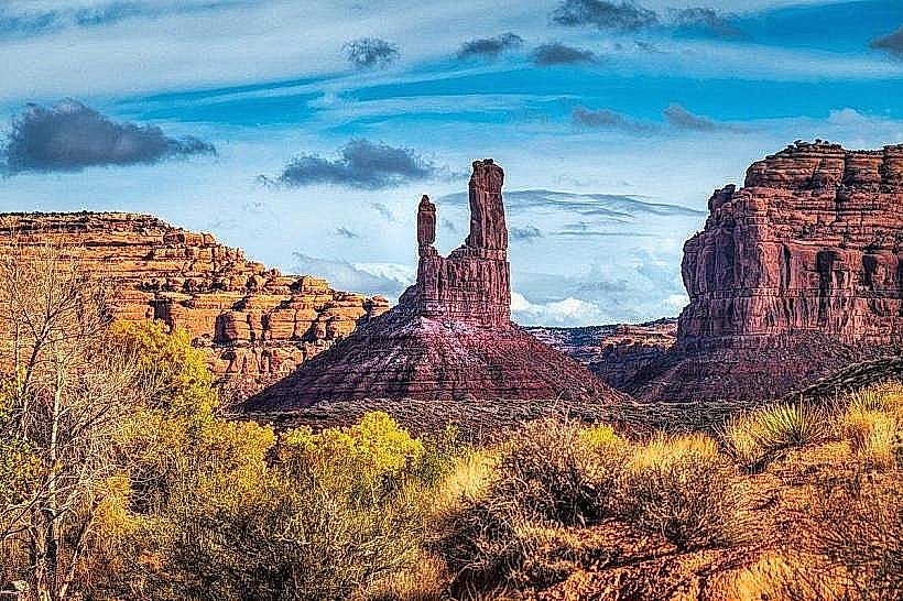
The primary visual element is the deeply incised canyon carved by the San Juan River. The canyon walls are composed of sedimentary rock layers, primarily Navajo Sandstone and Kayenta Formation, exhibiting shades of red, orange, and tan. The river below appears as a dark, winding ribbon. Vegetation is sparse, consisting of desert scrub and hardy grasses clinging to the canyon rims and slopes.
Location & Access Logistics
The park is situated approximately 3 miles west of U.S. Route 191. Access is via State Route 261, which leads directly to the park entrance. The park is located 10 miles from Bluff, Utah. Parking is available in a designated lot at the main viewpoint. No public transport services operate directly to the park.
Historical & Ecological Origin
The goosenecks are a result of the San Juan River cutting through the Colorado Plateau over millions of years. This process, known as entrenchment, occurs when a river erodes downward into its bed at a rate that keeps pace with the uplift of the surrounding landmass. The specific geological formations visible are part of the Colorado Plateau's sedimentary rock record, dating back to the Jurassic period.
Key Highlights & Activities
The primary activity is viewing the entrenched river meanders from the designated overlook. No hiking trails are present within the park itself. Photography is a common activity, particularly during sunrise and sunset for lighting conditions.
Infrastructure & Amenities
The park features a small parking area and a single overlook with a protective railing. Restrooms are not available within the park boundaries. Shade is minimal, provided only by natural rock overhangs. Cell phone signal is generally unreliable.
Best Time to Visit
For optimal lighting conditions for photography, early morning (sunrise) and late afternoon (sunset) are recommended. The best months for comfortable weather are April through May and September through October, avoiding the extreme heat of summer and potential winter cold.
Facts & Legends
The San Juan River, at this location, makes a 5-mile journey to cover only 1.5 miles as the crow flies, demonstrating the extreme degree of meandering. The river's flow can vary significantly based on snowmelt and rainfall in its upstream watershed.
Nearby Landmarks
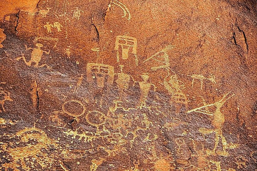
- Newspaper Rock State Historical Monument (15km Northwest)
- Valley of the Gods (10km Southwest)
- Moki Dugway (12km West)
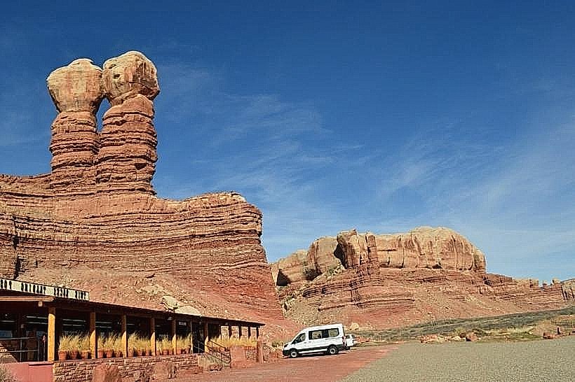
- Hole 'n the Rock (25km Southeast)
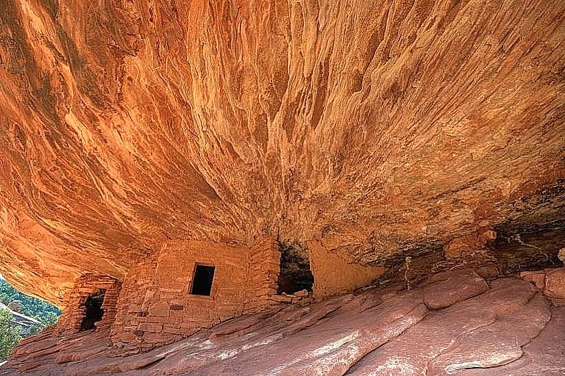
- Bears Ears National Monument (Variable distances, accessible via nearby routes)