Landmark: Daymaniyat Islands
City: Barka
Country: Oman
Continent: Asia
Daymaniyat Islands, Barka, Oman, Asia
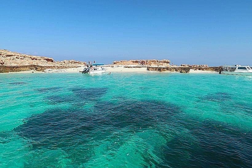
The Daymaniyat Islands are a protected marine nature reserve consisting of an archipelago of nine uninhabited islands in the Gulf of Oman. The chain is located approximately 18 kilometers off the coast of Barka and 70 kilometers west of the capital city, Muscat.
Visual Characteristics
The archipelago features rocky limestone cliffs and outcrops that contrast with extensive white "powdery" sand beaches. The surrounding waters transition from shallow turquoise lagoons to deep emerald and azure zones. Terrestrial vegetation is sparse, consisting of approximately 15 species of wild plants, while the underwater landscape is defined by over 20 species of dense coral reefs and diverse coral gardens.
Location & Access Logistics
Access is strictly by sea, with boat transfers departing primarily from Al Mouj Marina in Muscat or from the Sohar/Barka coastline. The boat journey from Muscat takes approximately 45 to 60 minutes. Visitors must obtain a legal permit from the Environment Authority to land on the islands; most authorized tour operators include this permit in their booking fee. There is no land-based public transport to the islands.
Historical & Ecological Origin
The area was established as a National Nature Reserve by Royal Decree on April 3, 1996, making it Oman's first marine protected area. Geologically, the islands are composed of ancient coral limestone. Ecologically, they serve as a critical global nesting site for endangered hawksbill and green sea turtles, as well as a sanctuary for migratory birds.
Key Highlights & Activities
Snorkeling and SCUBA diving are the primary activities due to high visibility and the presence of whale sharks (typically July–September). Guided "turtle watching" tours allow for observation of nesting sites. During the open season (November–April), visitors can hike the limestone ridges of the larger islands or utilize the beaches for swimming and kayaking.
Infrastructure & Amenities
The islands are completely uninhabited and lack permanent infrastructure. There are no restrooms, shaded buildings, or food vendors on any of the nine islands. Cell phone signal (4G) is generally available but can be intermittent between the landmasses. Visitors must bring all supplies, including water and sun protection, and are required to carry out all trash as part of the "leave no trace" policy.
Best Time to Visit
The optimal window for landing and beach access is from November 1 to April 30. From May 1 to October 31, the beaches are closed to the public to protect nesting turtles and birds, though snorkeling from boats remains permitted. The best time for underwater photography is during the morning hours when the seas are calmest and horizontal visibility can exceed 30 meters.
Facts & Legends
The islands are often referred to as the "Maldives of the Middle East" due to the clarity of the water. A unique local restriction prohibits fishing within the reserve boundaries to maintain the apex predator population, leading to unusually frequent sightings of reef sharks and large rays in the shallow lagoons.
Nearby Landmarks
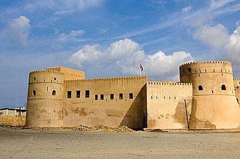
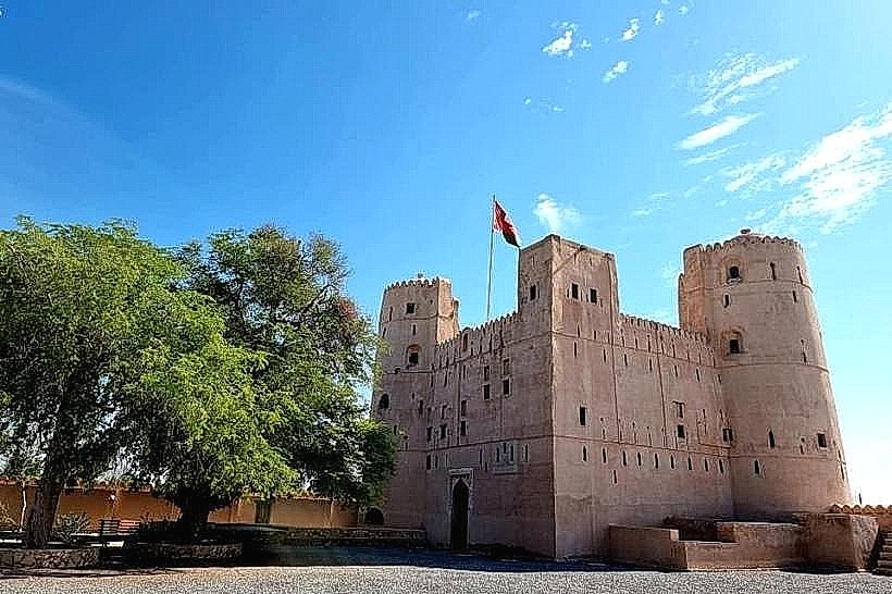
Barka Fort (18.5km South)
Al Sawadi Beach (22.0km Southwest)
Al Mouj Marina (42.0km Southeast)
An Naman Zoo (21.5km South)