Information
Landmark: Dighton Rock State ParkCity: Taunton
Country: USA Massachusetts
Continent: North America
Dighton Rock State Park, Taunton, USA Massachusetts, North America
Dighton Rock State Park is a historical site located in Taunton, Massachusetts, USA, preserving a significant petroglyph-bearing boulder.
Visual Characteristics
The central feature is Dighton Rock, a large sandstone boulder measuring approximately 4.5 meters long, 3.7 meters wide, and 1.5 meters high. Its surface is covered with numerous carved inscriptions, the exact nature and origin of which are subjects of ongoing study. The surrounding parkland consists of mixed deciduous forest with a shoreline along the Taunton River.
Location & Access Logistics
Dighton Rock State Park is situated at 175 Dighton Rock Road, Taunton, MA 02718. It is approximately 10 kilometers (6.2 miles) southeast of downtown Taunton. Access is via State Route 138 South, turning onto Dighton Rock Road. Ample parking is available on-site. Public transport options are limited; the nearest bus stops are several kilometers away from the park entrance.
Historical & Ecological Origin
The petroglyphs on Dighton Rock are believed to date back centuries, with theories suggesting Native American origins, possibly from the Wampanoag people, or potentially European explorers. The rock itself is a glacial erratic, deposited by ice sheets during the last Ice Age. The park was established to protect the rock and its inscriptions.
Key Highlights & Activities
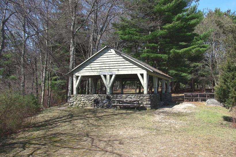
Visitors can observe the Dighton Rock, which is now housed within a protective structure. Interpretive displays provide information on the various theories surrounding the inscriptions. Walking trails are available throughout the park, offering access to the Taunton River shoreline.
Infrastructure & Amenities
Restrooms are available within the park. Limited shade is provided by the surrounding trees. Cell phone signal (4G/5G) is generally available. There are no on-site food vendors; visitors should bring their own provisions.
Best Time to Visit
The park is accessible year-round. For optimal viewing of the inscriptions, visit during daylight hours. Spring and autumn offer pleasant weather for exploring the trails. The Taunton River is subject to tidal fluctuations, but this does not directly impact access to the rock itself.
Facts & Legends
One persistent legend suggests the inscriptions were made by the lost colony of Roanoke or by Captain John Smith. However, archaeological and linguistic evidence leans towards indigenous authorship. A specific tip for visitors is to examine the rock closely under different lighting conditions, as this can reveal subtle details in the carvings.
Nearby Landmarks
- Bristol County Agricultural High School (1.5km Southwest)
- Massasoit State Park (4.0km West)
- Taunton State Hospital (4.5km Northwest)
- Watson Pond State Park (4.8km West)