Information
Landmark: Taunton RiverCity: Taunton
Country: USA Massachusetts
Continent: North America
Taunton River, Taunton, USA Massachusetts, North America
The Taunton River is a tidal estuary located in southeastern Massachusetts, flowing through the city of Taunton and surrounding towns.
It serves as a significant waterway for both ecological and historical purposes in the region.
Visual Characteristics
The river's width varies, averaging approximately 100 meters in the Taunton city section. Water color is typically brown to dark green, influenced by sediment and tidal flow. The riverbanks are characterized by a mix of marshland, deciduous trees, and urban development in populated areas. Rock formations are generally absent, with a silty or muddy riverbed.
Location & Access Logistics
The Taunton River can be accessed at multiple points within the city of Taunton. The main access point for boating is the boat ramp located at 100 Water Street, Taunton, MA 02780. This is approximately 1.5 kilometers south of the city center. Parking is available at the boat ramp facility. Public transport options to the vicinity include the SRTA Bus Line 1, which stops at the intersection of Water Street and Spring Street, a 0.5 kilometer walk from the boat ramp.
Historical & Ecological Origin
The Taunton River is a natural estuary formed by the confluence of several smaller streams and tidal action from Mount Hope Bay. Historically, it was a vital transportation route for Native American tribes and later for colonial settlers. Its primary purpose evolved from a natural resource for fishing and transport to a site for industrial development in the 19th and 20th centuries.
Key Highlights & Activities
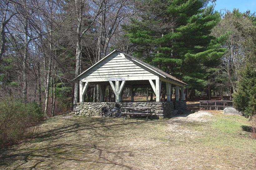
Kayaking and canoeing are possible along the river's length. Fishing is permitted, with common catches including striped bass and bluefish. Birdwatching is a popular activity, particularly in the marshy areas. Boat tours are occasionally offered during the summer months, departing from the Weir Village area.
Infrastructure & Amenities
Restrooms are available at the Water Street boat ramp facility. Shade is provided by trees along the riverbanks in undeveloped sections. Cell phone signal (4G/5G) is generally consistent along the river within the city limits. Food vendors and restaurants are located within a 1 kilometer radius of the Water Street access point.
Best Time to Visit
For photography, early morning or late afternoon offers optimal lighting conditions, particularly during spring and fall when foliage is present. The best months for general visitation are May through October, offering milder weather. Tidal charts should be consulted for boating, as low tide can limit navigation in certain sections.
Facts & Legends
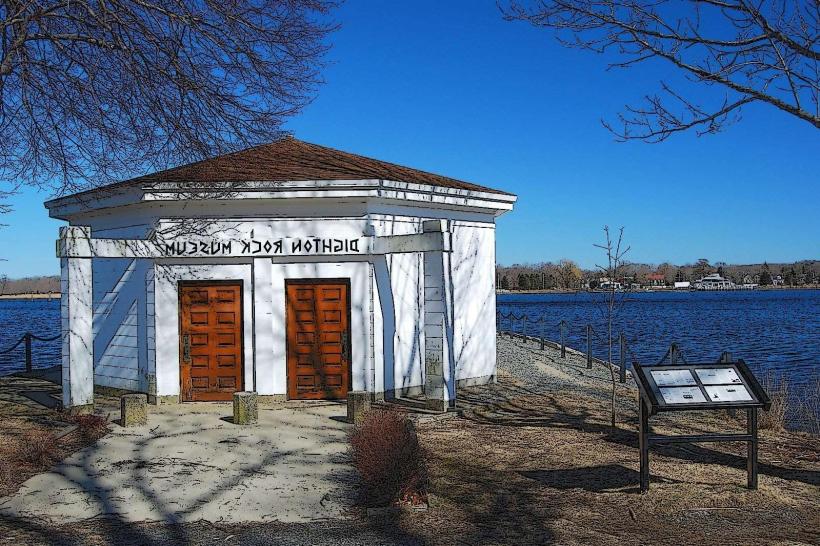
The Taunton River is recognized as an American Heritage River, acknowledging its ecological and historical significance. A local legend speaks of a spectral ship that appears on foggy nights, said to be the ghost of a colonial vessel lost in the river.
Nearby Landmarks
- Bristol County Superior Court (0.8km Northwest)
- Old Colony History Museum (1.2km North)
- Taunton Green (1.5km North)
- Bicentennial Park (1.8km Northwest)