Information
Landmark: Norton ReservoirCity: Taunton
Country: USA Massachusetts
Continent: North America
Norton Reservoir, Taunton, USA Massachusetts, North America
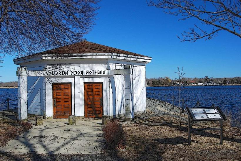
Norton Reservoir is a man-made body of water located in Norton, Massachusetts. It serves as a primary water source for several surrounding communities.
Visual Characteristics
The reservoir is characterized by its irregular shoreline, with sections of exposed rock and gravel banks. Water color varies from deep blue to greenish-brown depending on depth and sediment load. Surrounding vegetation consists of mixed deciduous and coniferous trees, with areas of dense undergrowth along the perimeter.
Location & Access Logistics
Norton Reservoir is situated approximately 5 kilometers (3.1 miles) southwest of the Taunton city center. Access is primarily via Route 44 (Winthrop Street) and then turning onto Reservoir Road. Parking is available at designated pull-offs along Reservoir Road, with limited capacity. Public transport options are not directly available to the reservoir itself; bus routes serving Taunton city center require a subsequent taxi or private vehicle for the final leg.
Historical & Ecological Origin
Norton Reservoir was constructed in 1929 by the City of Taunton to augment its water supply. The dam impounding the water is an earth-fill structure. Ecologically, it is classified as a freshwater reservoir, supporting a range of aquatic life typical of temperate freshwater systems.
Key Highlights & Activities
Activities permitted at Norton Reservoir include fishing (Massachusetts fishing license required), kayaking, and birdwatching. Designated areas along the shoreline allow for shoreline observation. No swimming or boating with internal combustion engines is permitted.
Infrastructure & Amenities
Limited amenities are present. Informational signage regarding water quality and regulations is posted at access points. Restrooms are not available. Cell phone signal (4G/5G) is intermittent and unreliable within the reservoir area. No food vendors are located directly at the reservoir; provisions should be made prior to arrival.
Best Time to Visit
For photography, early morning or late afternoon offers optimal lighting conditions due to lower sun angles. The months of April through October generally provide the most favorable weather for outdoor activities. Tidal influence is not a factor at this inland reservoir.
Facts & Legends
A local anecdote suggests that during its construction, workers discovered a pre-colonial Native American artifact, though its authenticity and current whereabouts are unverified. The reservoir's water level is actively managed, and significant fluctuations can occur based on seasonal precipitation and demand.
Nearby Landmarks
- Massasoit State Park (2.5km Southwest)
- Watson Pond State Forest (3.0km West)
- Taunton Public Library (5.0km Northeast)
- Bristol County Superior Court (4.8km Northeast)