Information
Landmark: Watson Pond State ParkCity: Taunton
Country: USA Massachusetts
Continent: North America
Watson Pond State Park, Taunton, USA Massachusetts, North America
Watson Pond State Park is a public recreation area located in Taunton, Massachusetts. It features a 49-acre pond and surrounding woodlands.
Visual Characteristics
The pond's water color varies from dark brown to green depending on sediment and algae levels. The shoreline is primarily composed of sandy and muddy substrates. Surrounding vegetation includes mixed deciduous and coniferous trees, with undergrowth typical of New England forests. The park's terrain is generally flat to gently rolling.
Location & Access Logistics
Watson Pond State Park is situated approximately 5 kilometers (3.1 miles) southeast of downtown Taunton. Access is via Route 44 (Winthrop Street). Turn south onto Watson Pond Road. Parking is available in a designated lot near the pond's edge. No public transportation routes directly serve the park entrance.
Historical & Ecological Origin
Watson Pond is a natural kettle pond, formed by glacial meltwater during the last ice age. The surrounding land was historically used for agriculture and timber harvesting before being designated as a state park in the mid-20th century to preserve its natural features and provide recreational opportunities.
Key Highlights & Activities
Activities include fishing for bass, perch, and pickerel. Swimming is permitted in designated areas during the summer season. A 1.5-mile loop trail encircles the pond, suitable for walking and birdwatching. Picnicking is available at designated sites.
Infrastructure & Amenities
Restrooms are available near the main parking area. Several picnic tables and grills are provided. Shade is available from mature trees. Cell phone signal (4G/5G) is generally present within the park boundaries. No on-site food vendors operate within the park; nearest facilities are located in Taunton.
Best Time to Visit
For fishing, early morning and late afternoon hours are most productive, particularly from April through October. For swimming, the period between Memorial Day and Labor Day offers the warmest water temperatures. Mid-morning offers the best natural light for photography of the pond and surrounding forest.
Facts & Legends
Local folklore suggests the pond's depth is considerable, though official surveys indicate a maximum depth of approximately 25 feet. A historical marker near the park entrance notes the area's past as a site for early colonial settlements.
Nearby Landmarks
- Bristol County Agricultural High School (1.2km Northwest)
- Massasoit State Park (3.5km Southwest)
- Taunton Public Library (4.8km West)
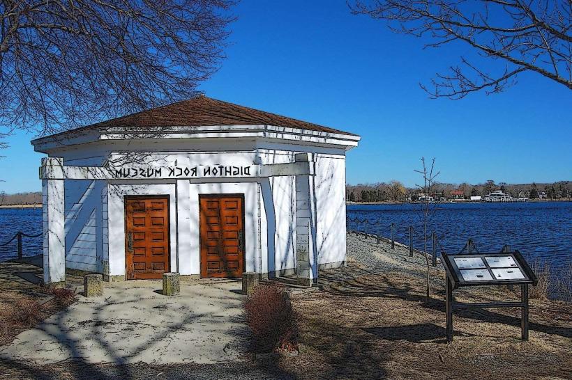
- Old Colony History Museum (5.0km West)