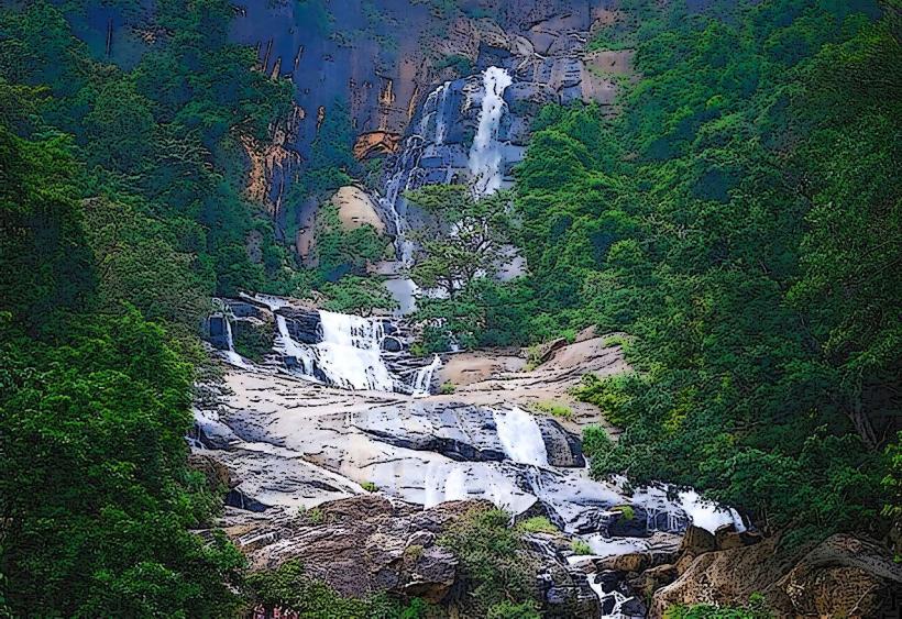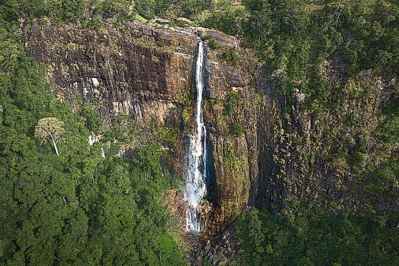
Landmark: Diyaluma Falls
City: Ella
Country: Sri Lanka
Continent: Asia
Diyaluma Falls, Ella, Sri Lanka, Asia
Diyuluma Falls is a two-tiered waterfall located in the Badulla District of Sri Lanka, near the town of Ella.
The falls descend in two distinct stages, with the upper cascade dropping approximately 100 meters and the lower cascade an additional 60 meters. The rock face is primarily composed of gneiss, a metamorphic rock. The water is clear, and the surrounding vegetation is dense tropical rainforest.
Location & Access Logistics
Diyuluma Falls is situated approximately 6 kilometers south of the town of Ella. Access is via the Colombo-Batticaloa Highway (A4). Turn off the A4 onto the road signposted for Diyaluma Falls. The final approach involves a moderate hike of approximately 1.5 kilometers from the parking area. Public transport to Ella is available via train from Colombo. From Ella town, local buses (e.g., route 340) can take visitors to the junction for Diyuluma Falls, followed by a tuk-tuk or walk.
Historical & Ecological Origin
Diyuluma Falls is a natural geological formation, part of the Koslanda Plateau. The falls are fed by the Poonagala Oya river, which originates in the surrounding highlands. The area is characterized by its high elevation and significant rainfall, contributing to the consistent flow of the falls.
Key Highlights & Activities
The primary activity is viewing the falls from the base. Swimming is possible in the plunge pool at the base of the lower cascade. Hiking to the top of the falls is permitted but requires careful navigation of the terrain. Observation points are available at both the lower and upper sections.
Infrastructure & Amenities
Basic facilities are available at the parking area, including informal food stalls selling local snacks and beverages. Restrooms are present but may be rudimentary. Cell phone signal (4G) is generally available in the vicinity of the parking area and lower falls, but can be intermittent on the trails.
Best Time to Visit
The most consistent water flow occurs during the monsoon seasons, typically from May to September and again from October to January. The late afternoon, between 3:00 PM and 5:00 PM, offers favorable lighting conditions for photography due to the angle of the sun. Avoid visiting immediately after heavy rainfall, as trails can become slippery and dangerous.
Facts & Legends
Local folklore suggests that the name "Diyuluma" translates to "a stream of light" or "waterfall of light," possibly referring to the mist generated by the falls catching the sunlight. A specific tip for visitors is to wear sturdy footwear suitable for hiking on uneven and potentially wet surfaces.
Nearby Landmarks
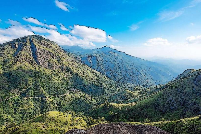
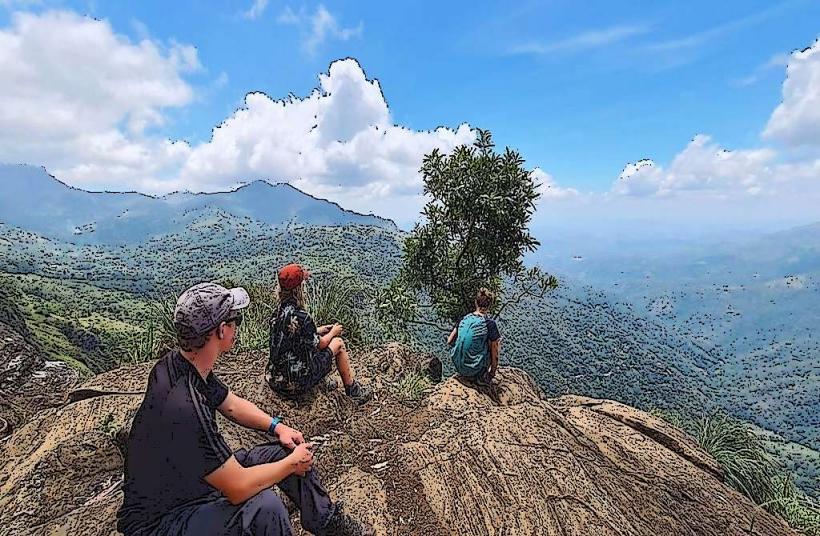
- Ella Rock (2.5km Northwest)
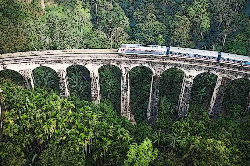
- Nine Arch Bridge (3.0km North)
- Little Adam's Peak (3.5km North)
- Ravana Falls (5.0km North)