Landmark: Ella Rock
City: Ella
Country: Sri Lanka
Continent: Asia
Ella Rock, Ella, Sri Lanka, Asia
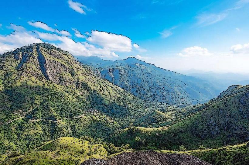
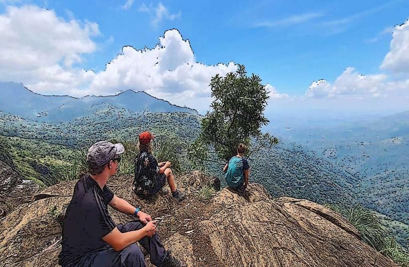
Ella Rock is a prominent geological formation situated near the town of Ella in Sri Lanka's Uva Province. It is a popular hiking destination offering panoramic views of the surrounding landscape.
Visual Characteristics
Ella Rock is composed primarily of gneiss, a metamorphic rock. Its summit is characterized by exposed rock faces and sparse vegetation, including grasses and small shrubs. The slopes are covered in dense tropical forest, predominantly tea plantations and various tree species. The elevation reaches approximately 1,038 meters (3,406 feet) above sea level.
Location & Access Logistics
The rock is located approximately 3 kilometers (1.9 miles) southwest of Ella town center. Access is typically via a hiking trail that begins near Kital Ella railway station. The trail involves walking along railway tracks for a section before diverging onto a forest path. Parking is limited at the trailhead near Kital Ella station. Public transport to Kital Ella station is available via local bus routes originating from Ella town. The nearest major airport is Bandaranaike International Airport (CMB) in Colombo, approximately 200 kilometers (124 miles) away.
Historical & Ecological Origin
Ella Rock is a natural geological formation, part of the highland massif of Sri Lanka. Its formation is attributed to tectonic uplift and erosion over millions of years. The surrounding vegetation is a mix of natural forest and cultivated tea estates, reflecting the region's agricultural history and biodiversity.
Key Highlights & Activities
The primary activity is hiking to the summit of Ella Rock. The trail offers varying terrain, including sections on railway tracks and forest paths. Reaching the summit provides expansive views of the Uva Valley, Ella Gap, and the distant coastline on clear days. Birdwatching is also possible within the forested areas.
Infrastructure & Amenities
There are no formal facilities directly on Ella Rock. Basic food and drink vendors are often found near the trailhead or in Kital Ella village. Restroom facilities are generally not available on the trail itself. Cell phone signal can be intermittent along the hiking route, particularly in denser forest sections.
Best Time to Visit
The best time for hiking is during the dry season, from December to April. Mornings offer clearer views and cooler temperatures for the ascent. Mid-morning (9:00 AM - 11:00 AM) provides good lighting for photography. The hike can be challenging during the monsoon season (May to November) due to potential rain and slippery conditions.
Facts & Legends
A local legend suggests that the rock formation resembles a sleeping giant. A practical tip for hikers is to carry sufficient water and wear sturdy footwear, as the trail can be uneven and steep in parts. Hiring a local guide is recommended for first-time visitors to navigate the trail effectively.
Nearby Landmarks
- Little Adam's Peak (1.5km Northeast)
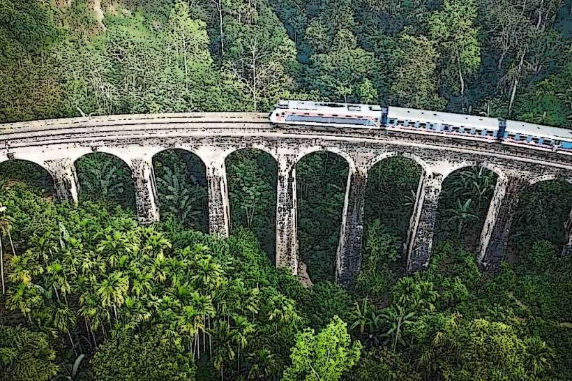
- Nine Arch Bridge (2.0km East)
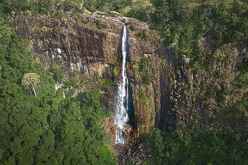
- Diyaluma Falls (15.0km Southwest)
- Adisham Bungalow (10.0km West)
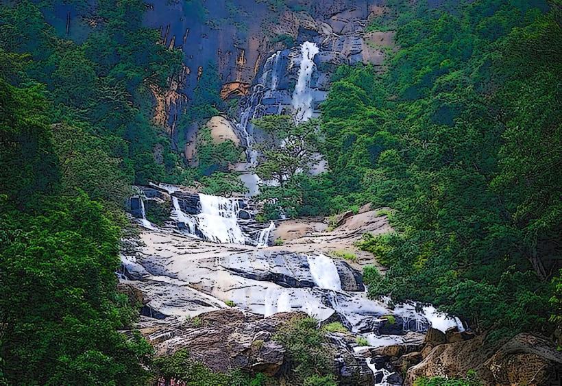
- Ravana Falls (6.0km North)