Landmark: El Barranco
City: Cuenca
Country: Ecuador
Continent: South America
El Barranco, Cuenca, Ecuador, South America
El Barranco is a geological formation and a significant urban feature located in Cuenca, Ecuador.
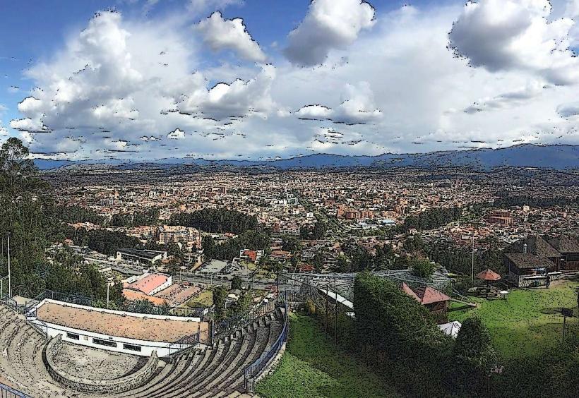
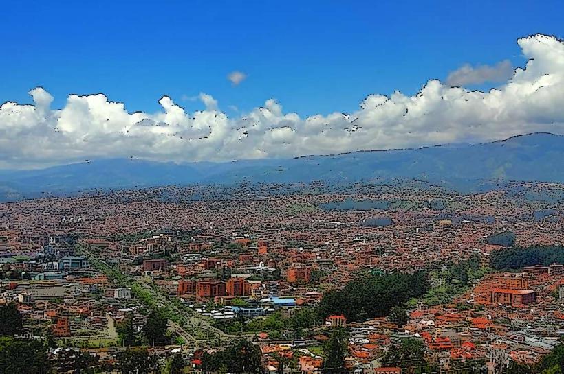
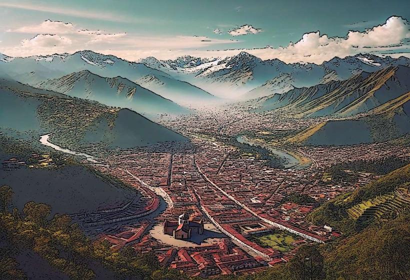
This deep ravine defines the southern edge of the historic city center.
Visual Characteristics
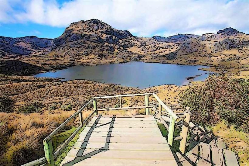
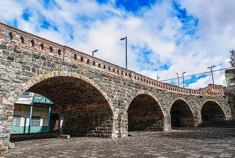
El Barranco is a steep-sided canyon carved by the Tomebamba River. The canyon walls are composed of layered sedimentary rock, exhibiting shades of brown, grey, and ochre. Vegetation, primarily shrubs and small trees, grows in crevices and along the upper edges. The Tomebamba River flows at the bottom, its water color varying from clear to a muddy brown depending on recent rainfall.
Location & Access Logistics
El Barranco is situated directly south of Cuenca's historic center. Access is primarily via pedestrian walkways and staircases descending from streets such as Calle Larga and Calle 3 de Noviembre. Several bridges, including Puente del Centenario and Puente de los Canaris, cross the ravine. Parking is available in paid lots within the historic center, approximately 0.5km North of the ravine's edge. Public transport buses serve the historic center, with stops near the main access points.
Historical & Ecological Origin
The ravine was formed by the erosive action of the Tomebamba River over millennia. Ecologically, it represents a transition zone between the urban environment and the Andean foothills. Historically, the ravine served as a natural boundary and a source of water for the indigenous Cañari and later Inca settlements. Spanish colonists established the city of Cuenca on the plateau above the ravine.
Key Highlights & Activities
Walking along the pathways on either side of the ravine offers views of the canyon and the river. Several restaurants and cafes are situated on the upper rim, providing vantage points. The "Paseo de las 7 Cascadas" (Walk of the 7 Waterfalls) trail follows the river downstream for approximately 3km, accessible from the eastern end of the ravine.
Infrastructure & Amenities
Restrooms are available in establishments along the upper rim. Shade is limited along the ravine floor, but present on the upper walkways. Cell phone signal (4G/5G) is generally good along the upper rim and in accessible parts of the ravine. Food vendors are present in the historic center, with restaurants located on the ravine's edge.
Best Time to Visit
For photography, early morning (08:00-10:00) and late afternoon (16:00-18:00) provide optimal lighting conditions on the canyon walls. The dry season, from June to September, generally offers clearer skies and lower river levels. High tide is not applicable to this geological feature.
Facts & Legends
Local legend suggests that the ravine was a sacred site for the Cañari people, used for rituals and astronomical observations. A specific tip for visitors is to look for the small, carved stone figures embedded in some of the older retaining walls along the upper walkways, remnants of past construction.
Nearby Landmarks
- Parque Calderón: 0.7km North
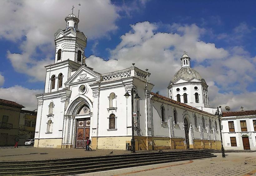
- Catedral de la Inmaculada Concepción: 0.8km North
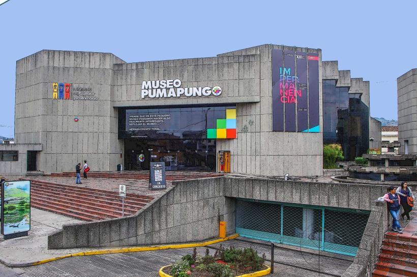
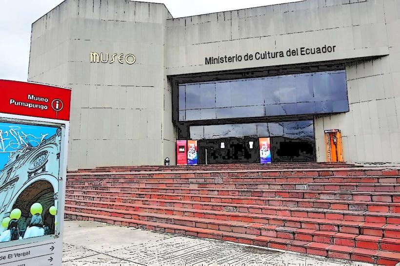
- Museo Pumapungo: 1.2km West
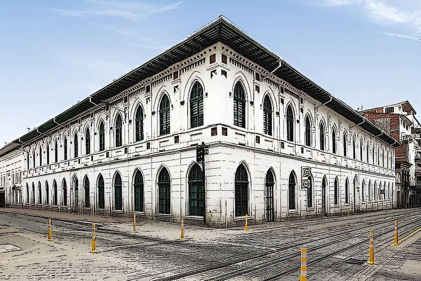
- Mercado 10 de Agosto: 0.9km North
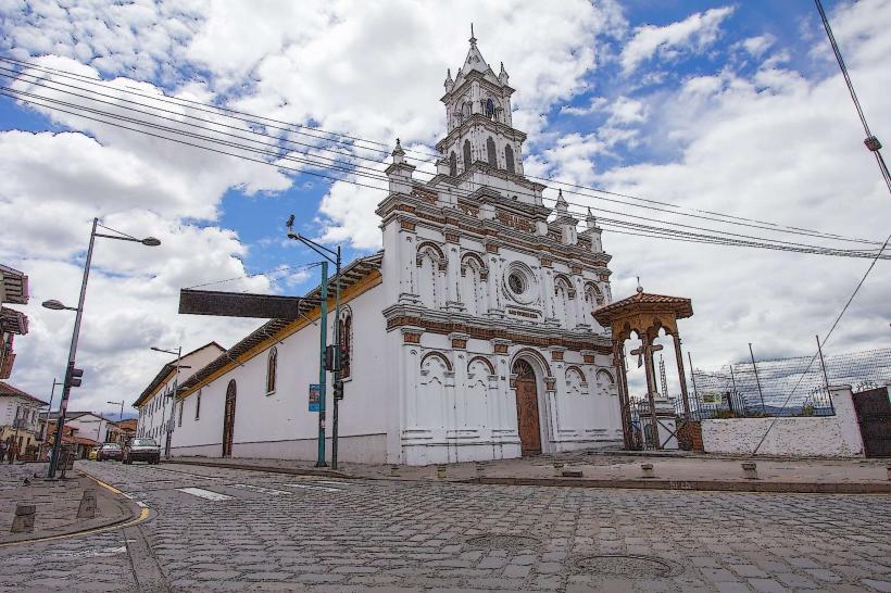
- Iglesia de Santo Domingo: 0.6km North