Landmark: Mirador de los Andes
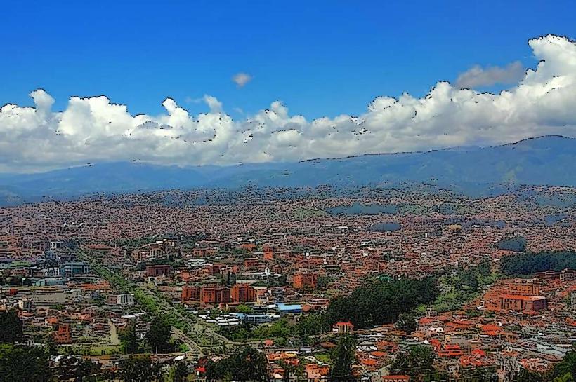
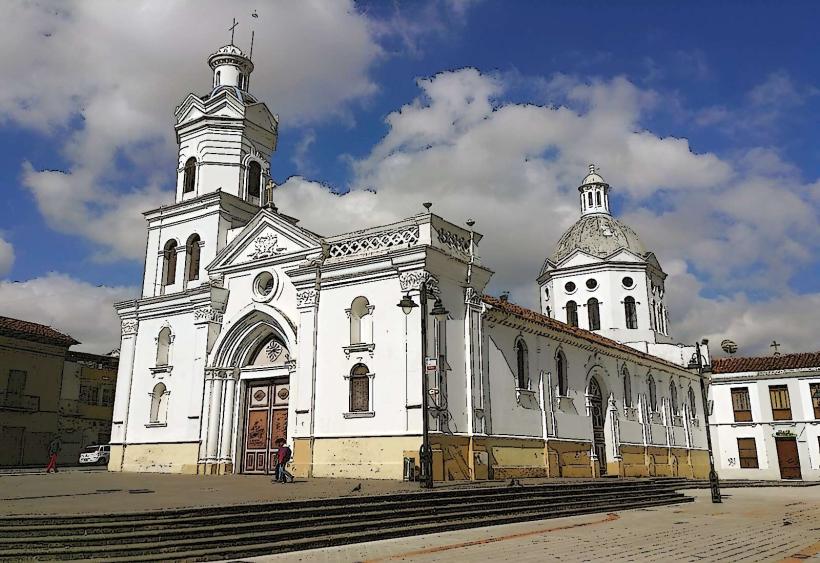
City: Cuenca
Country: Ecuador
Continent: South America
Mirador de los Andes, Cuenca, Ecuador, South America
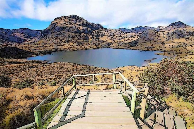
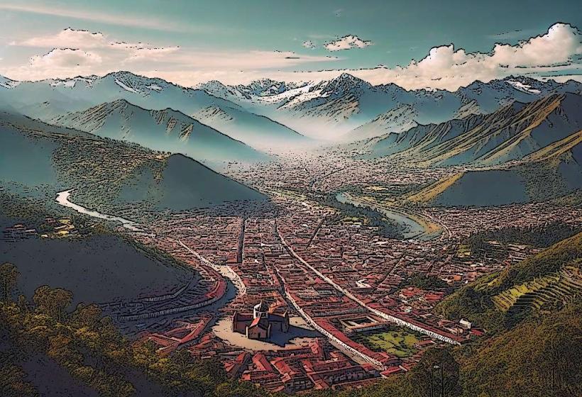
Mirador de los Andes is a viewpoint located in the Cajas National Park, approximately 25 kilometers west of Cuenca, Ecuador.
Visual Characteristics
The viewpoint is situated at an elevation of 4,160 meters (13,650 feet) above sea level. It offers panoramic views of glacial lakes, páramo grasslands, and rugged Andean peaks. The dominant geological features are exposed rock formations and low-lying, hardy vegetation adapted to high altitudes.
Location & Access Logistics
Access is via the E-15 (Ruta de los Volcanes) highway, which connects Cuenca to Guayaquil. The turn-off for the viewpoint is clearly marked. The drive from Cuenca's city center is approximately 45 minutes. Parking is available in a designated gravel lot adjacent to the viewpoint. Public transport options are limited; a private vehicle or taxi is the most direct method. Some tour operators from Cuenca include this stop on their itineraries.
Historical & Ecological Origin
The landscape is a product of glacial erosion from the Pleistocene epoch, which carved out the U-shaped valleys and numerous lakes visible from the viewpoint. The páramo ecosystem is characterized by its high-altitude grasslands and unique flora, such as frailejones (Espeletia spp.), which are adapted to extreme temperature fluctuations and high UV radiation.
Key Highlights & Activities
Observation of the glacial lakes, including Laguna Toreadora and Laguna Llaviuco, is a primary activity. Photography of the expansive Andean scenery is common. Short walks along marked trails near the viewpoint are possible, offering closer inspection of the páramo vegetation. Birdwatching for high-altitude species is also an option.
Infrastructure & Amenities
Basic restroom facilities are available at the viewpoint. There is no dedicated shade structure. Cell phone signal (4G/5G) is generally unreliable at this altitude and location. Food vendors are not present at the viewpoint itself; visitors should carry provisions.
Best Time to Visit
The best time of day for photography is typically mid-morning (9:00 AM - 11:00 AM) or late afternoon (3:00 PM - 5:00 PM) to avoid harsh midday sun and capture softer light. The dry season, from June to September, offers clearer skies and more stable weather conditions. High winds can occur year-round.
Facts & Legends
Local legends speak of ancient spirits residing in the high peaks, guarding the lakes. A specific geological oddity is the presence of moraines, visible as distinct ridges of accumulated rock and sediment left behind by receding glaciers, clearly defining the landscape's formation.
Nearby Landmarks
- Laguna Toreadora (0.2km West)
- Cajas National Park Visitor Center (1.5km West)
- Laguna Llaviuco (2.0km Southwest)
- Ruta de los Volcanes (E-15) Highway (Directly accessible)