Landmark: El Yunque
City: Baracoa
Country: Cuba
Continent: North America
El Yunque, Baracoa, Cuba, North America
El Yunque is a flat-topped mountain located near Baracoa, Cuba.
This geological formation is a significant natural landmark in the region.
Visual Characteristics
El Yunque presents a distinct mesa-like profile with steep, near-vertical sides and a flat summit. The summit plateau is covered in dense tropical vegetation, including palm trees and various endemic plant species. The rock composition is primarily sedimentary, with exposed cliff faces showing layered strata. The overall elevation reaches approximately 575 meters (1,886 feet) above sea level.
Location & Access Logistics
El Yunque is situated approximately 10 kilometers (6.2 miles) west of Baracoa. Access is via the Carretera de la Cruz (also known as the Baracoa-Maisí highway). A turn-off is marked for El Yunque, leading to a dirt road that requires a 4x4 vehicle for the final ascent to the trailhead. Public transport does not directly service the trailhead; private taxis or organized tours are the primary means of reaching the site. Parking is available at the base of the hiking trail, though it is informal and unpaved.
Historical & Ecological Origin
El Yunque is a remnant of an ancient plateau, formed by geological uplift and subsequent erosion over millions of years. Its flat summit is a result of differential erosion, where harder caprock protected the underlying softer sedimentary layers from wearing away as quickly as the surrounding terrain. Ecologically, it represents a unique microhabitat due to its elevation and isolation, supporting a distinct flora and fauna.
Key Highlights & Activities
The primary activity is hiking to the summit. The trail is approximately 4 kilometers (2.5 miles) one-way and involves significant elevation gain. Visitors can observe diverse plant life, including endemic orchids and ferns. The summit offers panoramic views of the surrounding landscape, including the Atlantic Ocean and the town of Baracoa. Swimming is possible at the base of the mountain in the Duaba River, where a waterfall and natural pools are located.
Infrastructure & Amenities
Basic facilities are available at the trailhead, including a small visitor center that sells water and snacks. Restrooms are present at the trailhead. Shade is limited on the hiking trail itself, with most cover provided by the forest canopy. Cell phone signal is generally unreliable within the park boundaries.
Best Time to Visit
The best time of day for hiking is in the morning, between 8:00 AM and 11:00 AM, to avoid the midday heat. The dry season, from December to May, offers more favorable weather conditions with less rainfall. The wet season (June to November) can result in muddy trails and increased humidity.
Facts & Legends
Local legend suggests that the distinctive shape of El Yunque resembles an anvil, hence its name. It is also said to be a sacred site for indigenous Taíno people. A specific tip for visitors is to wear sturdy hiking boots due to the uneven terrain and potential for slippery conditions, especially after rain.
Nearby Landmarks
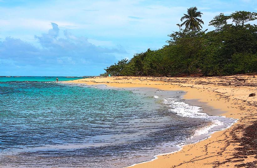
- Duaba River (0.2km East)
- Baracoa Malecon (10km East)
- Fuerte Matachín (10km East)
- Cayo Mambi (12km Northeast)
- Yumuri River Valley (15km Southwest)