Information
Landmark: Equator MarkerCity: Nanyuki
Country: Kenya
Continent: Africa
Equator Marker, Nanyuki, Kenya, Africa
The Equator Marker in Nanyuki, Kenya, is a concrete monument indicating the Earth's equator. It is situated approximately 3 kilometers north of the town center.
Visual Characteristics
The primary structure is a circular concrete platform with a diameter of approximately 5 meters. A central concrete pillar, about 1.5 meters high, stands at the exact geographical equator line. The pillar is painted white with a blue band around its base. A sign displaying "Equator" is affixed to the pillar. The surrounding area is a cleared, flat expanse of earth.
Location & Access Logistics
The marker is located 3 kilometers north of Nanyuki town along the A2 highway. Access is directly from the highway. Ample unpaved parking is available adjacent to the marker. No public transport directly serves the marker; visitors typically arrive by private vehicle or taxi from Nanyuki town.
Historical & Ecological Origin
The marker was established to denote the geographical equator. Nanyuki is situated on the Laikipia Plateau, an area characterized by semi-arid savanna grassland at an altitude of approximately 1,995 meters (6,545 feet) above sea level.
Key Highlights & Activities
Visitors can stand on the equator line. Demonstrations of the Coriolis effect are often performed by local attendants, showing water draining in opposite directions on either side of the equator. Photography at the marker is a common activity.
Infrastructure & Amenities
Basic amenities include a small souvenir shop and a restroom facility. Shade is limited to the area provided by the souvenir shop. Cell phone signal (4G) is generally available.
Best Time to Visit
The best time of day for photography is mid-morning or late afternoon to avoid harsh overhead sunlight. The weather in Nanyuki is generally dry and mild year-round, with slightly cooler temperatures during the months of June to August.
Facts & Legends
A common demonstration involves pouring water into a basin and observing its drainage pattern. On the equator, water drains straight down. A few meters north, it drains clockwise. A few meters south, it drains counter-clockwise, illustrating the Coriolis effect. Local attendants are typically present to perform this demonstration.
Nearby Landmarks
- Ol Pejeta Conservancy (15km Southwest)
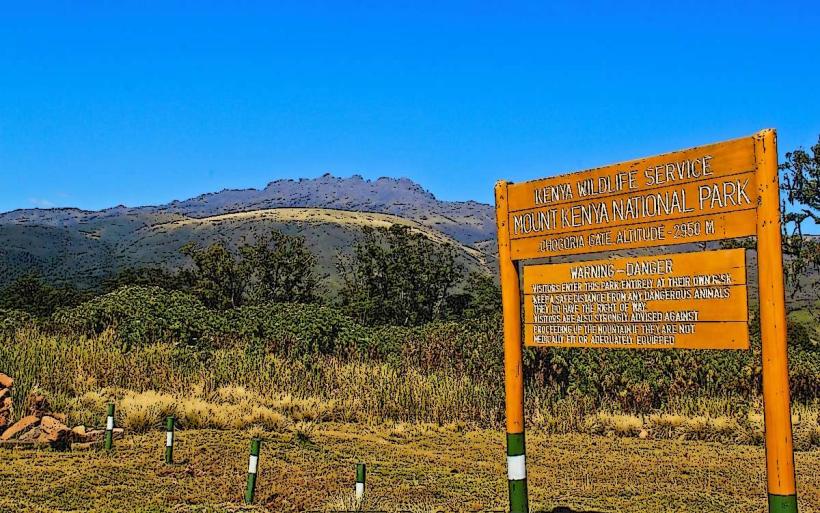
- Mount Kenya National Park (30km Southeast)
- Nanyuki Airfield (4km South)
- Rumuruti Town (35km Northwest)