Information
Landmark: Ngare Ndare ForestCity: Nanyuki
Country: Kenya
Continent: Africa
Ngare Ndare Forest, Nanyuki, Kenya, Africa
Ngare Ndare Forest is a protected indigenous forest located in Laikipia County, Kenya, south of Nanyuki.
Visual Characteristics
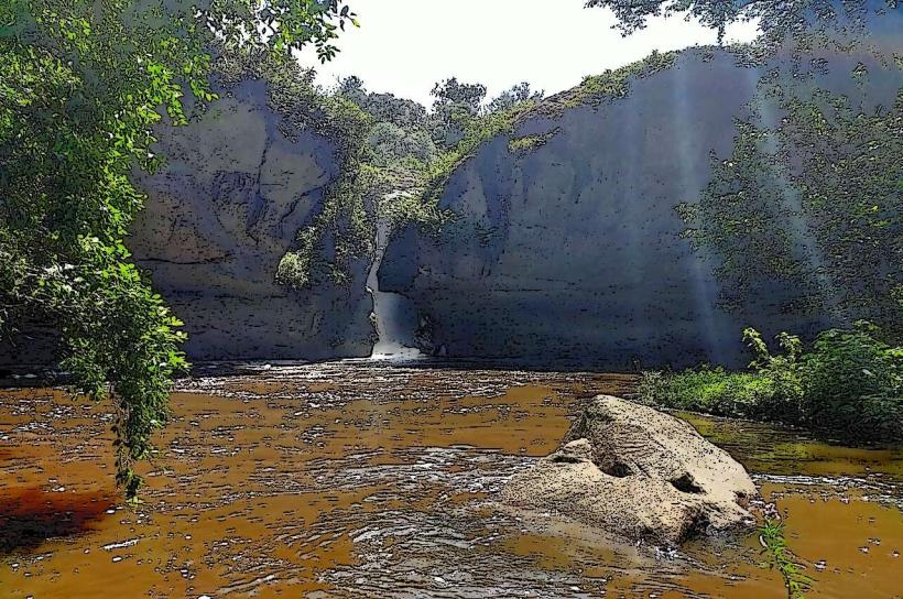
The forest canopy is dense, primarily composed of indigenous trees such as Olea africana and Croton macrostachyus. A significant feature is the Ngare Ndare River, which flows through the forest, characterized by clear, cool water and a sandy riverbed. The forest floor exhibits moderate undergrowth. The forest's elevation ranges from approximately 1,800 to 2,000 meters above sea level.
Location & Access Logistics
Ngare Ndare Forest is situated approximately 30 kilometers north of Nanyuki town. Access is via the A2 highway, turning off onto a well-maintained dirt road (often referred to as the "Forest Road") for the final 10 kilometers. The road is generally passable for 2WD vehicles in dry conditions; 4WD is recommended during the rainy season. Parking is available at the forest entrance. Public transport to Nanyuki is available via bus services from Nairobi. From Nanyuki, private taxis or pre-arranged transport are the primary options for reaching the forest entrance.
Historical & Ecological Origin
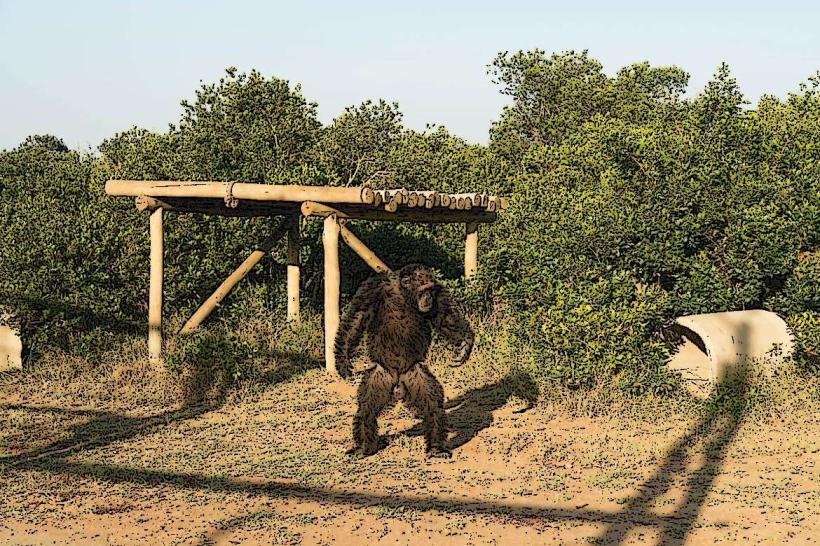
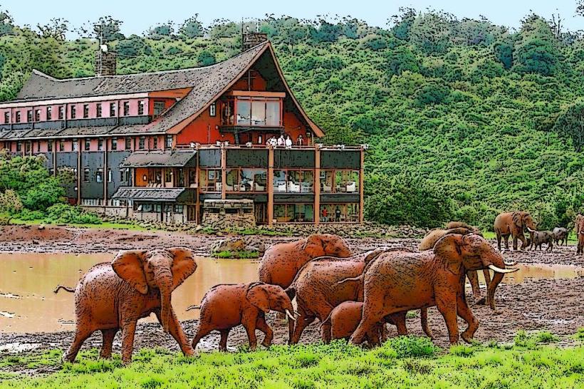
Ngare Ndare Forest is an indigenous forest ecosystem that has been managed by the Ngare Ndare Forest Trust since 2004. Its ecological significance lies in its role as a vital wildlife corridor connecting Mount Kenya National Park to the Lewa Wildlife Conservancy. The forest is classified as a montane forest, supporting a diverse range of flora and fauna, including elephants, leopards, and various bird species. The Ngare Ndare River is a perennial water source originating from the Aberdare Range.
Key Highlights & Activities
Activities include walking the forest trails, observing wildlife, and swimming in the natural pools formed by the Ngare Ndare River. A canopy walkway, approximately 40 meters long and 10 meters high, offers elevated views of the forest. Guided forest walks are available, focusing on identifying plant species and animal tracks. Birdwatching is a prominent activity due to the forest's avian diversity.
Infrastructure & Amenities
Basic facilities are available at the forest entrance, including restrooms and a small reception area. Shade is abundant throughout the forest due to the dense tree cover. Cell phone signal (4G) is intermittent within the forest but generally available at the entrance. No food vendors are located within the forest; visitors are advised to carry their own provisions. Picnic sites are designated near the river pools.
Best Time to Visit
The best time for wildlife viewing is during the dry seasons, from June to October and December to March. The forest is accessible year-round, though the rainy seasons (April-May and November) can make the access road challenging. For photography, early morning and late afternoon offer optimal lighting conditions due to the forest canopy. The river pools are suitable for swimming throughout the year, with water temperatures remaining consistently cool.
Facts & Legends
The forest is a critical migratory route for elephants moving between Mount Kenya and the northern conservancies. Local folklore suggests the Ngare Ndare River's clear waters have healing properties. A specific tip for visitors is to wear sturdy footwear suitable for uneven terrain and to carry insect repellent, as mosquitoes can be present, particularly near the river.
Nearby Landmarks
- Lewa Wildlife Conservancy (10km North)
- Borana Conservancy (12km North-West)
- Mount Kenya National Park (35km South)
- Ol Malo (15km West)
- Nanyuki Town (30km South)