Landmark: Flaming Gorge National Recreation Area
City: Rock Springs
Country: USA Wyoming
Continent: North America
Flaming Gorge National Recreation Area, Rock Springs, USA Wyoming, North America
Flaming Gorge National Recreation Area is a federally managed area located in northeastern Utah and southwestern Wyoming. It encompasses the Flaming Gorge Reservoir, a large man-made lake.
Visual Characteristics
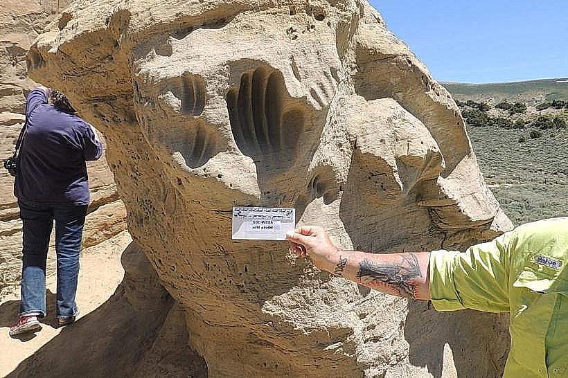
The reservoir's water color varies from deep blue to emerald green depending on depth and light conditions. The surrounding landscape consists of steep, multi-colored sandstone cliffs, primarily in shades of red, orange, and tan. Vegetation is sparse, dominated by sagebrush, juniper, and scattered ponderosa pine at higher elevations.
Location & Access Logistics
The Wyoming portion of Flaming Gorge is accessible via U.S. Route 191. The nearest major city is Rock Springs, Wyoming, approximately 50 miles northeast of the reservoir's northern end. Several developed campgrounds and boat launch facilities are located along the shoreline. Parking is available at designated access points and visitor centers. Public transport is not available to the recreation area.
Historical & Ecological Origin
Flaming Gorge Reservoir was created by the construction of the Flaming Gorge Dam on the Green River. The dam was authorized by the Colorado River Storage Project Act of 1956 and completed in 1964. The reservoir's formation flooded the canyon, altering the natural river ecosystem. The surrounding geology is part of the Colorado Plateau, characterized by sedimentary rock formations dating back millions of years.
Key Highlights & Activities
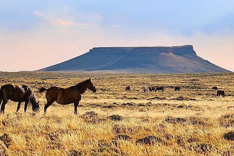
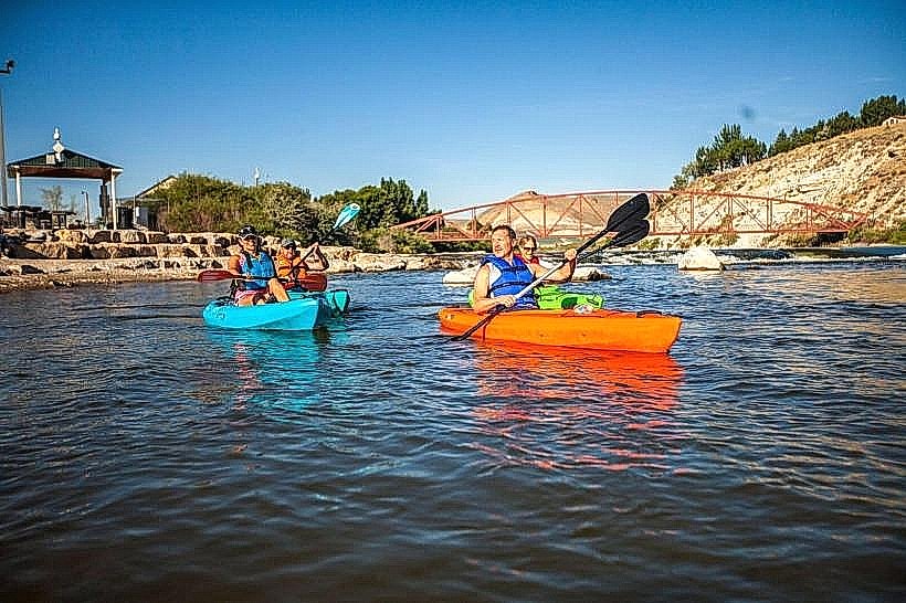
Activities include boating, fishing for species such as rainbow trout, lake trout, and kokanee salmon, and waterskiing. Hiking trails are available, including the Canyon Rim Trail which offers views of the dam and reservoir. Rock climbing is possible on designated cliffs. Wildlife viewing, particularly of bighorn sheep and pronghorn, is common.
Infrastructure & Amenities
Restrooms are available at developed campgrounds and visitor centers. Shade structures are present at some picnic areas. Cell phone signal is intermittent and generally unavailable in remote areas of the recreation area. Limited food services and convenience stores are located near the dam and at the town of Dutch John, Utah.
Best Time to Visit
The best months for visiting are May through October, when weather conditions are most favorable for outdoor activities. Summer months (June-August) offer the warmest water temperatures for swimming and boating. Early morning and late afternoon provide optimal lighting for photography of the colorful rock formations.
Facts & Legends
The name "Flaming Gorge" was given by John Wesley Powell in 1869 due to the intense red light reflected from the canyon walls at sunset. A specific tip for visitors is to check the water levels and dam release schedule, as this can affect boating conditions and shoreline access.
Nearby Landmarks
- Red Canyon Visitor Center (0.8km West)
- Flaming Gorge Dam (1.2km Southwest)
- Antelope Flat Road (3.5km North)
- Sheep Creek Geological Loop (4.8km Southwest)