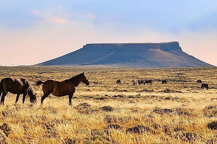
Landmark: Pilot Butte Wild Horse Scenic Loop
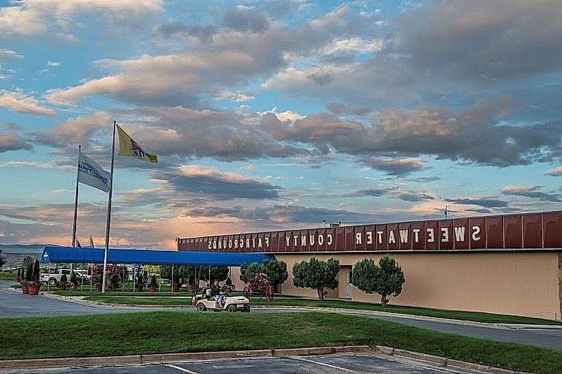
City: Rock Springs
Country: USA Wyoming
Continent: North America
Pilot Butte Wild Horse Scenic Loop, Rock Springs, USA Wyoming, North America
Pilot Butte Wild Horse Scenic Loop is a designated driving route in Sweetwater County, Wyoming, USA. It provides access to a landscape known for its wild horse populations and geological features.
Visual Characteristics
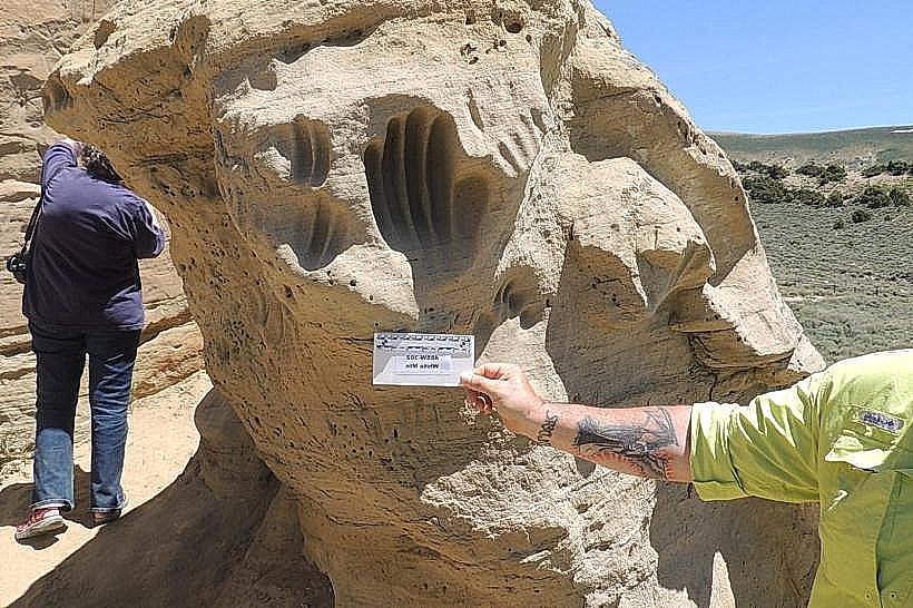
The loop traverses high desert terrain characterized by sagebrush steppe, rolling hills, and exposed sedimentary rock formations. Elevations range from approximately 6,300 to 6,800 feet. The dominant vegetation consists of low-lying shrubs and grasses. Rock outcrops display layered strata of tan, brown, and grey hues.
Location & Access Logistics
The scenic loop is located approximately 15 miles west of Rock Springs, Wyoming. Access is via Interstate 80 (I-80) at Exit 135, which leads to Wyoming State Highway 430 (WYO 430). The loop itself is a gravel road, approximately 25 miles in length, branching off WYO 430. No public transport services this area. Parking is available at designated pull-offs along the loop. The road surface can be rough and is not recommended for low-clearance vehicles, especially after precipitation.
Historical & Ecological Origin
The geological formations are primarily Eocene epoch sedimentary deposits, indicative of ancient lakebeds and river systems. The area is managed by the Bureau of Land Management (BLM) and is part of the larger Red Desert, a significant region for wild horse herds, including the famous Checkerboard herd.
Key Highlights & Activities
Wildlife Observation: Primary activity is viewing wild horses in their natural habitat. Binoculars are recommended. Geological Observation: Examination of exposed rock layers and landforms. Photography: Opportunities for landscape and wildlife photography, particularly during sunrise and sunset.
Infrastructure & Amenities
No developed infrastructure exists along the loop. Restrooms, potable water, and food services are not available. Cell phone signal is intermittent to non-existent. Shade is minimal, provided only by natural rock overhangs in limited locations.
Best Time to Visit
Time of Day: Early morning (6:00 AM - 9:00 AM) and late afternoon (4:00 PM - 7:00 PM) offer optimal lighting for photography and increased likelihood of observing wildlife. Months: May through October provide the most stable weather conditions. Winter months can bring snow and ice, making the gravel road impassable.
Facts & Legends
The "Checkerboard" designation refers to a unique land ownership pattern in this region, where alternating sections of land are federally owned and privately owned, a result of historical railroad land grants. This pattern impacts grazing rights and management of wild horse populations.
Nearby Landmarks
- Pilot Butte State Park (0.8km East)
- Flaming Gorge National Recreation Area (45km Southwest)
- Green River (20km East)
- Killpecker Sand Dunes (30km Northwest)