Landmark: Rock Springs Coal Arch
City: Rock Springs
Country: USA Wyoming
Continent: North America
Rock Springs Coal Arch, Rock Springs, USA Wyoming, North America
The Rock Springs Coal Arch is a geological formation located in Rock Springs, Wyoming, USA.
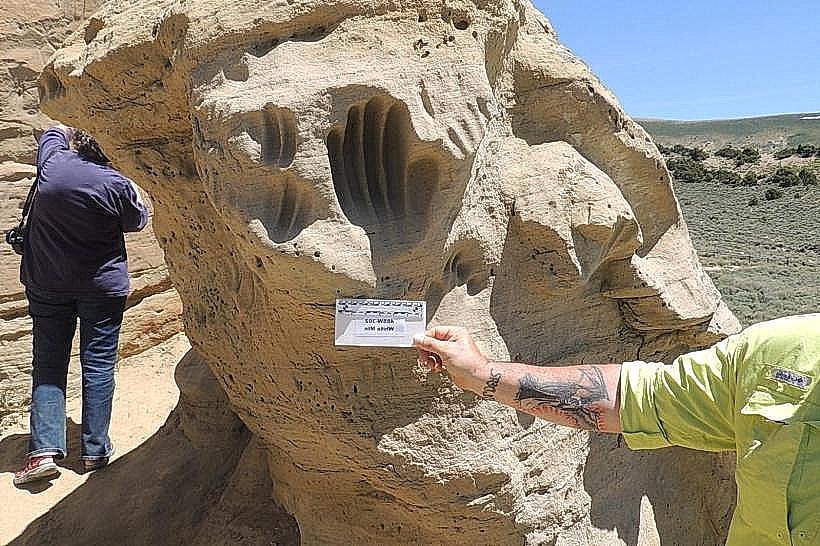
This natural arch is composed of sandstone and exhibits a reddish-brown coloration.
Visual Characteristics
The arch spans approximately 15 meters in width and 8 meters in height. Its surface is characterized by layered sandstone, showing evidence of differential erosion. The surrounding vegetation is sparse, consisting primarily of sagebrush and native grasses.
Location & Access Logistics
The Rock Springs Coal Arch is situated 8 kilometers west of the Rock Springs city center. Access is via Interstate 80, taking Exit 135 (Rock Springs West). Follow County Road 17 (also known as the old highway) for approximately 3 kilometers. A gravel access road, suitable for most passenger vehicles, branches off to the north for 0.5 kilometers, leading to a small, unimproved parking area. No public transport services this location.
Historical & Ecological Origin
The arch is a product of aeolian erosion, formed over millennia by wind-blown sand and subsequent weathering of the sandstone layers. It is part of the larger geological formations characteristic of the Green River Basin.
Key Highlights & Activities
Observation of the arch's structure is the primary activity. Visitors can walk around the base of the formation. Photography is possible from multiple angles. No specific trails are designated, but exploration of the immediate vicinity is permitted.
Infrastructure & Amenities
There are no facilities at the Rock Springs Coal Arch. Restrooms, shade, food vendors, and cell phone signal are not available at the site. Visitors should come prepared with water and appropriate sun protection.
Best Time to Visit
For optimal lighting conditions for photography, early morning or late afternoon is recommended, when the sun's angle casts shadows that highlight the arch's texture. The months of May through October offer the most favorable weather, with lower precipitation and milder temperatures.
Facts & Legends
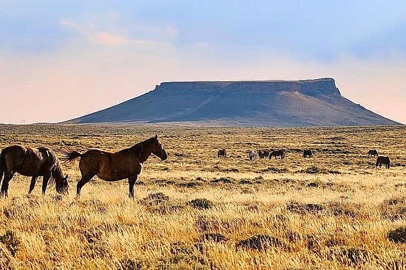
Local folklore suggests the arch was a meeting point for Native American tribes in the region. Geologically, similar formations in the area have been dated to the Eocene epoch.
Nearby Landmarks
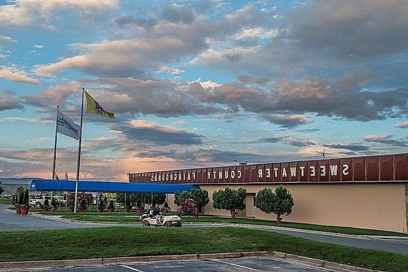
- Sweetwater County Historical Museum (3.5km East)
- Rock Springs City Park (4.0km East)
- Pilot Butte State Scenic Viewpoint (4.8km Southwest)