Landmark: Fogland Beach
City: Tiverton
Country: USA Rhode Island
Continent: North America
Fogland Beach, Tiverton, USA Rhode Island, North America
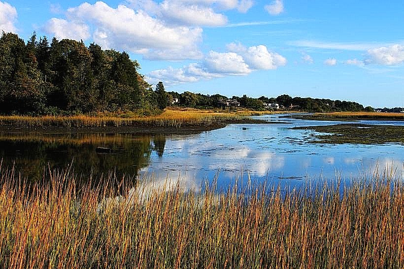
Fogland Beach is a public access coastal area located in Tiverton, Rhode Island. It is situated on the eastern shore of Narragansett Bay.
Visual Characteristics
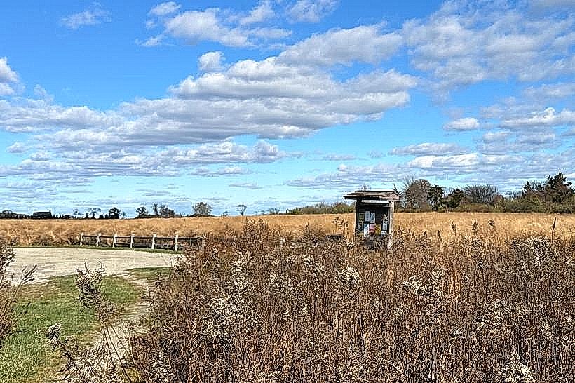
The beach consists of coarse sand and gravel. The shoreline is approximately 0.5 kilometers long. Rocky outcrops are present at the northern and southern ends of the beach. The water color is typically a muted blue-grey, influenced by bay conditions. Vegetation is sparse, consisting primarily of dune grasses.
Location & Access Logistics
Fogland Beach is located at the end of Fogland Road in Tiverton, RI. It is approximately 8 kilometers south of the Tiverton town center. Access is via RI-177 East (Main Road) to RI-138 East, then turning south onto Fogland Road. A small, unpaved parking lot is available at the beach entrance, with capacity for approximately 30 vehicles. There are no public transport routes directly serving Fogland Beach.
Historical & Ecological Origin
Fogland Beach is a natural accumulation of sediment and glacial till deposited along the coastline. It is part of the coastal plain ecosystem of Rhode Island, characterized by estuarine influences from Narragansett Bay.
Key Highlights & Activities
Activities include beachcombing, birdwatching, and fishing. Kayaking and paddleboarding are possible, particularly during calmer bay conditions. No designated swimming areas or lifeguard services are provided.
Infrastructure & Amenities
A small, seasonal portable restroom facility is typically available from Memorial Day to Columbus Day. There are no permanent structures, picnic tables, or food vendors on-site. Cell phone reception (4G/5G) is generally available.
Best Time to Visit
For photography, early morning or late afternoon light offers optimal conditions. The months of June through September provide the warmest weather. Tidal conditions do not significantly impact beach access, but calm bay waters are more conducive to water activities.
Facts & Legends
Local lore suggests the beach's name originates from the frequent fog that rolls in from the bay, obscuring visibility. Historically, the area was used by local fishermen for launching small boats.
Nearby Landmarks
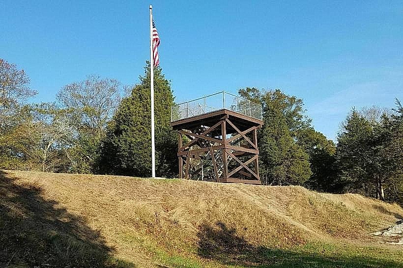
- Fort Barton Historical Site (2.5km North)
- Gould Island (3.0km West, across the bay)
- Sachuest Point National Wildlife Refuge (4.0km South)
- Easton's Beach (4.5km Southwest)