Landmark: Seapowet Marsh Preserve
City: Tiverton
Country: USA Rhode Island
Continent: North America
Seapowet Marsh Preserve, Tiverton, USA Rhode Island, North America
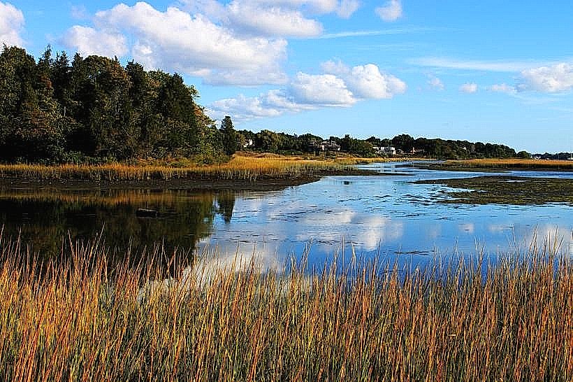
Seapowet Marsh Preserve is a coastal wetland located in Tiverton, Rhode Island, USA.
This preserve encompasses approximately 100 acres of salt marsh, tidal flats, and upland areas.
Visual Characteristics
The marsh is characterized by dense stands of smooth cordgrass and salt hay. Tidal creeks dissect the marsh, exhibiting varying water depths and salinity. Upland areas consist of scrub shrub and mixed deciduous forest. The coastline features a mix of sand and gravel beaches.
Location & Access Logistics
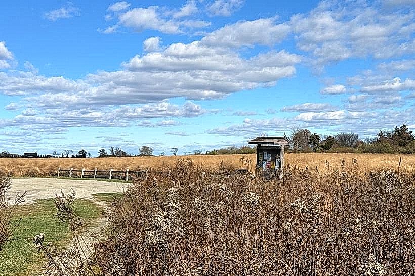
Seapowet Marsh Preserve is situated at the southern end of Tiverton, approximately 8 kilometers south of the Tiverton town center. Access is via Seapowet Avenue, which leads to a small gravel parking area with capacity for approximately 15 vehicles. No public transportation services directly reach the preserve entrance.
Historical & Ecological Origin
The marsh is a natural estuarine system formed by the interaction of tidal flows from the Atlantic Ocean and freshwater runoff. Its ecological significance lies in its role as a nursery ground for marine life and a habitat for migratory birds. Historically, the area was utilized for salt hay harvesting.
Key Highlights & Activities
Birdwatching is a primary activity, with opportunities to observe shorebirds, waterfowl, and wading birds. Hiking is permitted on designated trails through the upland areas. Kayaking and canoeing are possible within the tidal creeks during high tide periods.
Infrastructure & Amenities
A small, unpaved parking area is available. No restrooms or potable water facilities are present within the preserve. Cell phone reception is intermittent. Limited food vendors are located in the town of Tiverton, approximately 8 kilometers away.
Best Time to Visit
For birdwatching, early morning and late afternoon offer optimal viewing conditions. The best months for visiting are typically April through October, avoiding the harshest winter weather. High tide is recommended for water-based activities.
Facts & Legends
Seapowet Point, adjacent to the marsh, is known for its geological interest, featuring exposed bedrock formations. Local folklore mentions the area as a former site for clandestine meetings during colonial times.
Nearby Landmarks
- Sachuest Point National Wildlife Refuge (3.2km West)
- Easton's Beach (4.5km West)
- Fort Adams State Park (6.1km Southwest)
- Norman Bird Sanctuary (4.8km West)