Landmark: Weetamoo Woods
City: Tiverton
Country: USA Rhode Island
Continent: North America
Weetamoo Woods, Tiverton, USA Rhode Island, North America
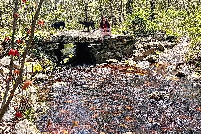
Weetamoo Woods is a protected forest area located in Tiverton, Rhode Island. It encompasses approximately 220 acres of mixed woodland and wetland habitats.
Visual Characteristics
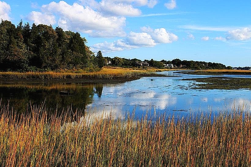
The terrain consists of deciduous and coniferous trees, including oak, maple, and pine species. The forest floor is covered with leaf litter and undergrowth. Several small streams and marshy areas are present within the woods. Rock outcroppings are visible in certain sections.
Location & Access Logistics
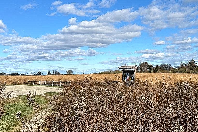
Weetamoo Woods is situated approximately 3 miles southwest of the Tiverton town center. Access is primarily from the parking area located off East Road. From RI Route 24, take Exit 1 for RI Route 177 East (East Main Road). Continue on East Main Road for approximately 1.5 miles, then turn right onto East Road. The parking lot is on the left after approximately 0.5 miles. Public transportation options are limited; the nearest bus route stops several miles from the entrance.
Historical & Ecological Origin
The land was historically part of agricultural holdings before being acquired and preserved as a conservation area. Ecologically, it represents a typical coastal plain forest ecosystem, supporting a variety of flora and fauna adapted to the region's climate and soil conditions. The wetlands are important for local hydrology and biodiversity.
Key Highlights & Activities
Hiking is the primary activity. The park features a network of marked trails, including the main loop trail which is approximately 2.5 miles long. Birdwatching is possible throughout the year. Photography of the natural landscape is also a common pursuit.
Infrastructure & Amenities
A gravel parking lot is available at the East Road entrance. There are no restroom facilities or designated picnic areas within the woods. Cell phone signal is intermittent and generally poor within the forest interior.
Best Time to Visit
For hiking, the months of April through October offer the most favorable weather. Spring (April-May) provides opportunities to observe wildflowers. Autumn (September-October) offers fall foliage. Early morning or late afternoon provides the best natural light for photography.
Facts & Legends
The name "Weetamoo" refers to a sachem of the Pocasset tribe who led her people during King Philip's War in the 17th century. Local lore suggests that the area holds historical significance related to indigenous trails and encampments, though specific archaeological evidence is not publicly detailed.
Nearby Landmarks
- Tiverton Town Hall (2.5km Northwest)
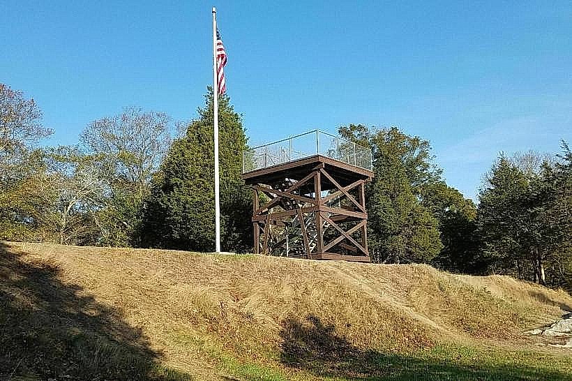
- Fort Barton (3.0km West)
- East Branch of the Sakonnet River (1.5km East)
- Gould Island (4.0km South, across water)