Landmark: Fort Barton
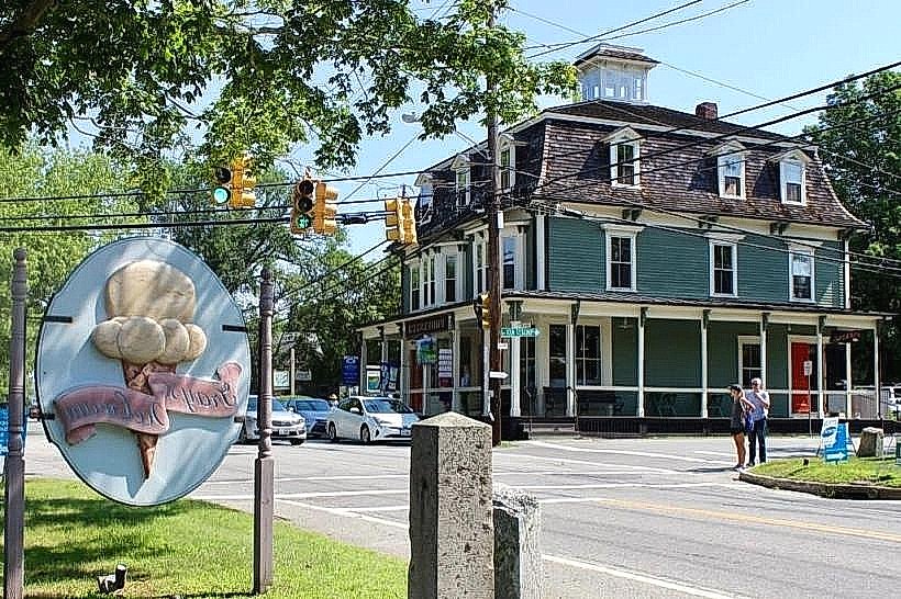
City: Tiverton
Country: USA Rhode Island
Continent: North America
Fort Barton, Tiverton, USA Rhode Island, North America
Fort Barton is a historic earthwork fortification located in Tiverton, Rhode Island. It played a role in American military history.
Visual Characteristics
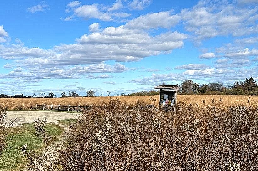
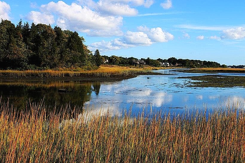
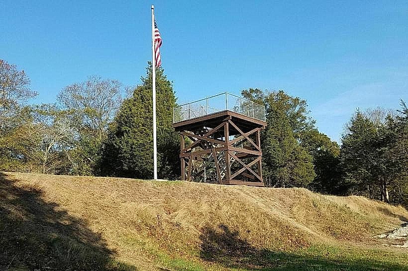
The site consists of earth ramparts and trenches, remnants of its original defensive structure. Vegetation, primarily grass and trees, covers the earthworks. The highest point of the fort offers a view of the Sakonnet River.
Location & Access Logistics
Fort Barton is situated at 1193 Main Road, Tiverton, RI 02878. It is approximately 3.2 kilometers (2 miles) south of the Tiverton town center. Access is via Main Road (Route 138). Parking is available at the fort's designated lot. No public transport directly serves the fort; bus routes operate along Main Road but require a walk to the site.
Historical & Ecological Origin
The fort was constructed in 1775 by American militia during the Revolutionary War. Its primary purpose was to defend the Sakonnet River passage against British naval forces. The earthworks were later modified and occupied by Union troops during the Civil War.
Key Highlights & Activities
Visitors can walk along the remaining earth ramparts. Interpretive signage details the fort's history. Observation points provide views of the surrounding area. Hiking trails are present within the fort grounds.
Infrastructure & Amenities
Restrooms are available on-site. Limited shade is provided by mature trees. Cell phone signal (4G/5G) is generally available. No food vendors are located directly at the fort; options are available in Tiverton center.
Best Time to Visit
For photography, late afternoon light offers favorable illumination on the earthworks. Spring and autumn provide moderate temperatures for outdoor exploration. No tide-dependent activities are associated with the fort.
Facts & Legends
During the Civil War occupation, a cannon was reportedly fired from the fort to signal the end of the war, though historical verification is debated.
Nearby Landmarks
- Tiverton Town Hall (1.5km North)
- Sakonnet River Bridge (2.0km West)
- Garry's Beach (2.5km Southwest)
- East Branch of the Pawtuxet River (4.0km Northwest)