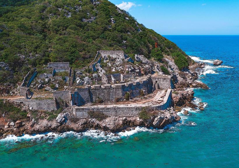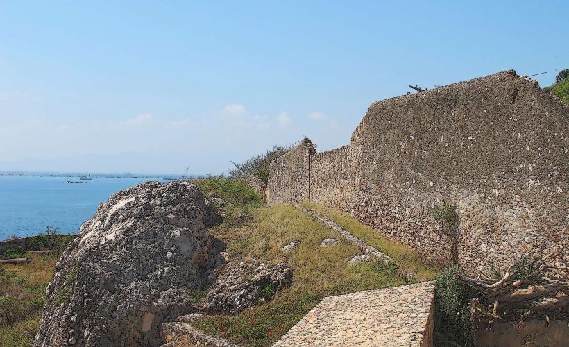
Landmark: Fort Carenage
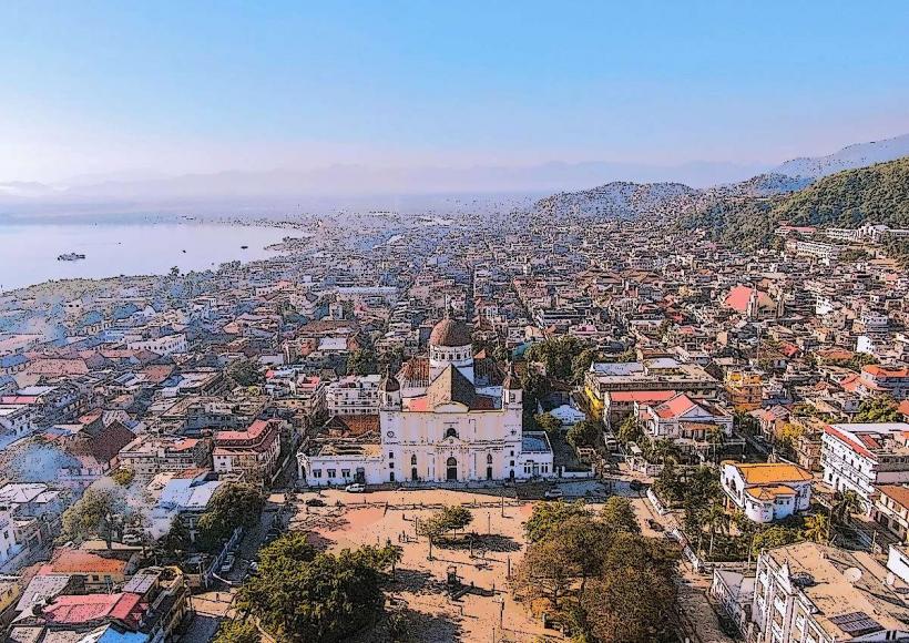
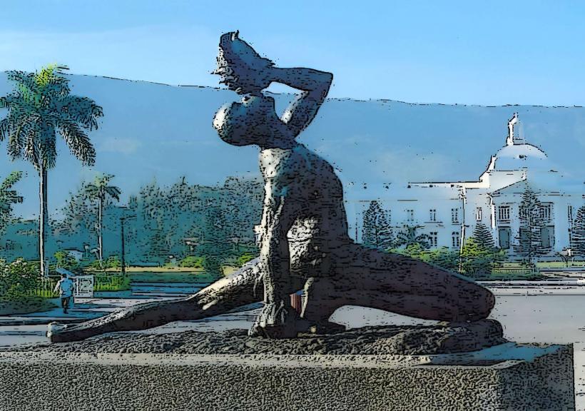
City: Cap Haitien
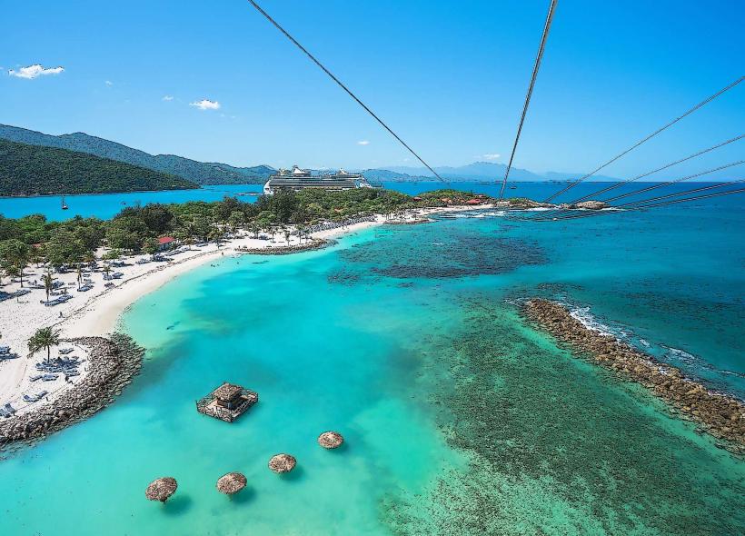
Country: Haiti
Continent: North America
Fort Carenage, Cap Haitien, Haiti, North America
Fort Carenage is a historical fortification situated on a hill overlooking the city of Cap Haitien, Haiti.
This defensive structure was designed to protect the harbor and the city from naval attacks.
Visual Characteristics
The fort is constructed primarily from cut stone blocks, exhibiting a weathered grey appearance. Its walls are substantial, with visible crenellations and bastions. The structure follows a rectilinear plan, typical of colonial-era fortifications, with a central courtyard. Its elevation provides a commanding view of the surrounding bay.
Location & Access Logistics
Fort Carenage is located approximately 2 kilometers south of the Cap Haitien city center. Access is via Route Nationale 1 (RN1) heading south, then turning east onto a local unpaved road leading uphill. Parking is available on-site, though it is unpaved and can become muddy after rain. Public transport to the base of the hill is available via local tap-taps (shared taxis), with a final ascent requiring a walk or a hired motorcycle taxi.
Historical & Ecological Origin
Construction of Fort Carenage began in 1799 under the direction of French colonial authorities. Its primary purpose was to serve as a military defense post to safeguard the lucrative port of Cap Haitien, then a major hub for sugar and coffee exports. The site itself is a natural elevation of limestone bedrock.
Key Highlights & Activities
Exploration of the fort's ramparts and interior structures is possible. Visitors can observe the strategic placement of cannons (though none are original). The primary activity is surveying the panoramic views of Cap Haitien and the Caribbean Sea from the elevated position.
Infrastructure & Amenities
There are no formal restrooms or shade structures within the fort. Cell phone signal (2G/3G) is generally available. No food vendors operate directly at the fort; provisions should be acquired in Cap Haitien prior to arrival.
Best Time to Visit
The best time of day for photography is mid-morning or late afternoon to avoid harsh overhead sunlight and capture the bay with optimal lighting. The dry season, from November to April, offers the most reliable weather conditions for access and exploration.
Facts & Legends
A local legend suggests that during periods of siege, the fort's defenders would lower baskets filled with stones to deter approaching enemy boats, a tactic that earned it its name, referencing the act of "caring" or holding back the enemy.
Nearby Landmarks
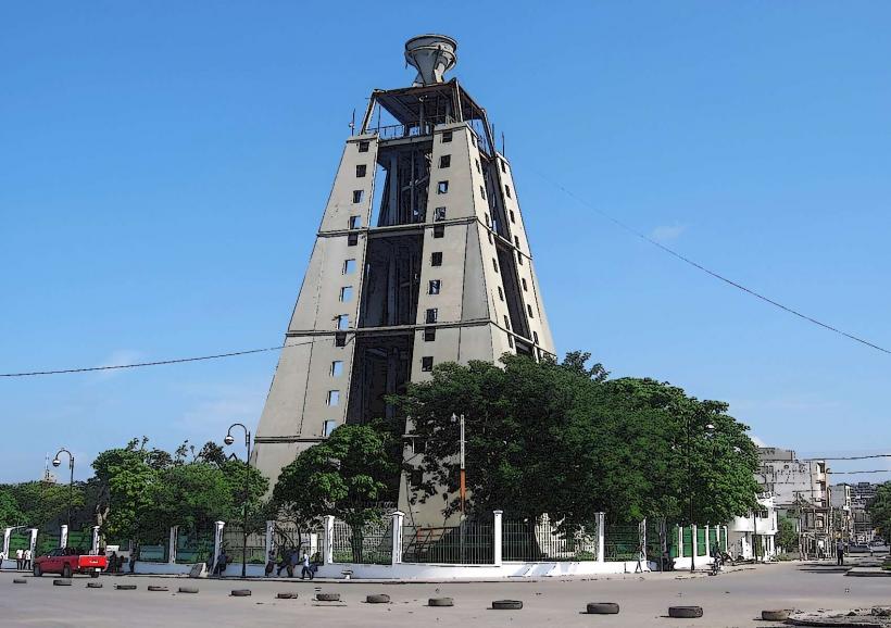
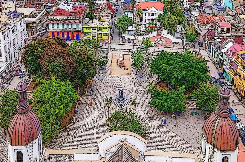
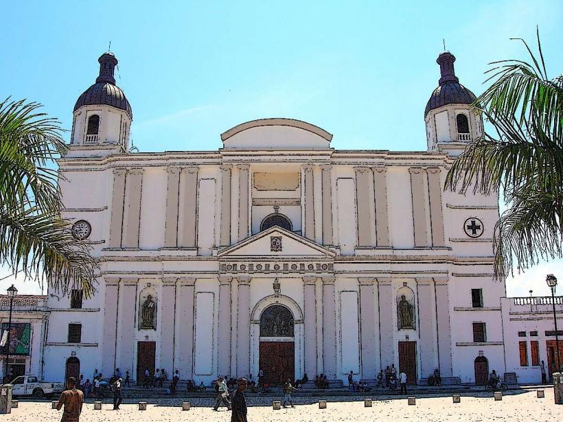
- 0.8km North: Cathedral of Cap Haitien
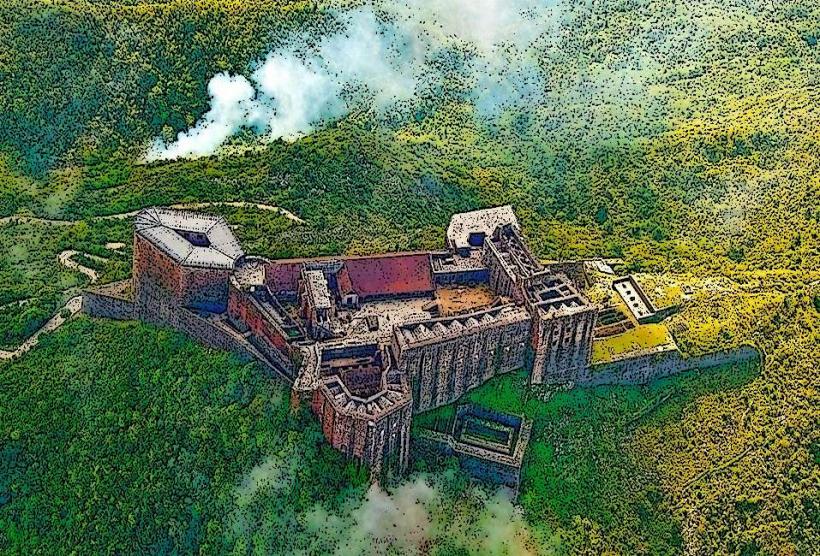
- 1.5km North: Citadelle Laferrière (requires separate travel)
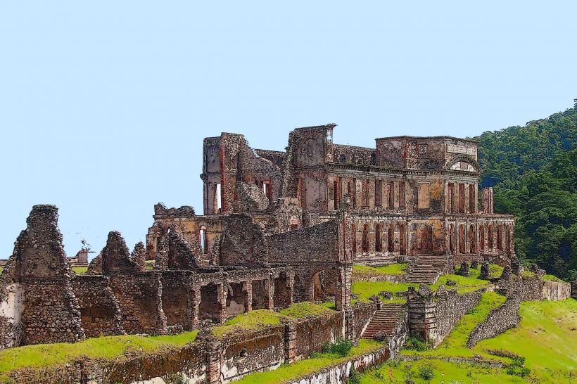
- 2.0km North: Sans-Souci Palace ruins
- 3.5km West: Bassin Bleu (requires separate travel)