Landmark: Montagne Noire
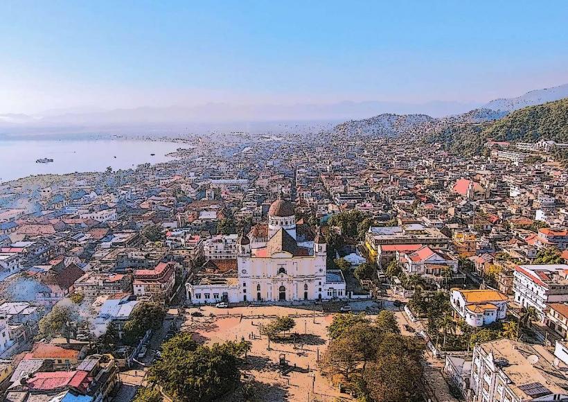
City: Cap Haitien
Country: Haiti
Continent: North America
Montagne Noire, Cap Haitien, Haiti, North America
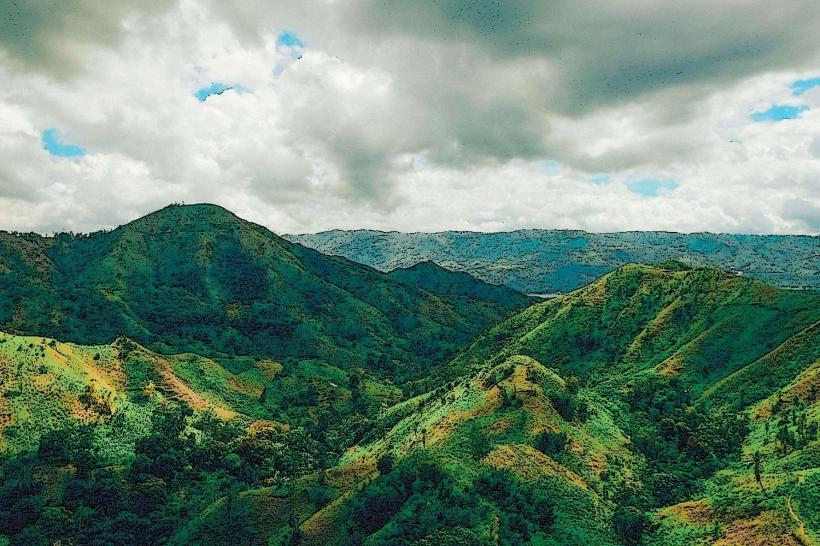
Montagne Noire is a significant geological formation located in the vicinity of Cap Haitien, Haiti.
This elevated landmass presents a rugged topography characterized by dense vegetation and exposed rock faces.
Visual Characteristics
The terrain consists of steep slopes covered in tropical foliage, with exposed sections of dark, weathered rock. The elevation provides panoramic views of the surrounding coastal plain and the Caribbean Sea. Vegetation density varies, with denser growth in ravines and sparser coverage on exposed ridges.
Location & Access Logistics
Montagne Noire is situated approximately 8 kilometers southwest of Cap Haitien. Access is primarily via the Route Nationale 1 (RN1) heading south. A turn-off onto a secondary, unpaved road (local designation varies) leads towards the base of the formation. The final approach involves a moderate hike. Parking is informal and available at the road's end. Public transport to the RN1 is available via local tap-taps (shared taxis) from Cap Haitien; however, no direct public transport serves the immediate access point to Montagne Noire.
Historical & Ecological Origin
Montagne Noire is a product of volcanic activity, forming part of the Northern Haitian mountain range. Its geological origin dates back to ancient volcanic processes that shaped the island's topography. Ecologically, it supports a tropical dry forest ecosystem, adapted to the region's climate.
Key Highlights & Activities
Hiking trails of varying difficulty ascend Montagne Noire. Observation points offer views of Cap Haitien and the coastline. Birdwatching is possible due to the diverse avian population. Photography opportunities exist, particularly during sunrise and sunset.
Infrastructure & Amenities
No formal infrastructure or amenities are present at Montagne Noire. Restrooms, shade, and food vendors are not available on-site. Cell phone signal (2G/3G) may be intermittent depending on elevation and network provider.
Best Time to Visit
The optimal time for visiting is during the dry season, from December to April. Early morning hours (07:00-10:00) provide cooler temperatures and favorable lighting for photography. Late afternoon (15:00-17:00) also offers good light conditions.
Facts & Legends
Local folklore suggests that the dark appearance of the rock formations gave the mountain its name, "Black Mountain." It is also said to have been a strategic lookout point during historical conflicts in the region.
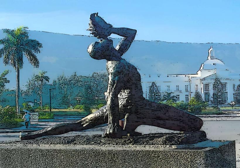
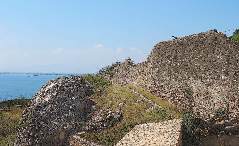
Nearby Landmarks
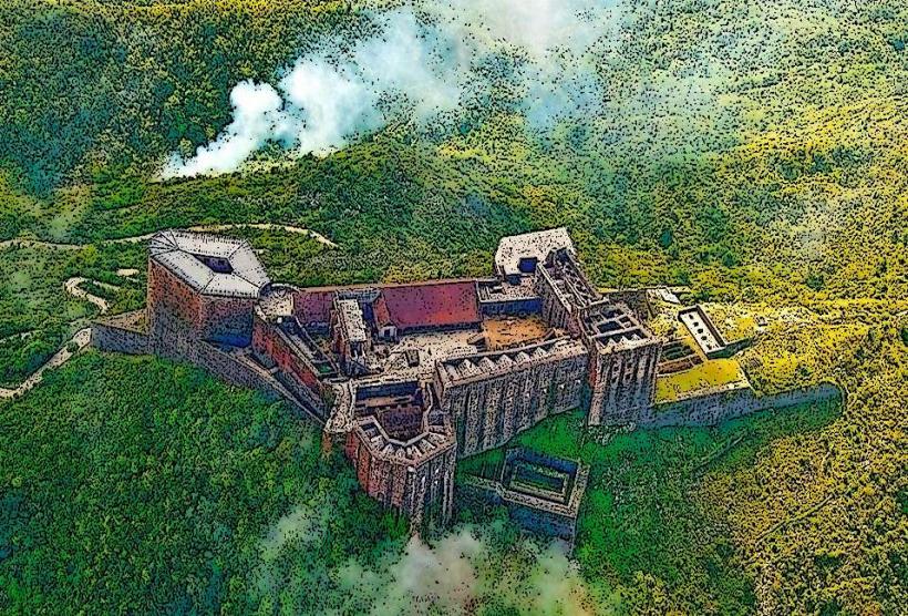
- Citadelle Laferrière (12km Northwest)
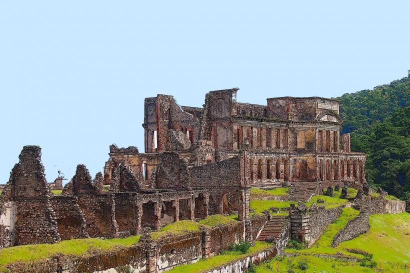
- Sans-Souci Palace (11km Northwest)
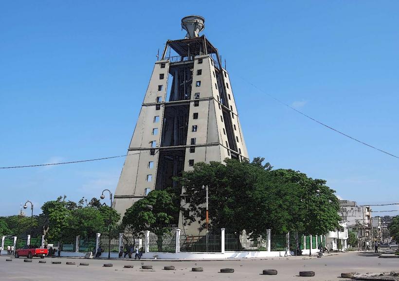
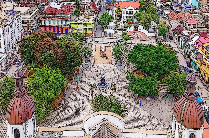
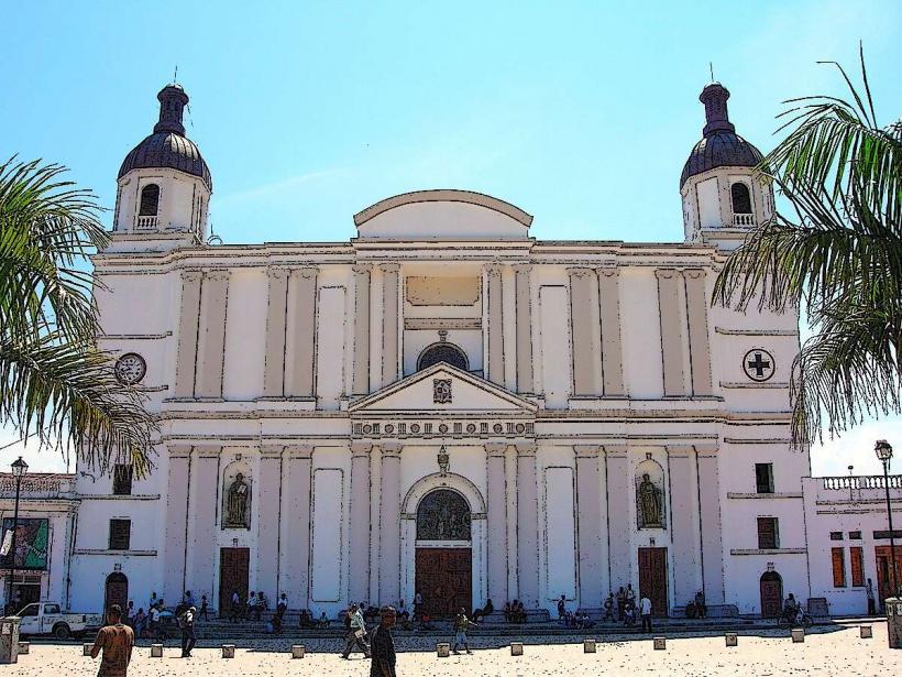
- Cap Haitien Cathedral (8km Northeast)
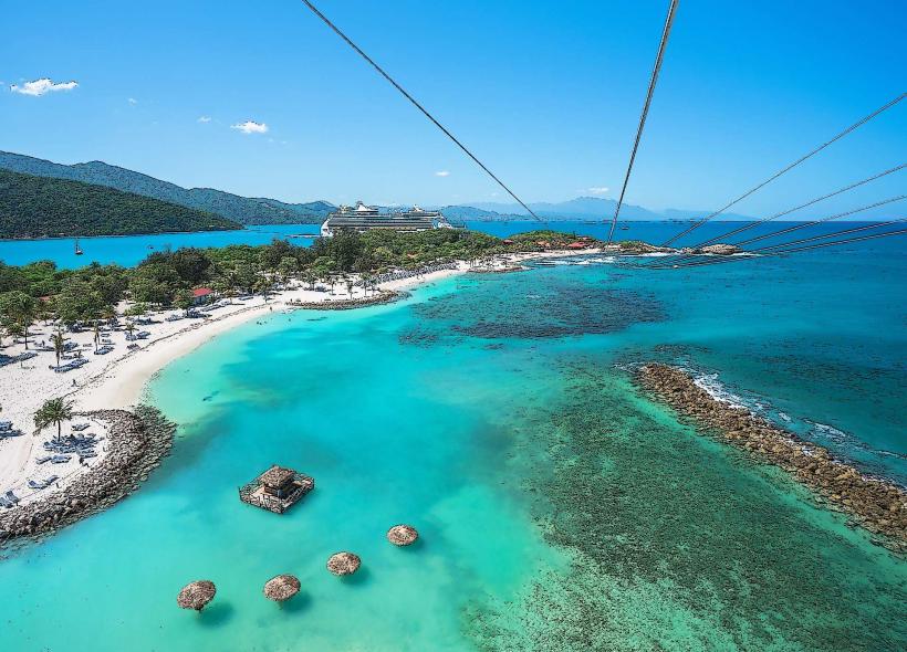
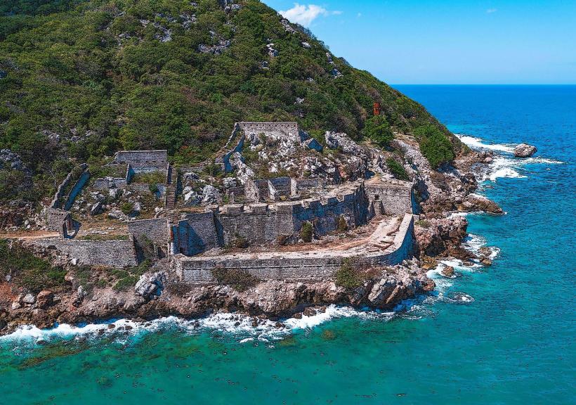
- Fort Picolet (10km North)